Distance: 4.5 Mile loop, option for more or less
Difficulty: Easy Side of Moderate
Located on at 309 Center Road in Hillsborough is a great series of trails at Fox Forest. I believe there are around 8-10 miles of trails. They also have a building that they hold various events. It reminded me of the Harris Center in Hancock or Beaver Brook in Hollis.
There are several trails to pick from, but I had read in my The New Hiking the Monadnock Region book (link below) that there was a lookout platform with views of Crotched Mountain, Mount Monadnock and the Contoocook River Fall. I was determined to find this.
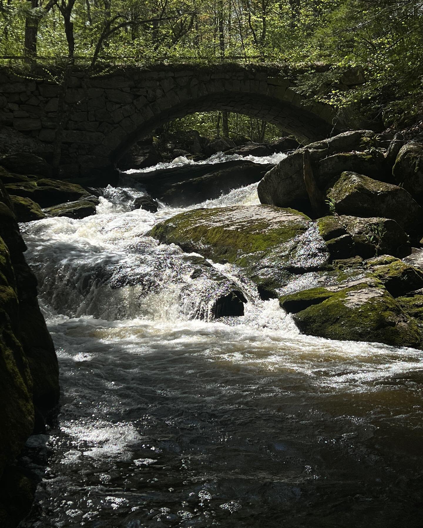
We took the Ridge Trail from the Main Parking Lot on Center Road. From the parking lot you walk down the grassy hill to the right of the kiosk. I recommend stopping at the kiosk to get a map. Luckily the trails are fairly well marked, there were a couple times were I was not exactly sure where to go. We followed the trail through the forest along a small stream. The trail pop out beside an older cemetery and onto Concord Road, which is a dirt road.
From here I was not exactly sure where to go so we started walking up the road. We came to a fork in the road and this is where I decided to pull out the Map. At the Cemetery we should have gone left and met up with the other part of the Ridge Trail, but in the end this way worked out nice. At the fork we kept left on Concord End Road. This road connected with the Ridge Trail.

We continued to follow the Ridge Trail and had the option to take a cut off of Monroe HIll Trail, which in the end we should have taken. Instead we continued straight towards Molly J Road. I’m not exactly sure where we got the turn, but after making a steady incline down, the started going up again and ended at the end of the Monroe Hill Trail. This whole time we had seen a couple signs for tower and were feeling like it was a lost cause, but to our surprise at the trail intersection was the small lookout tower.

With a decent view form the top. Unfortunately this is the only view we saw from the Ridge Trail. I am not sure if other trails have viewpoints.

From the tower we followed the Ridge Trail back to Spring Road, then connecting to Concord End Road at the Cemetery. We ended up doing an almost four and half mile loop. I would consider this moderate as there are some steep sections and the length of the trail. There are options for shorter routes.
I am excited to go back and explore some other trails in the forest.