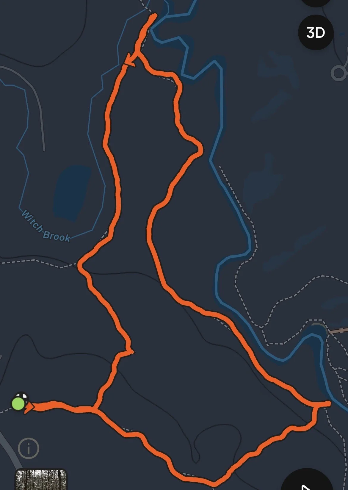
Mileage: 2.4 Miles Roundtrip
Difficulty: Hard side of Moderate
I love to save places to visit around New England. I have been following photos of Georgiana and Harvard Falls for a few years now. I recently did the hike and dipped in the swimming holes and it was amazing. Below is information on the hike and swimming holes.
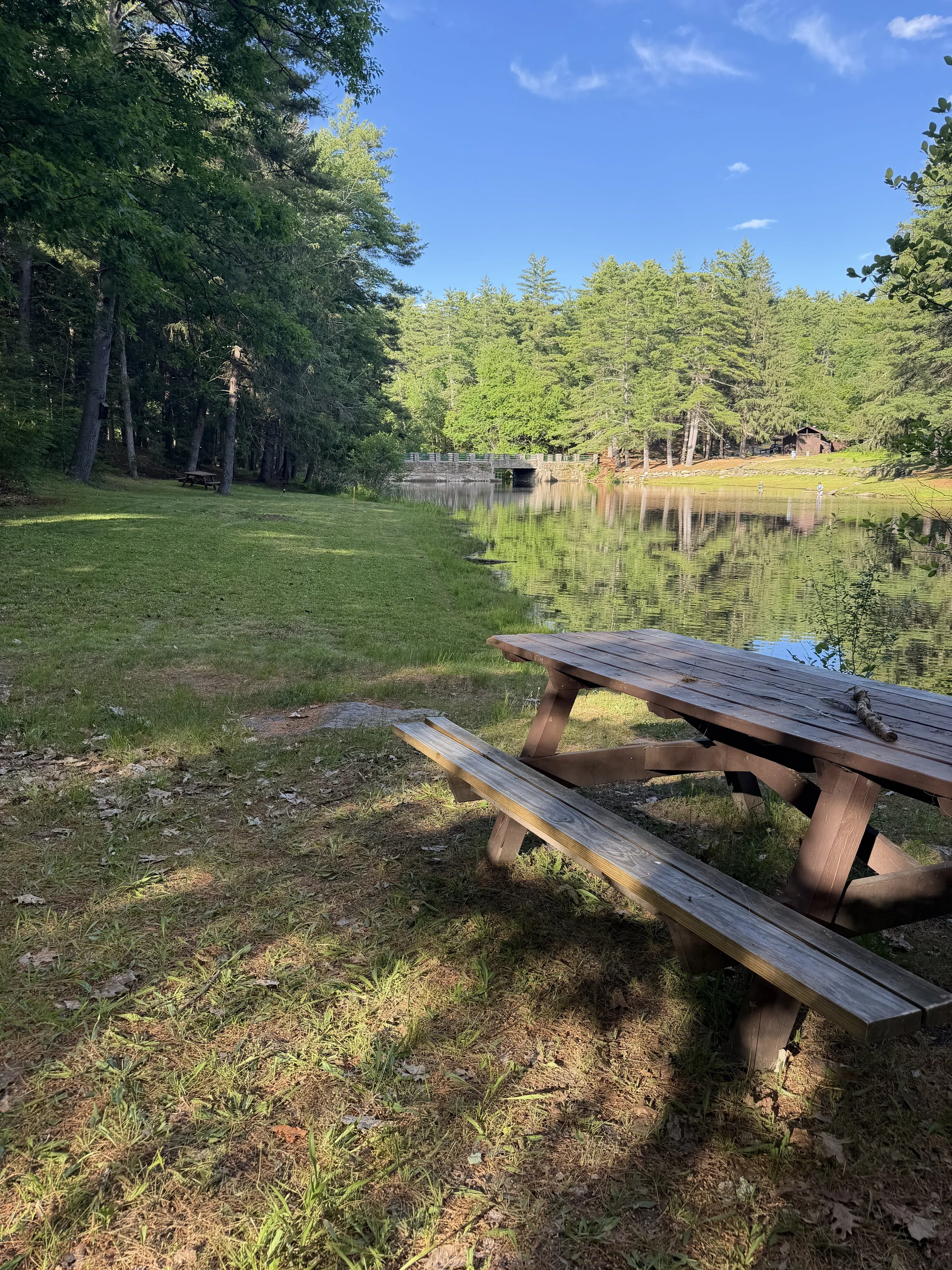
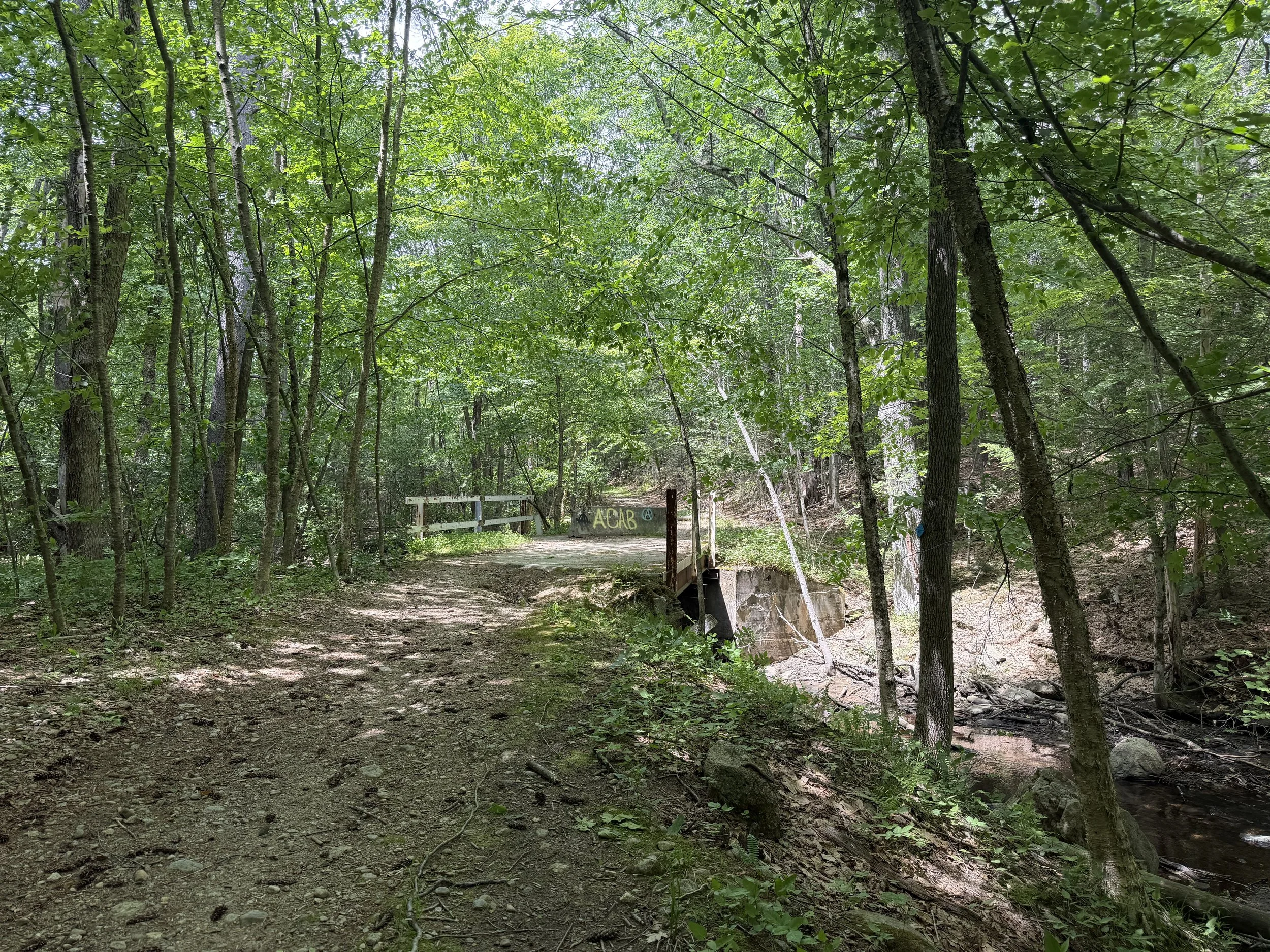
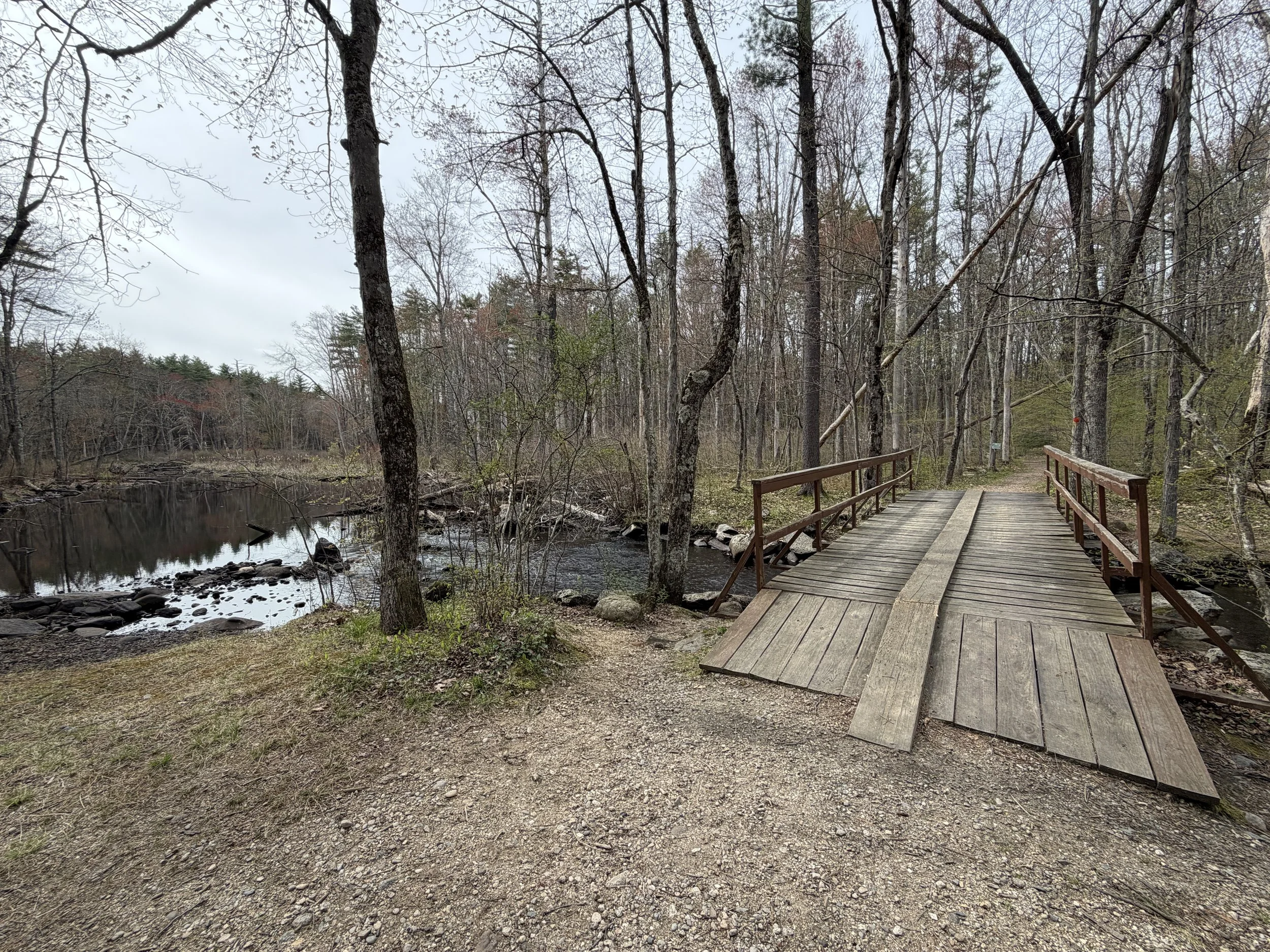
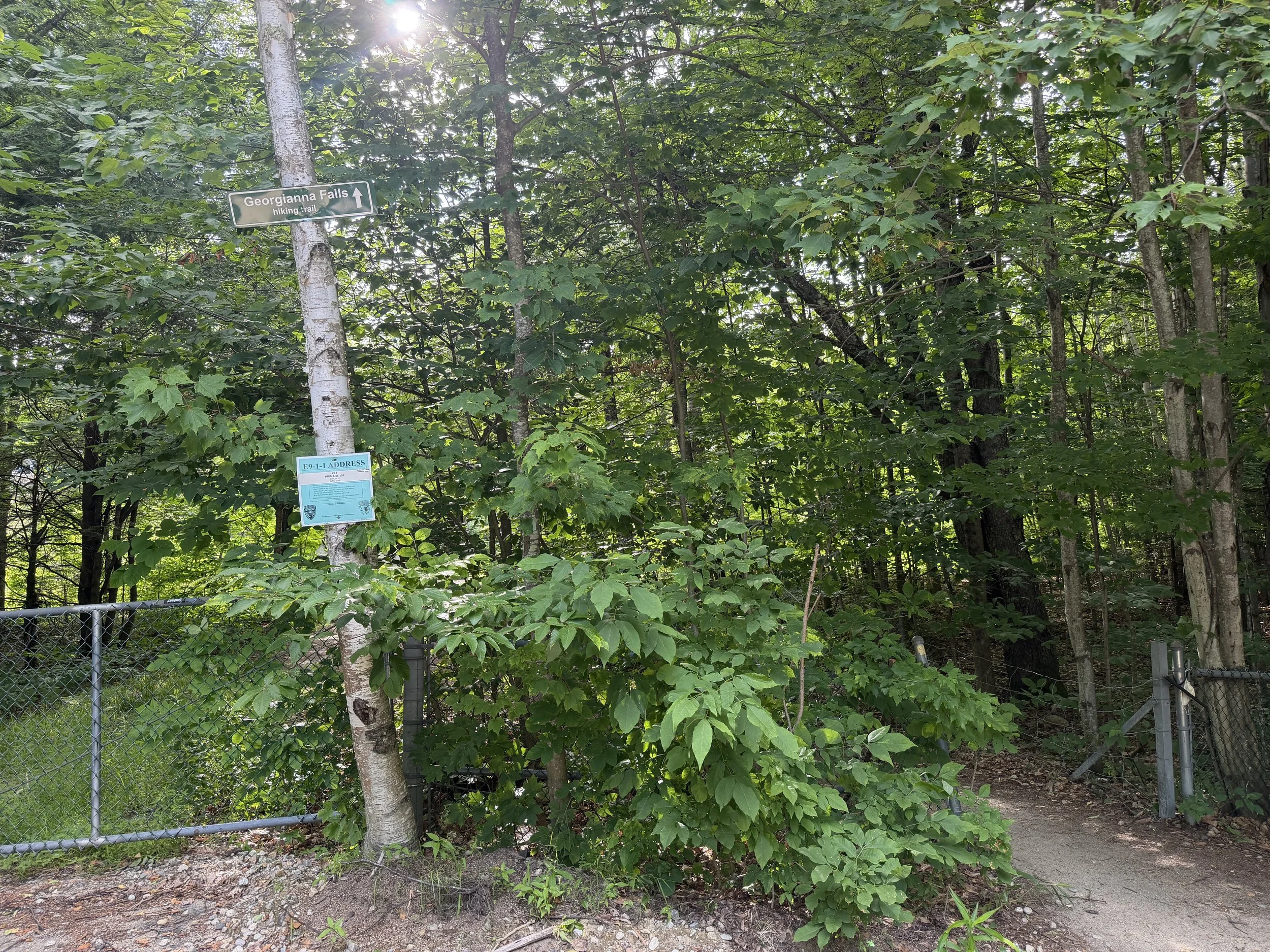
Located on Georgiana Falls Road in Lincoln, New Hampshire is the trailhead for Georgiana and Harvard Falls. There is a small parking lot, you can also park on the side of the road as long as you are not blocking a driveway.
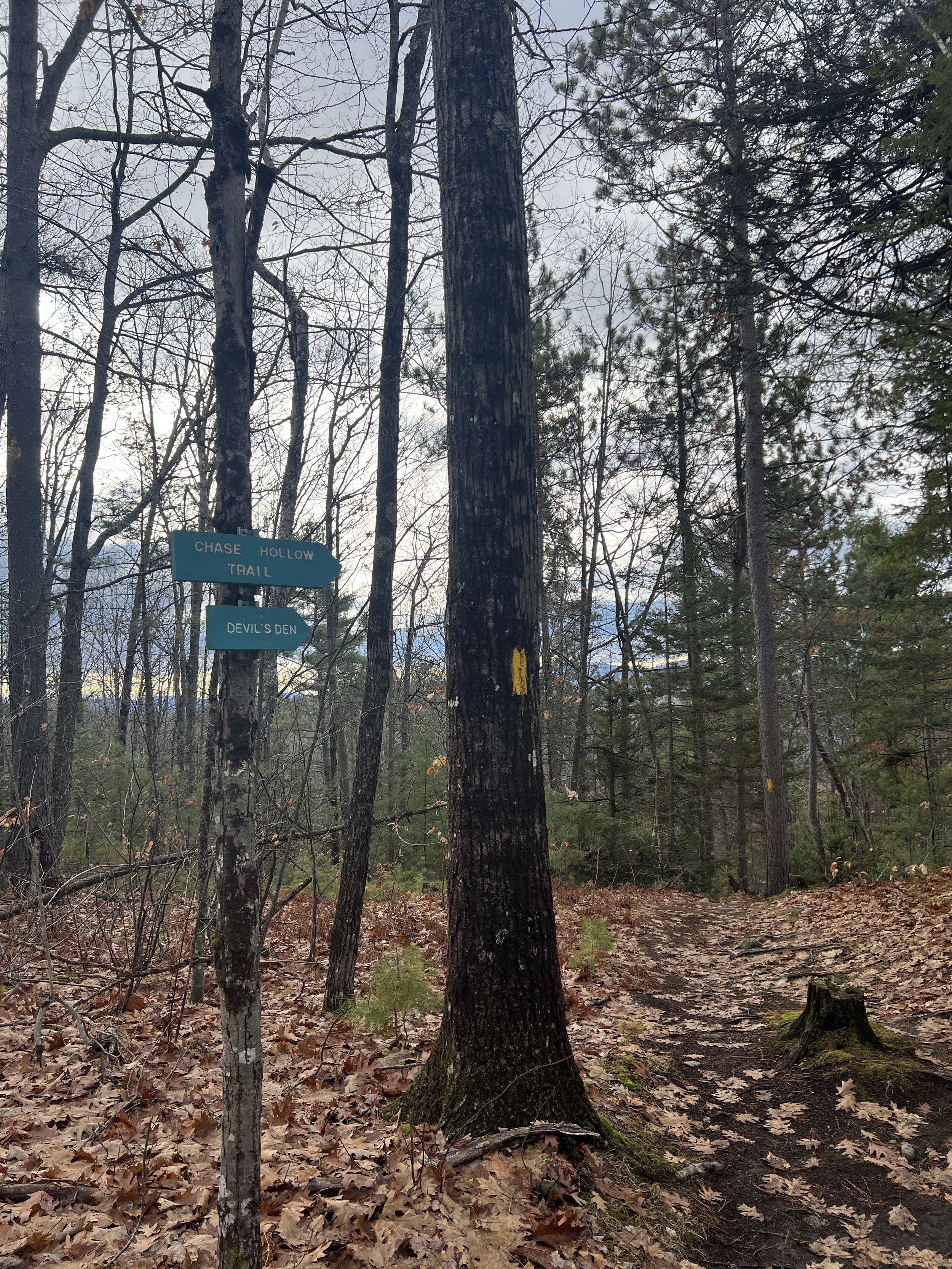
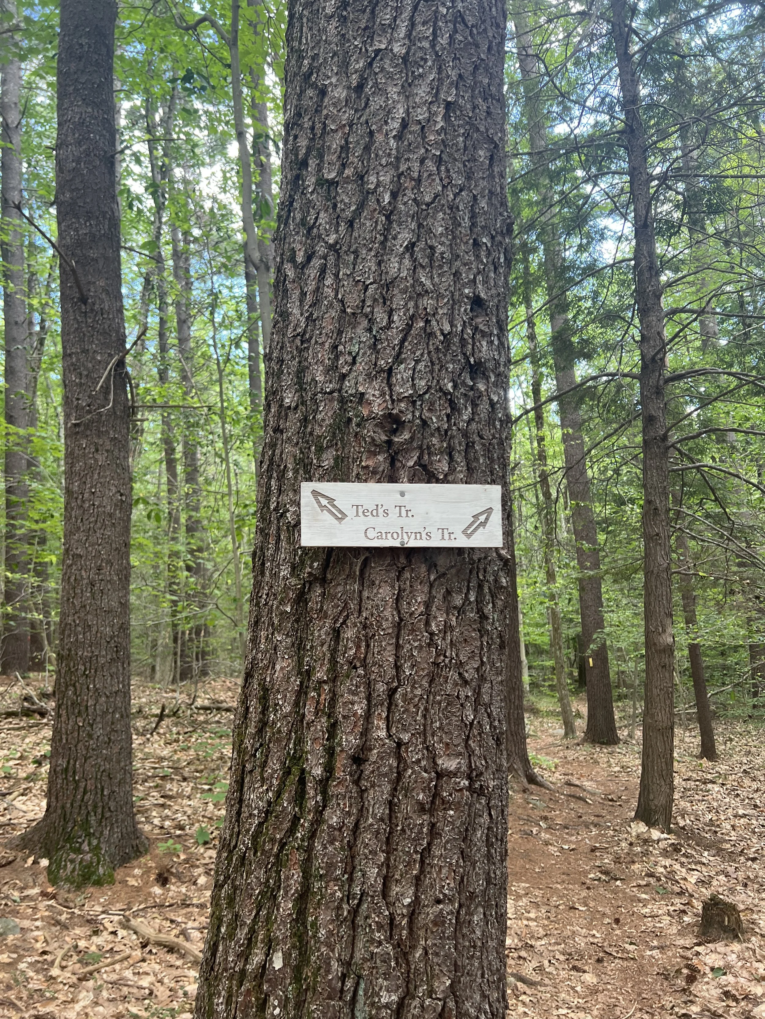
The trail starts past the gate, there is a small sign marking the trailhead.
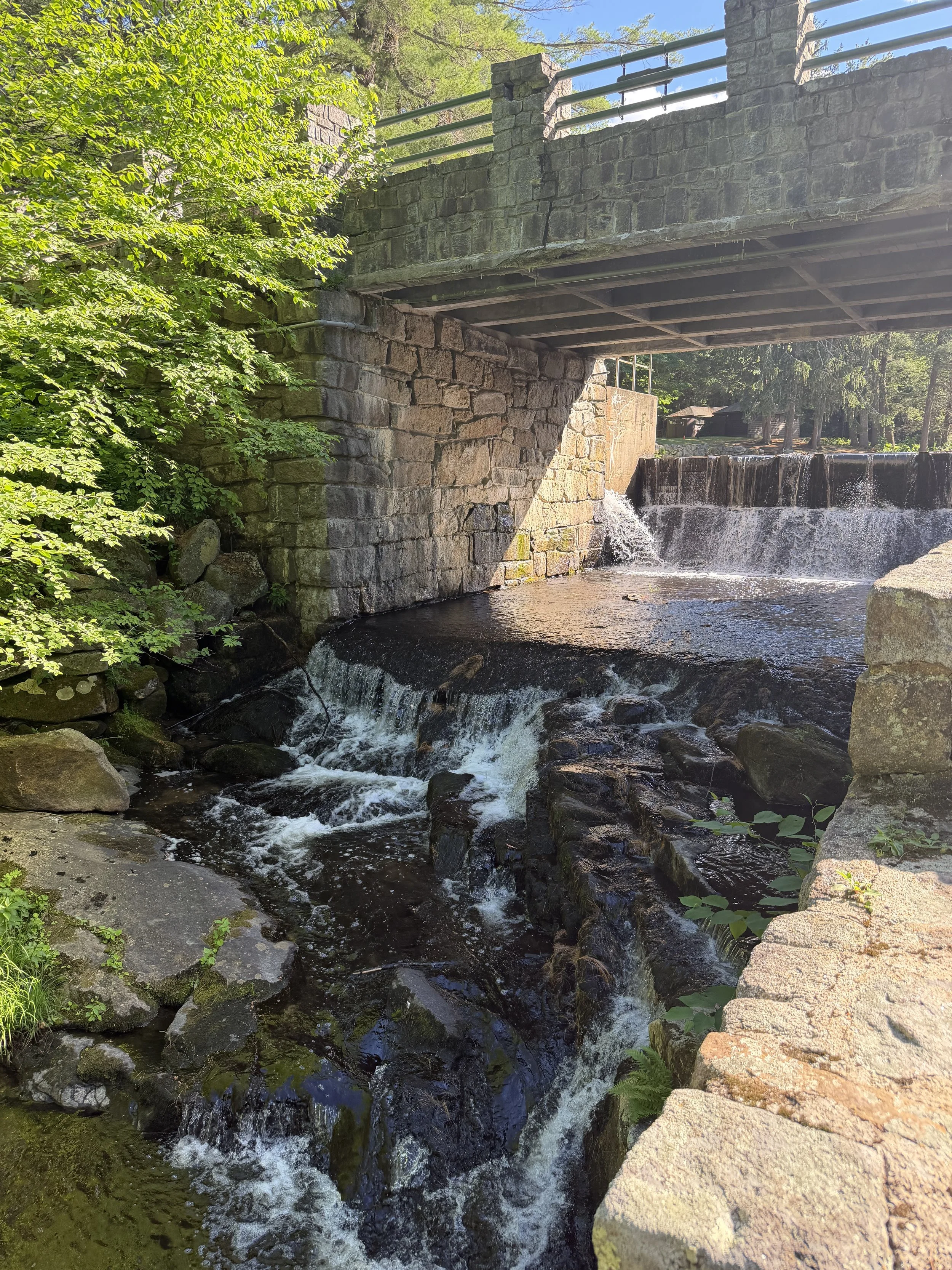
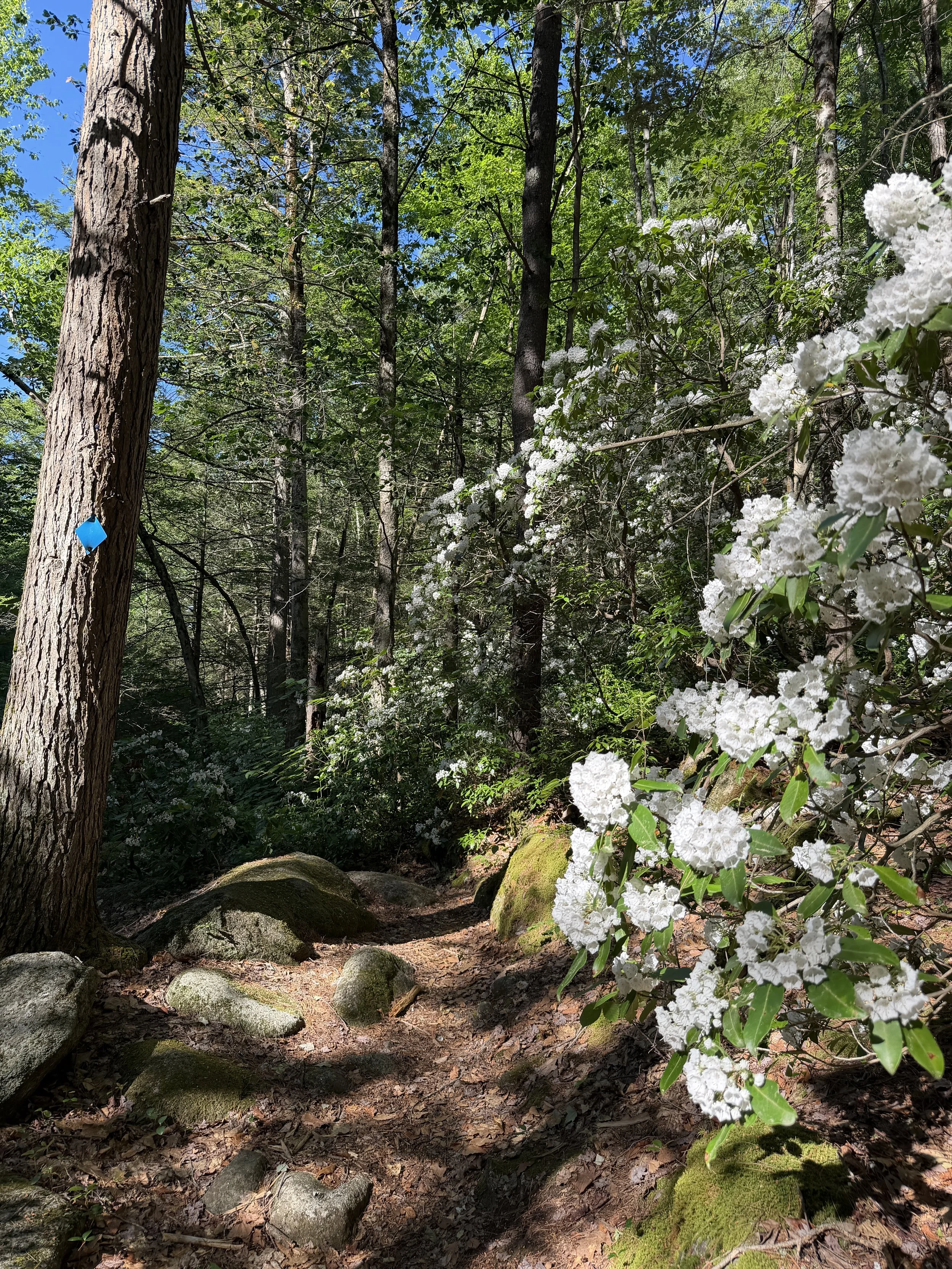
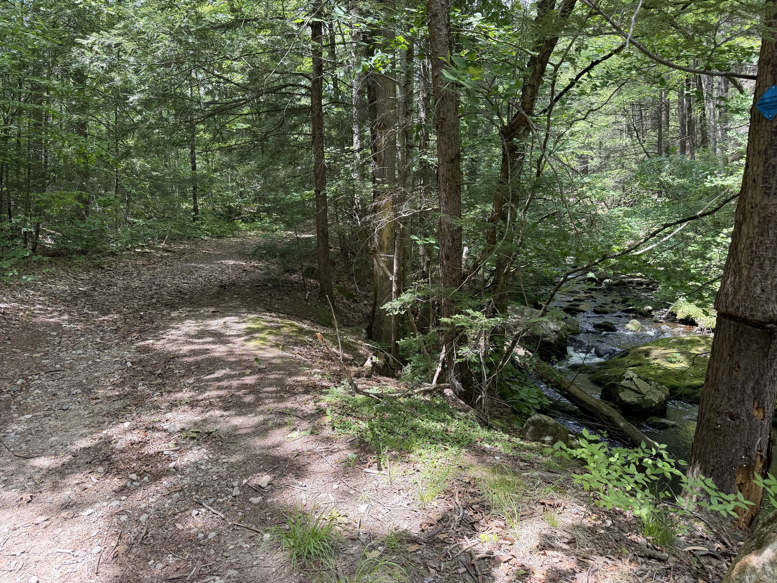
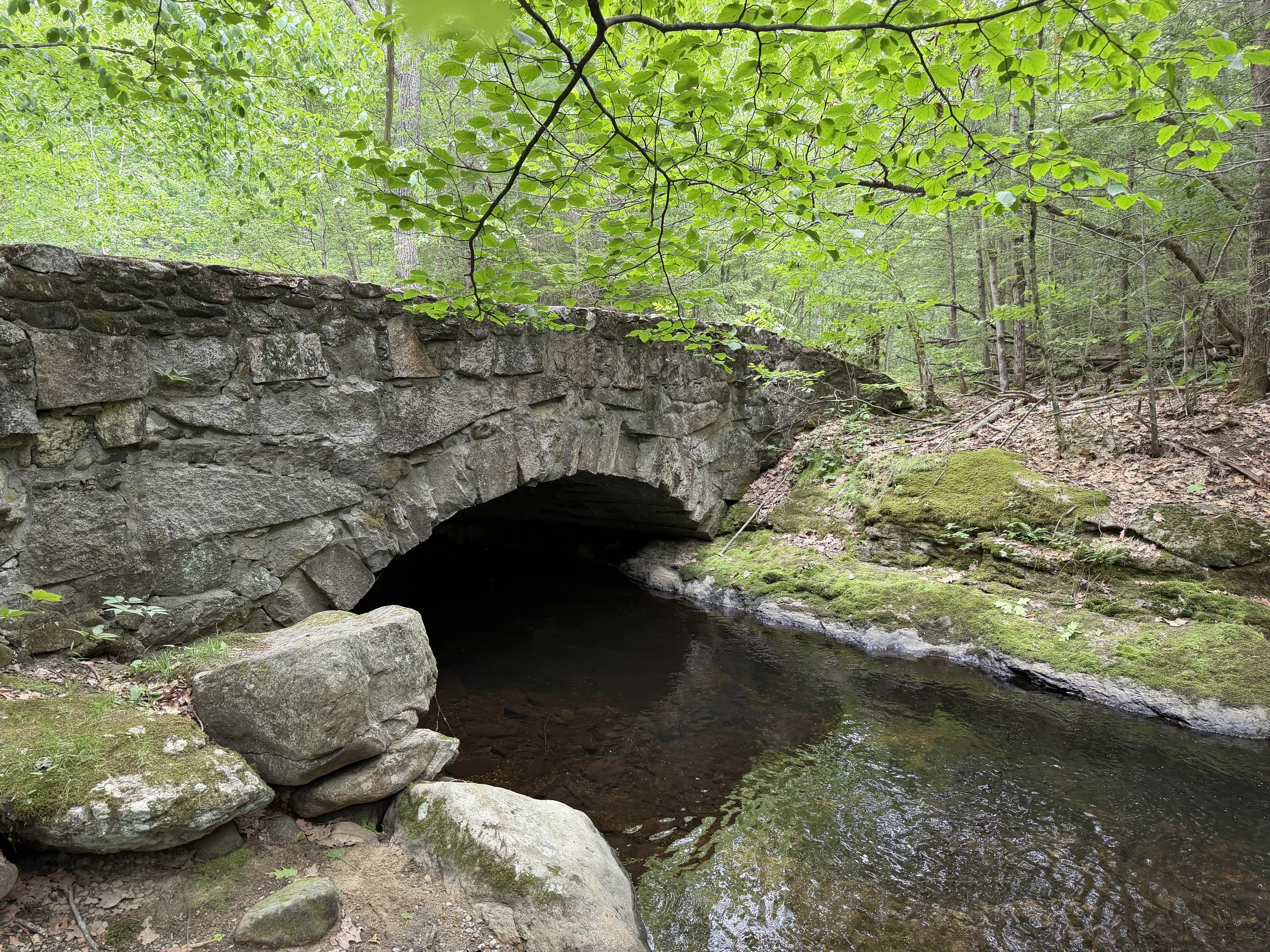
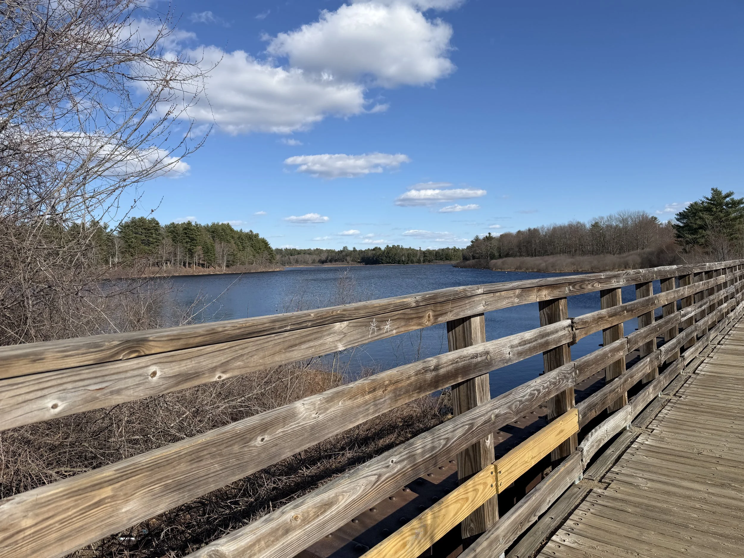
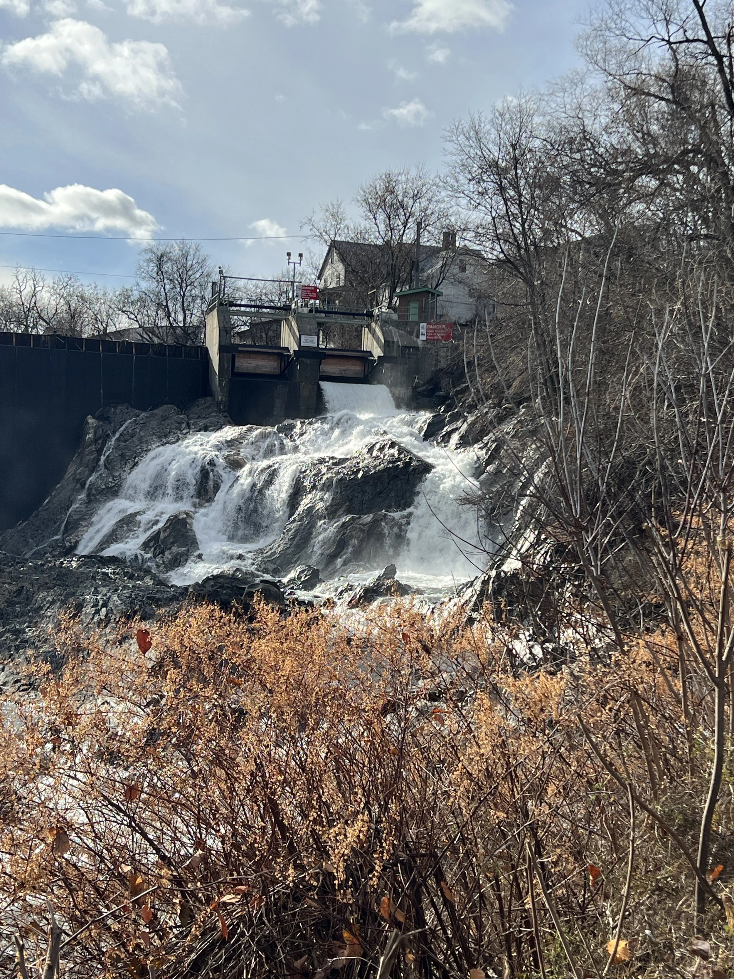
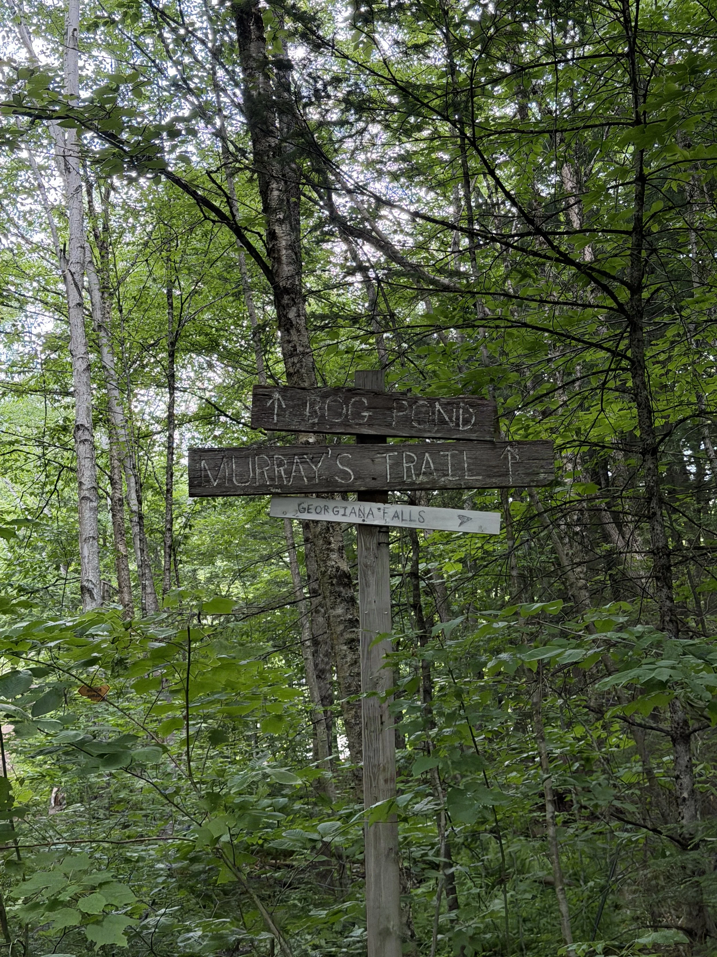
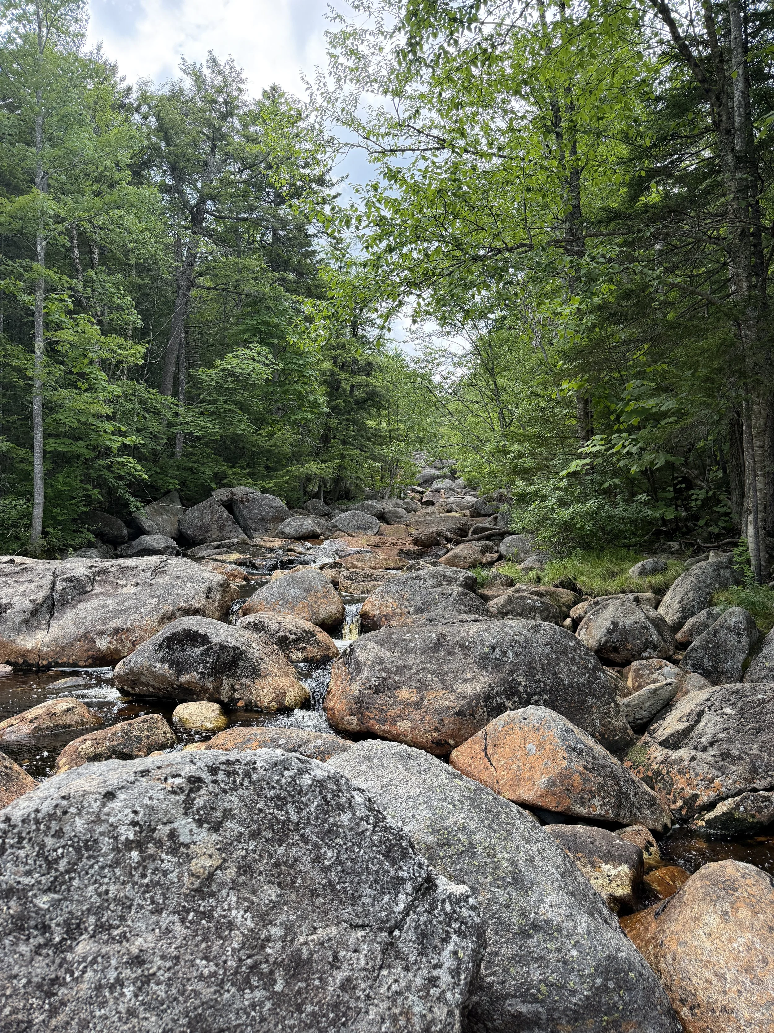
Follow the trail that goes under the highway. After going under the highway bear right to stay on the falls trail. We saw some people going straight, my guess is there is a swimming hole, but we did not check it out.
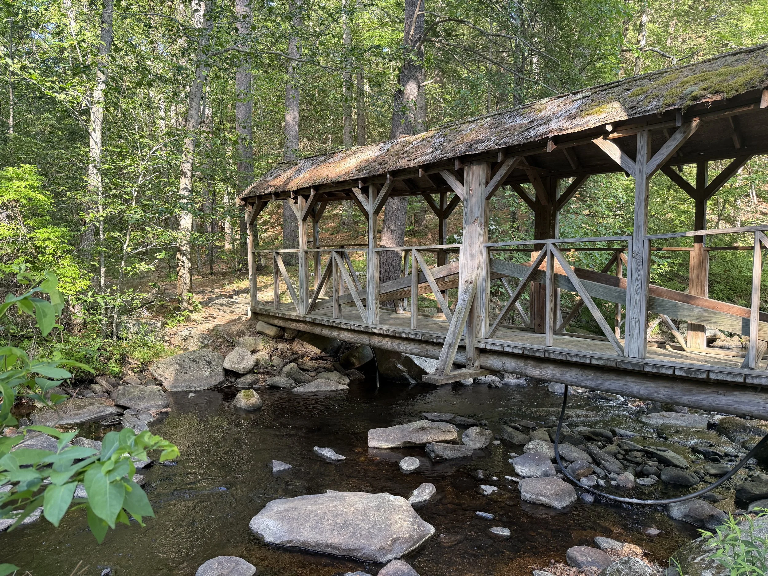
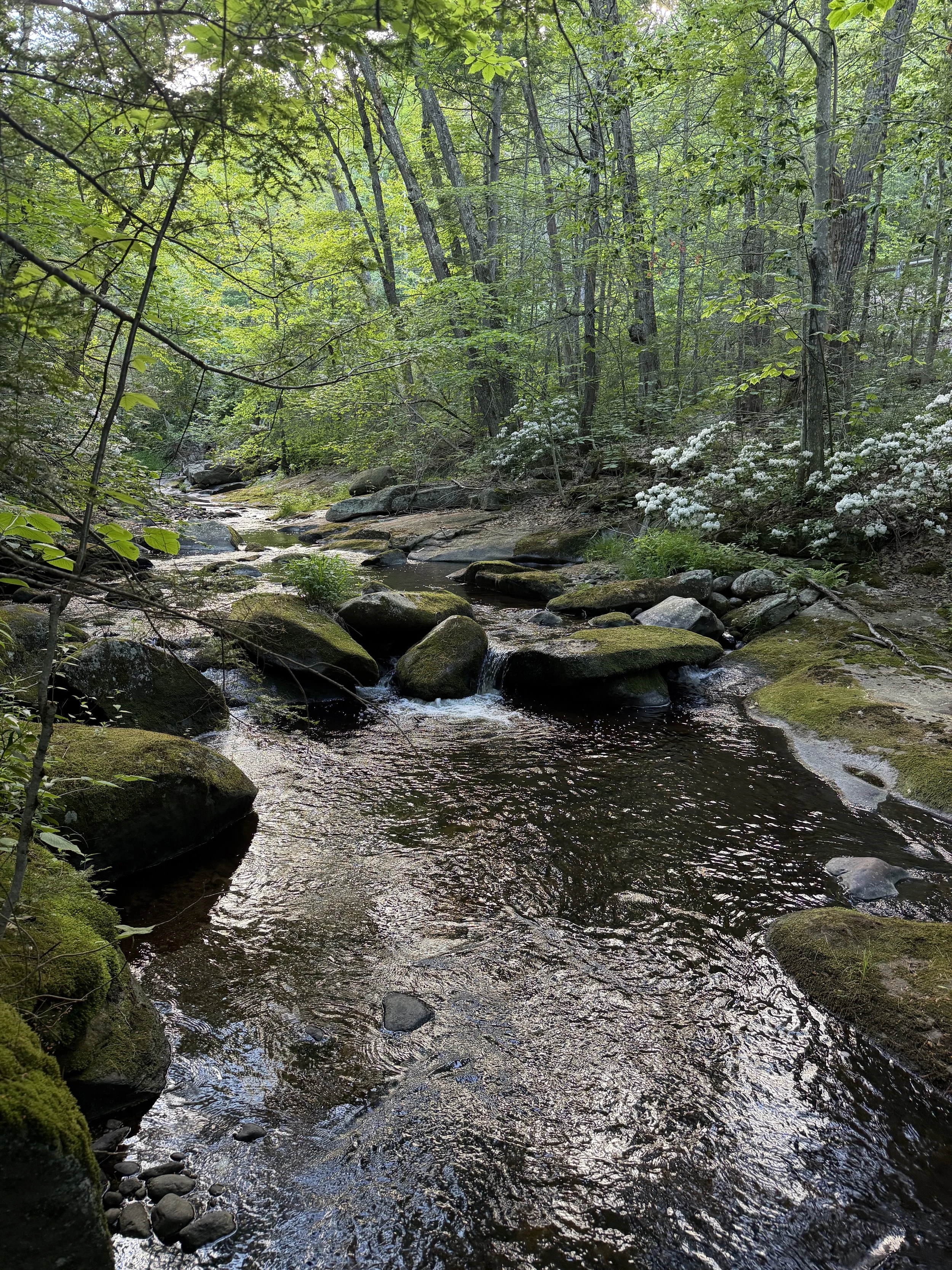
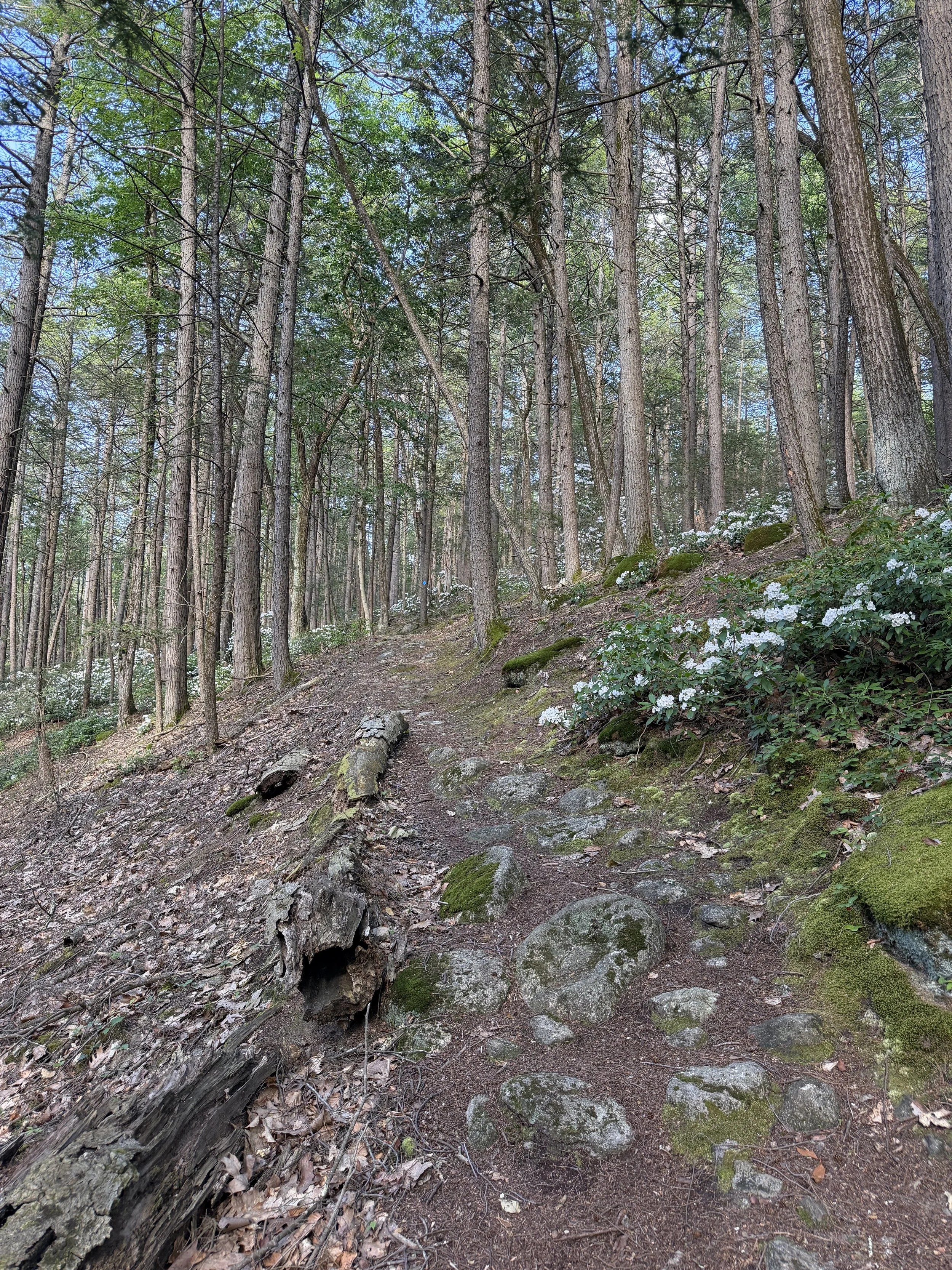
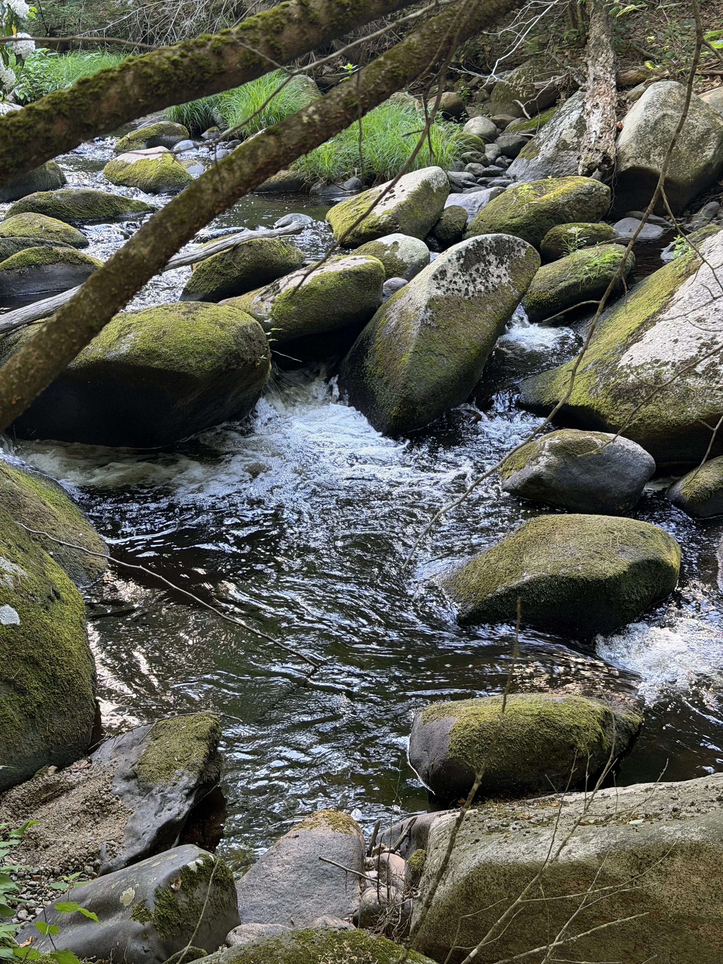
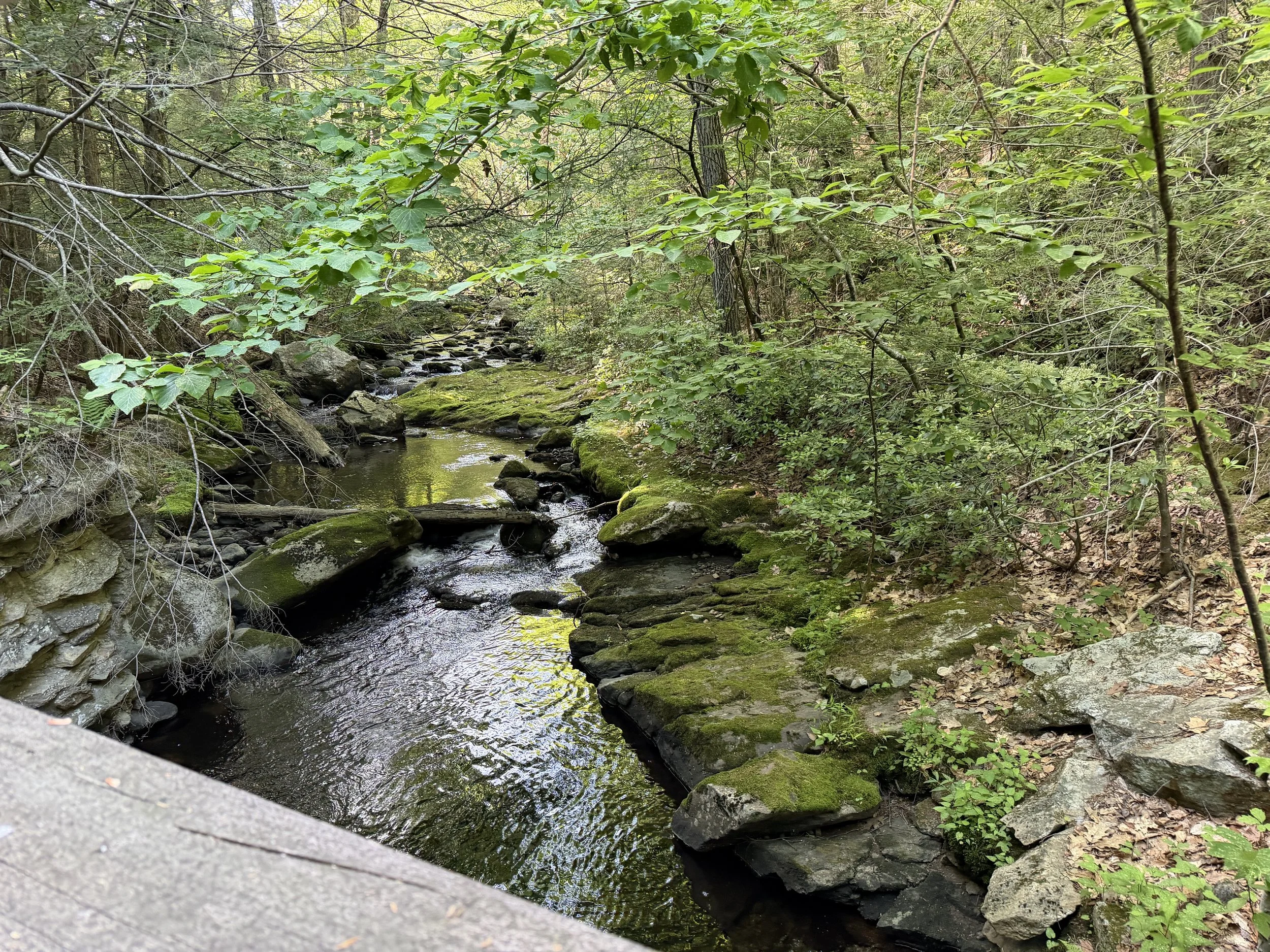
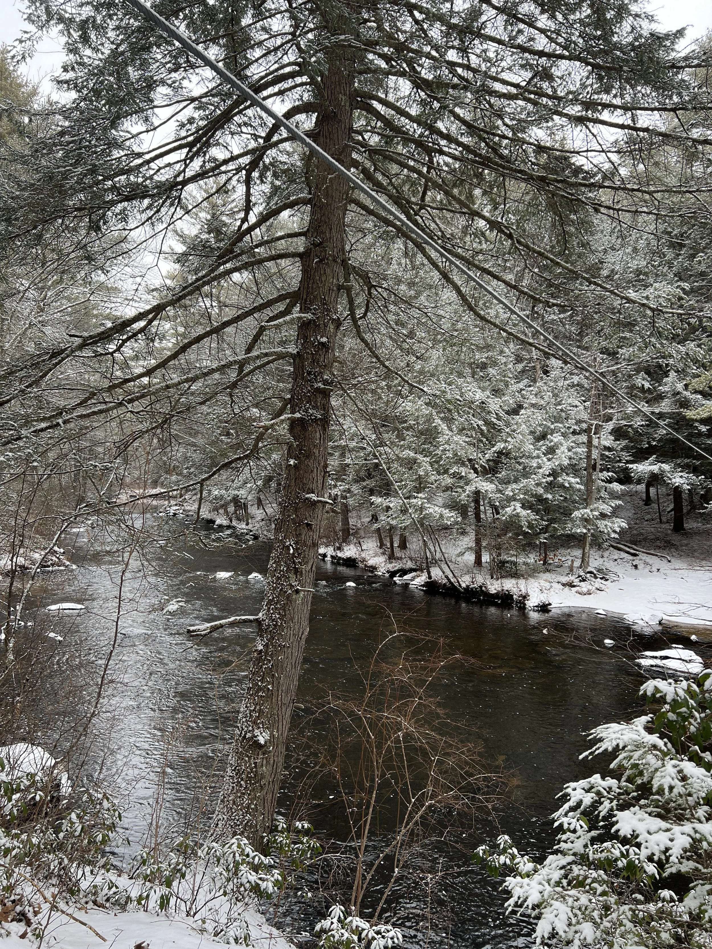
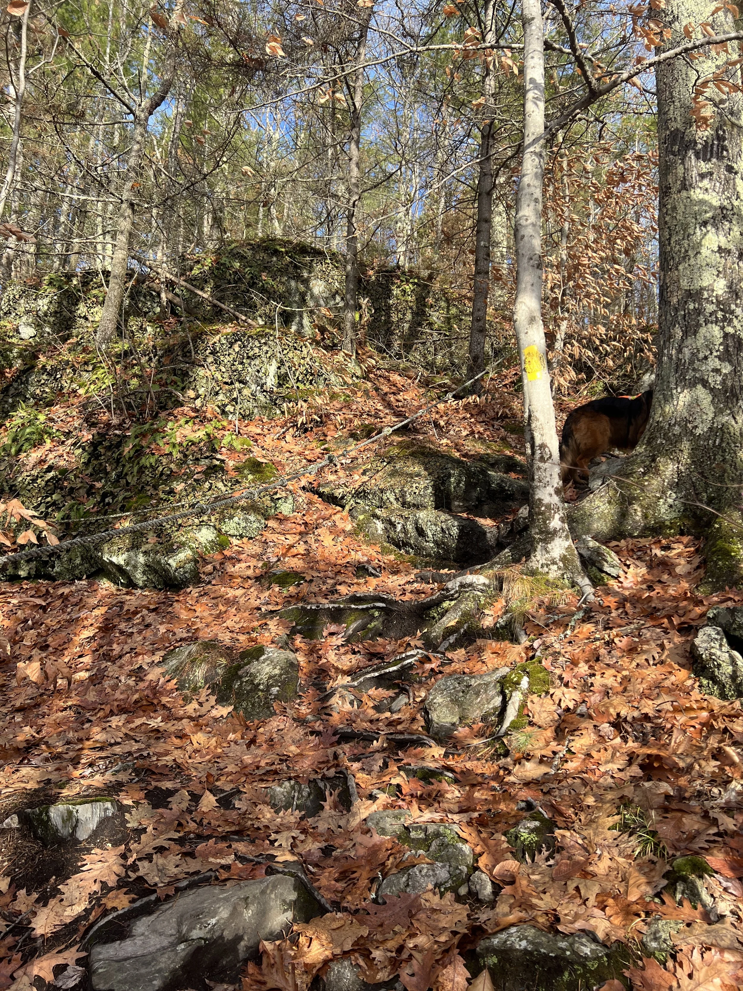
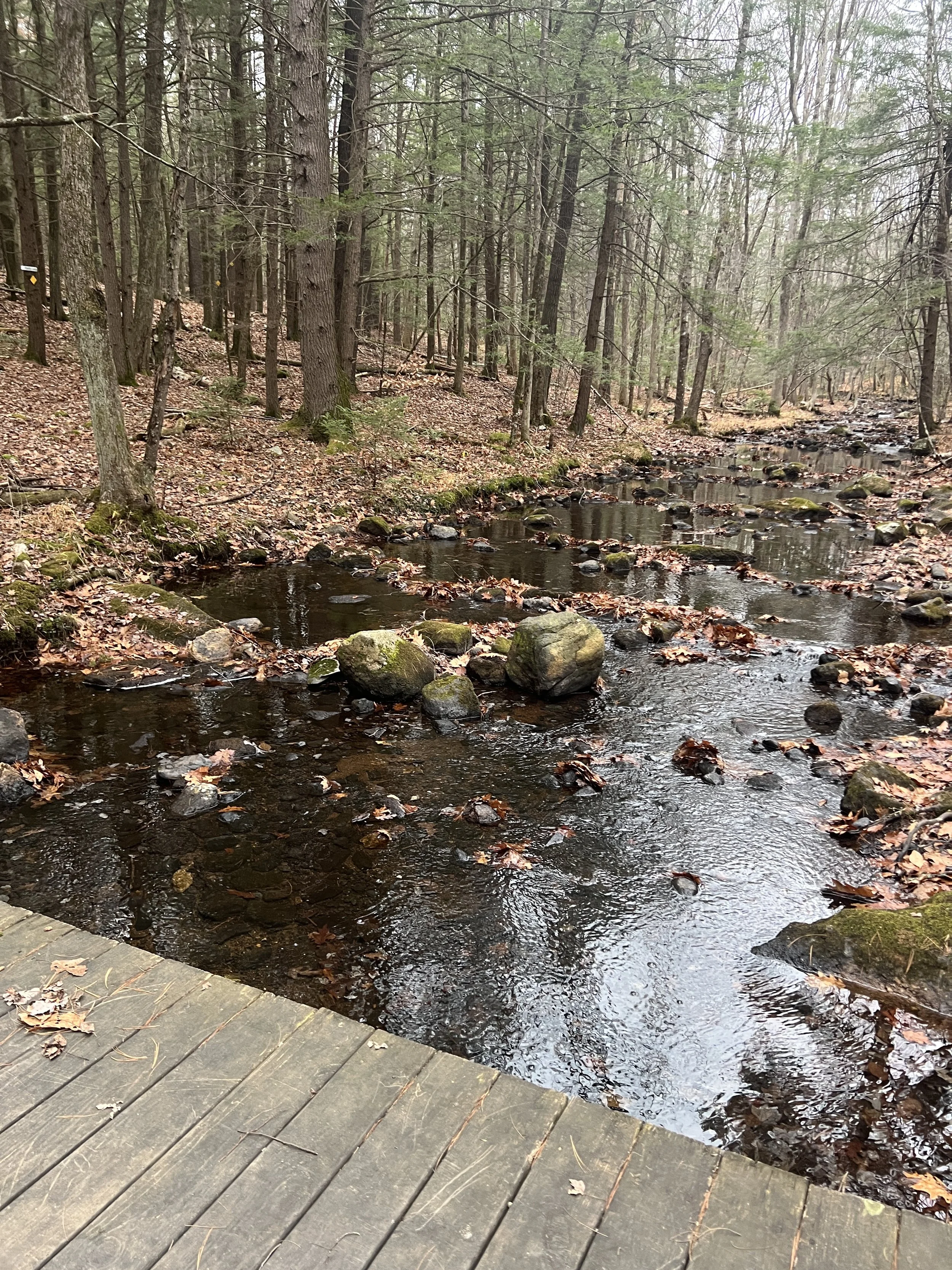
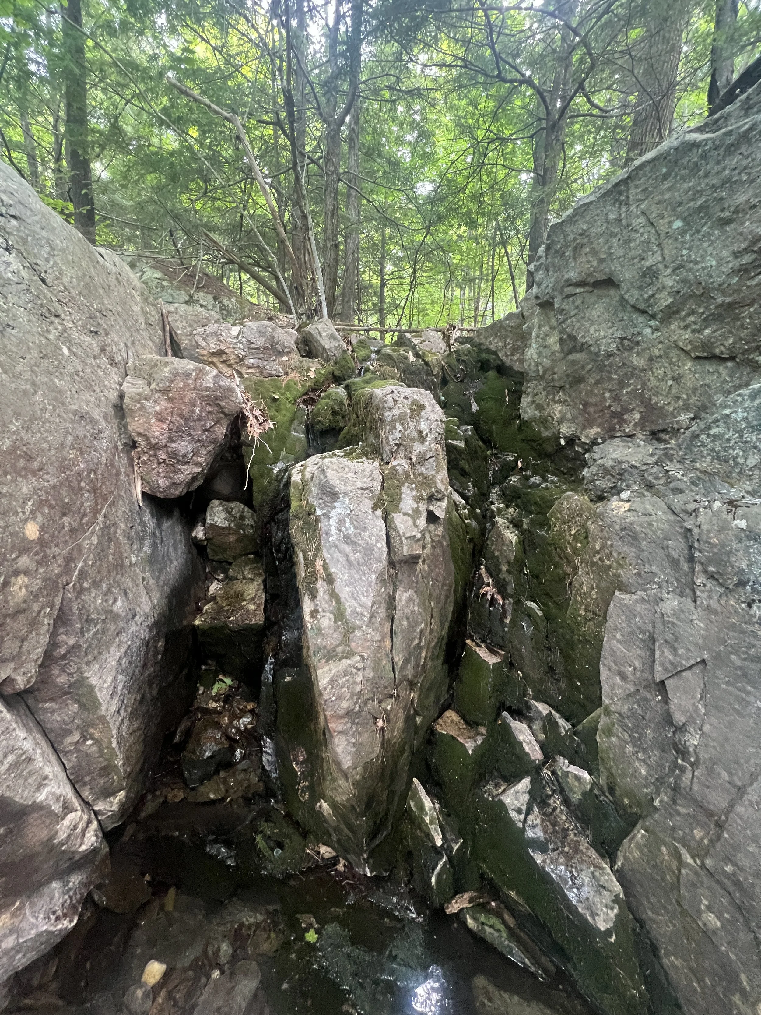
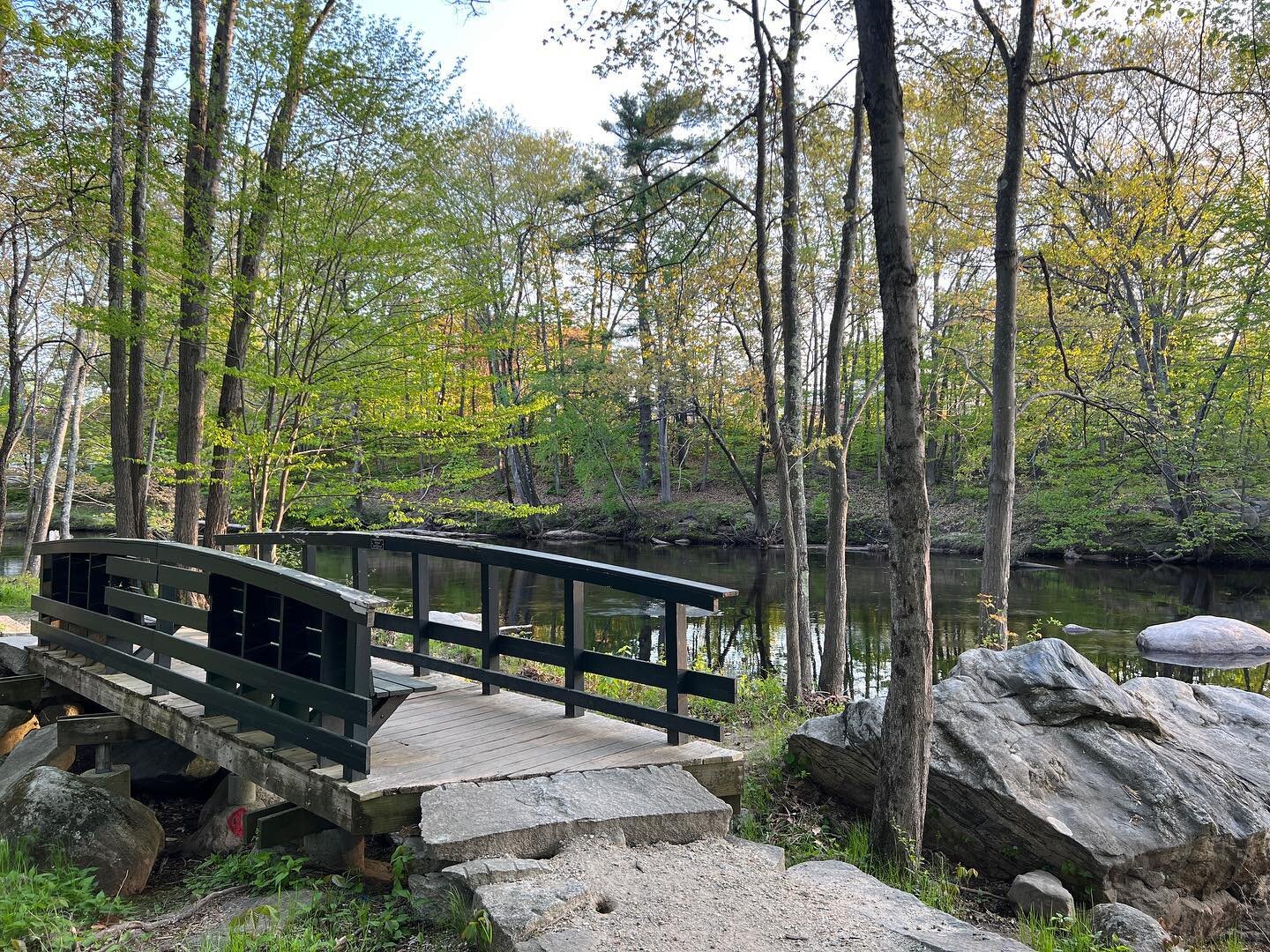
The trail is fairly flat for the first half mile and follows a beautiful stream. Before you get to Georgiana Falls you come to a steep rocky area. At some points I had to use my hands to help get over the rocks.
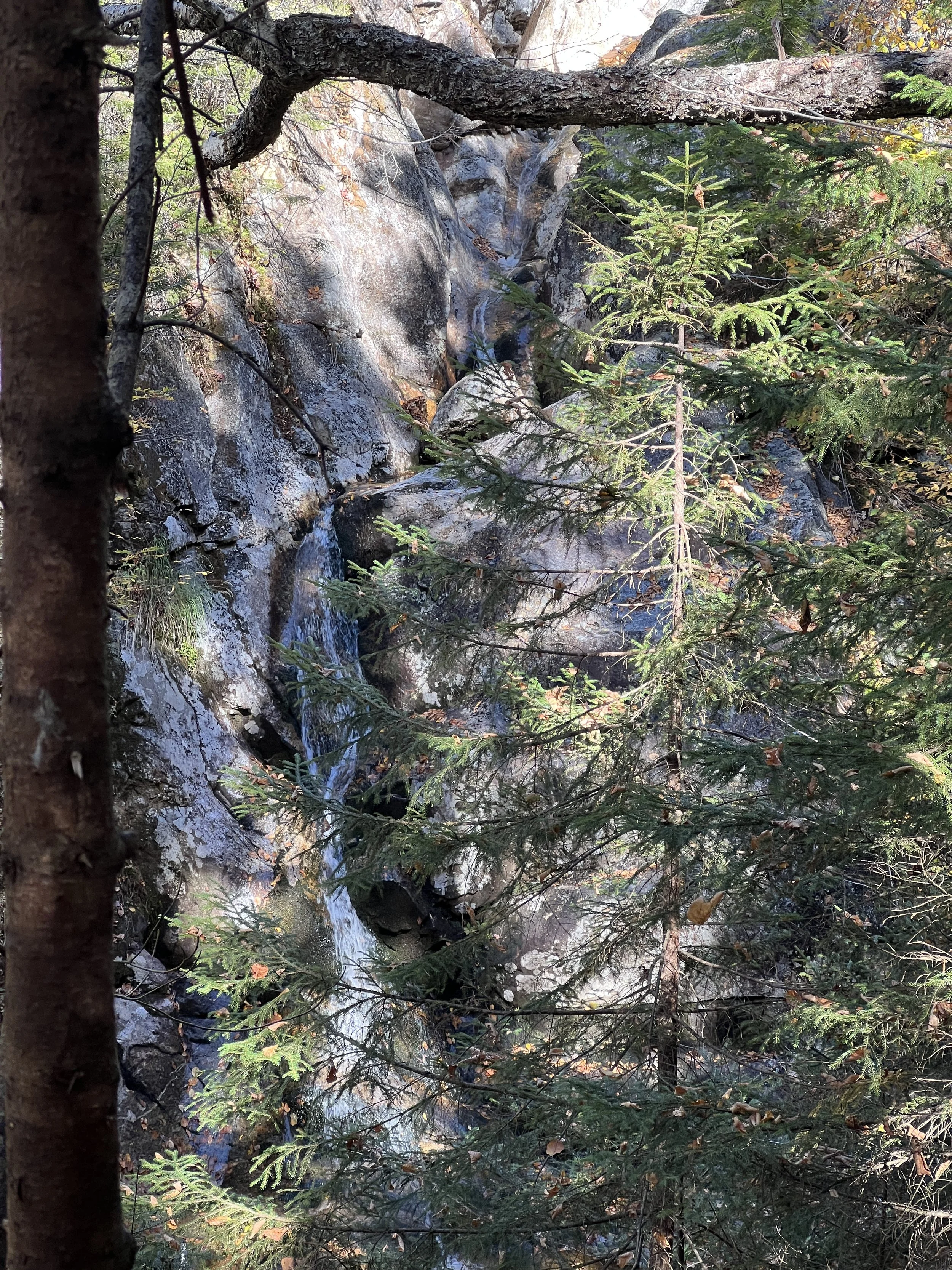
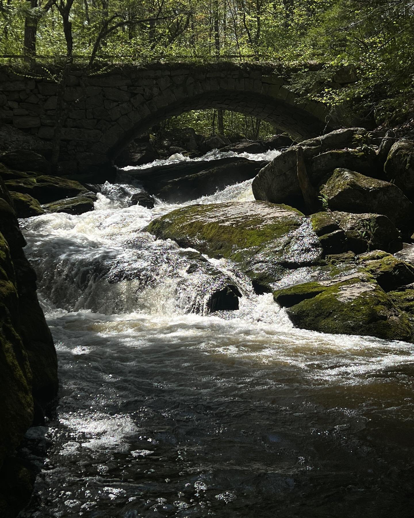
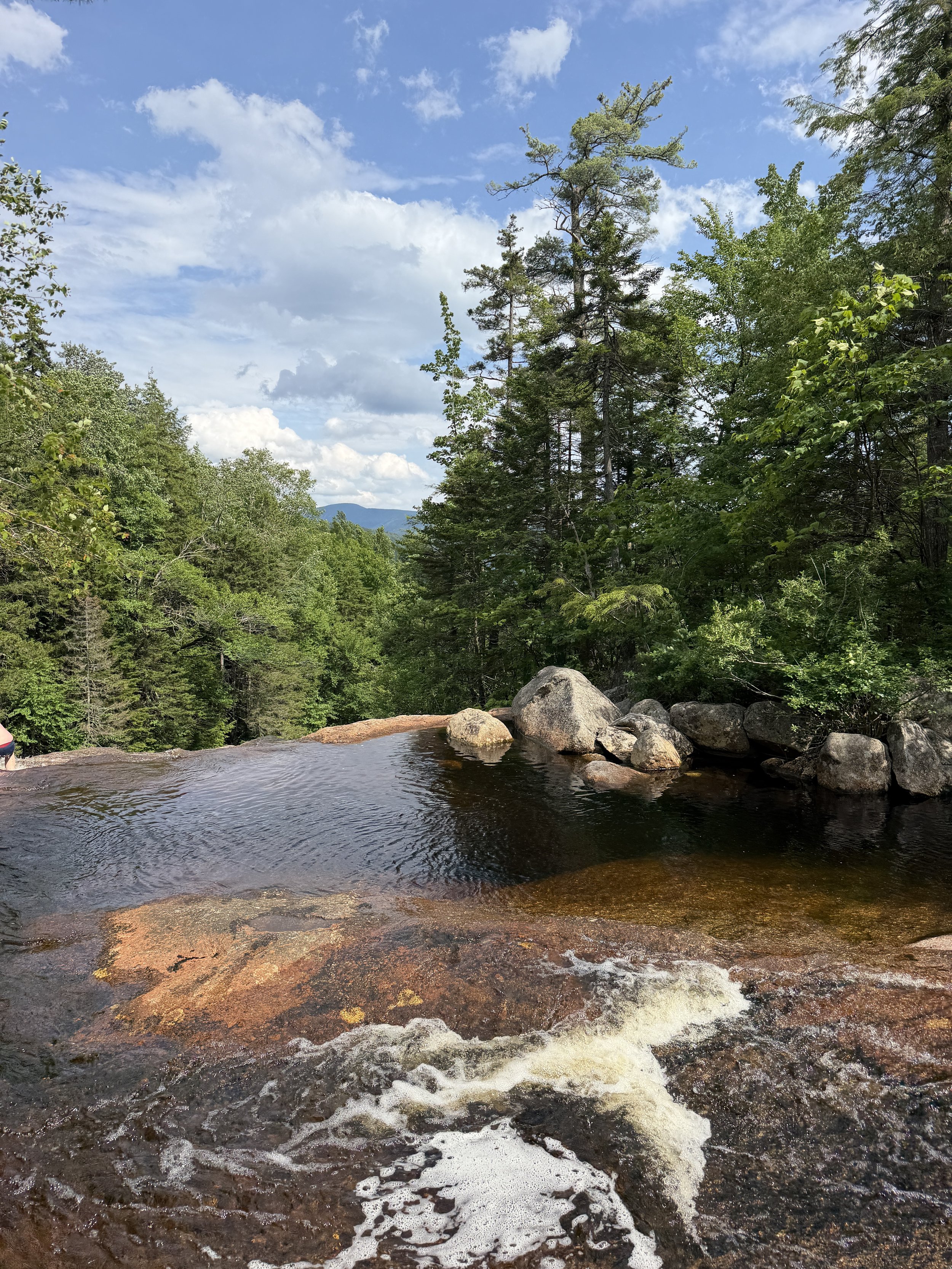
Around .8 miles you reach Georgiana Falls. Which are stunning.
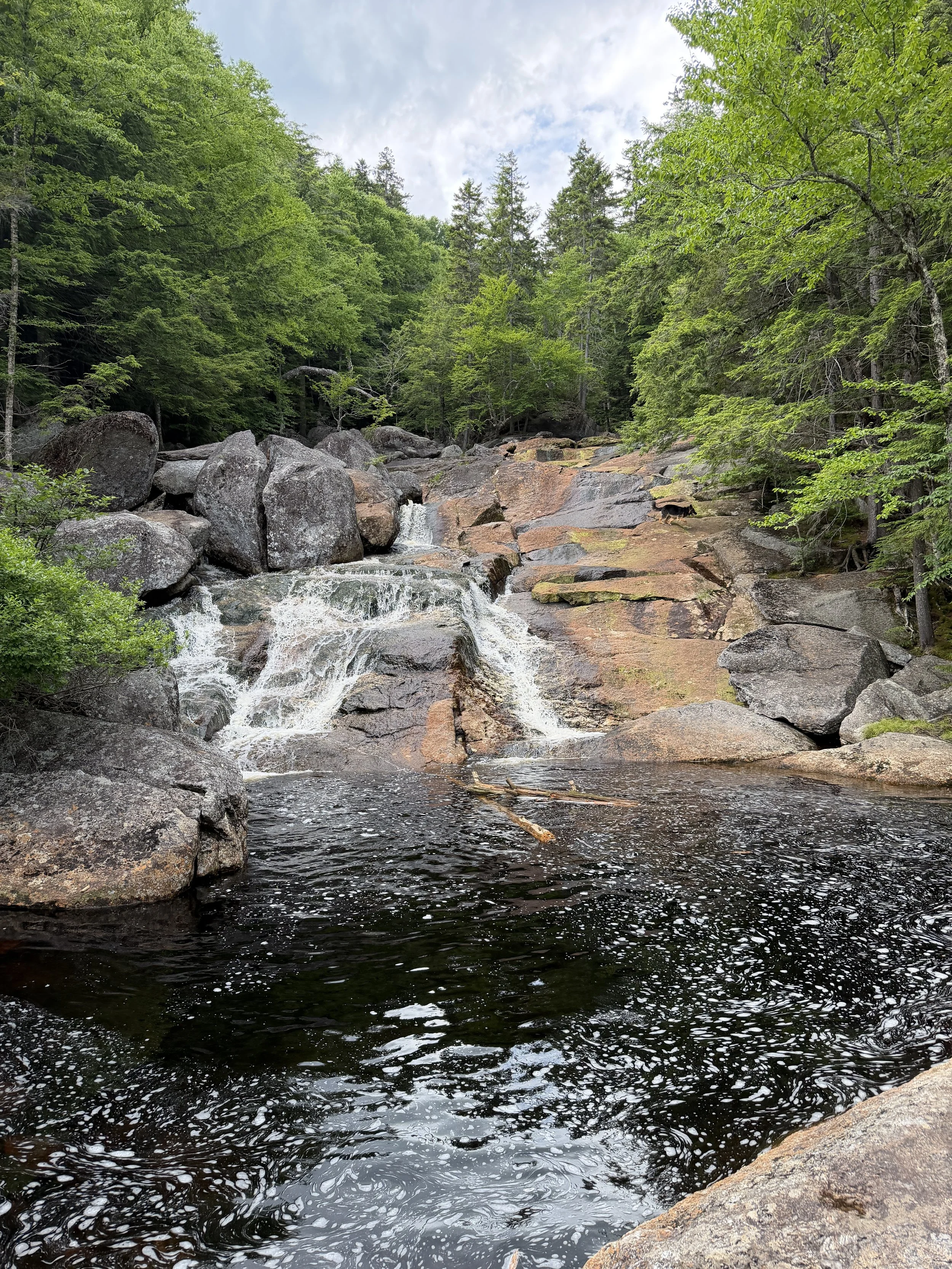
This is also a good spot to take a dip in the refreshing mountain water.
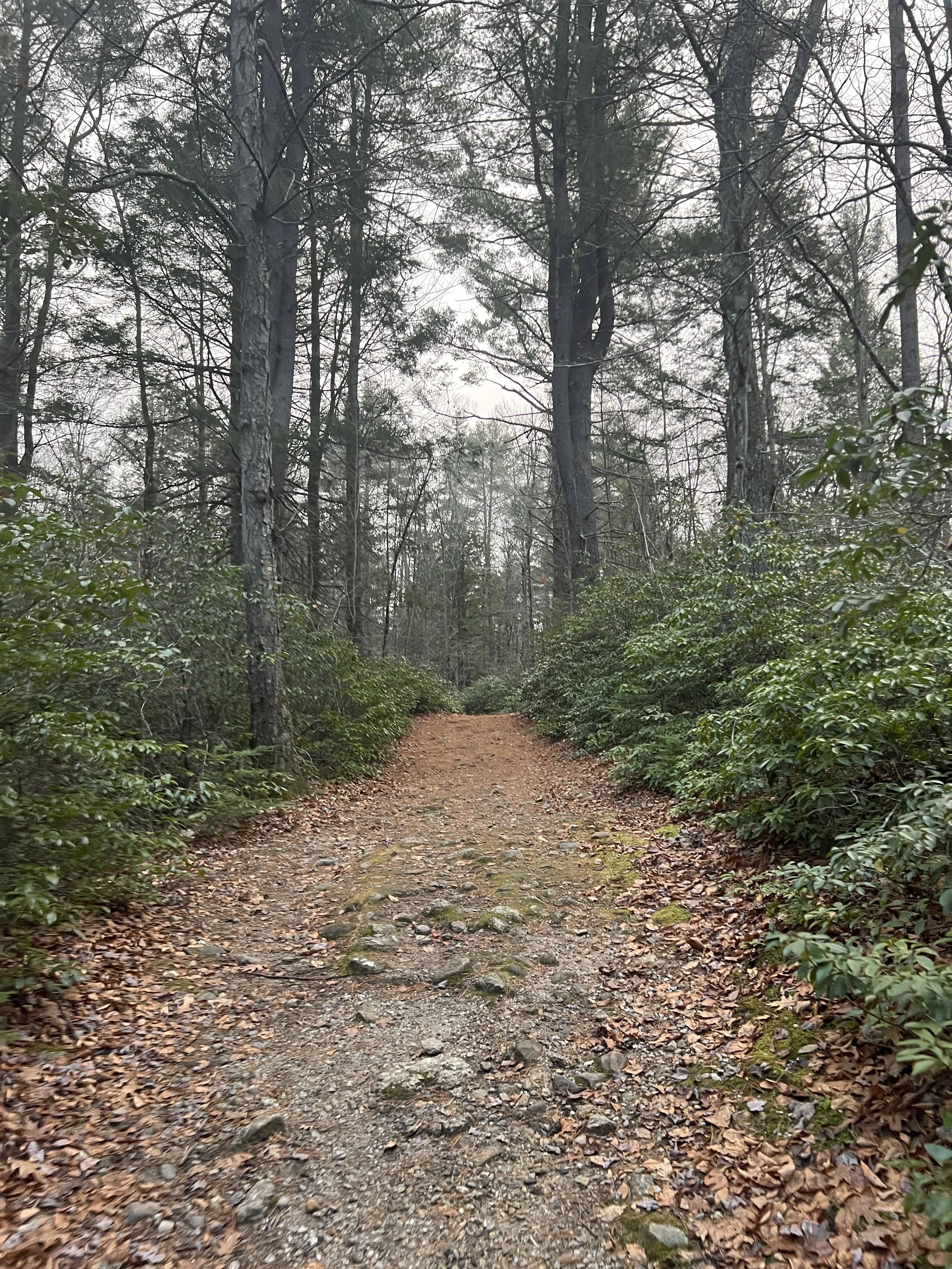
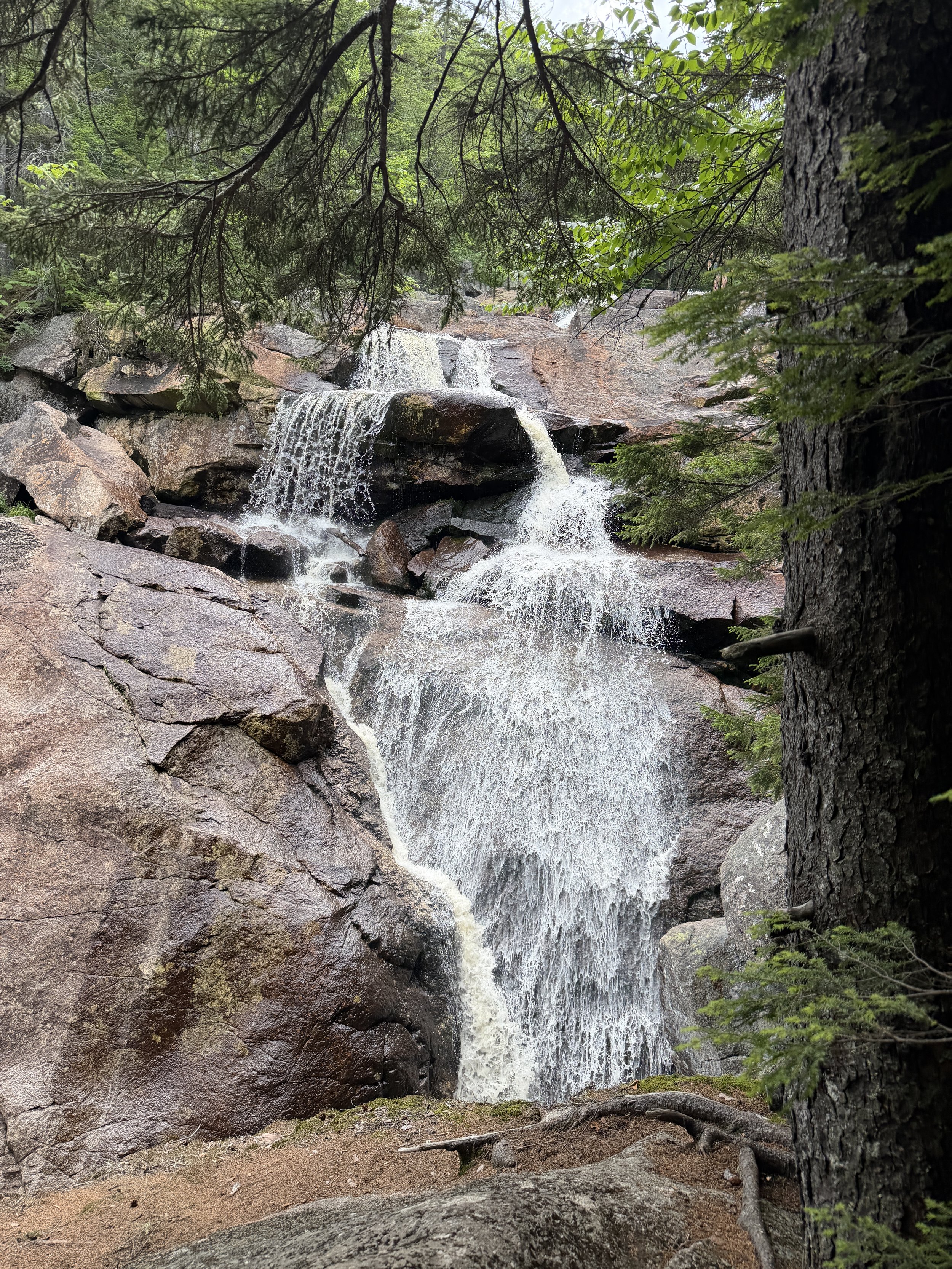
If you are able, I highly recommend hiking the .4 miles up to Harvard Falls. This hike is not well marked and very steep with rocks and roots. It was not an easy climb, but so worth it. Harvard Falls is gorgeous.
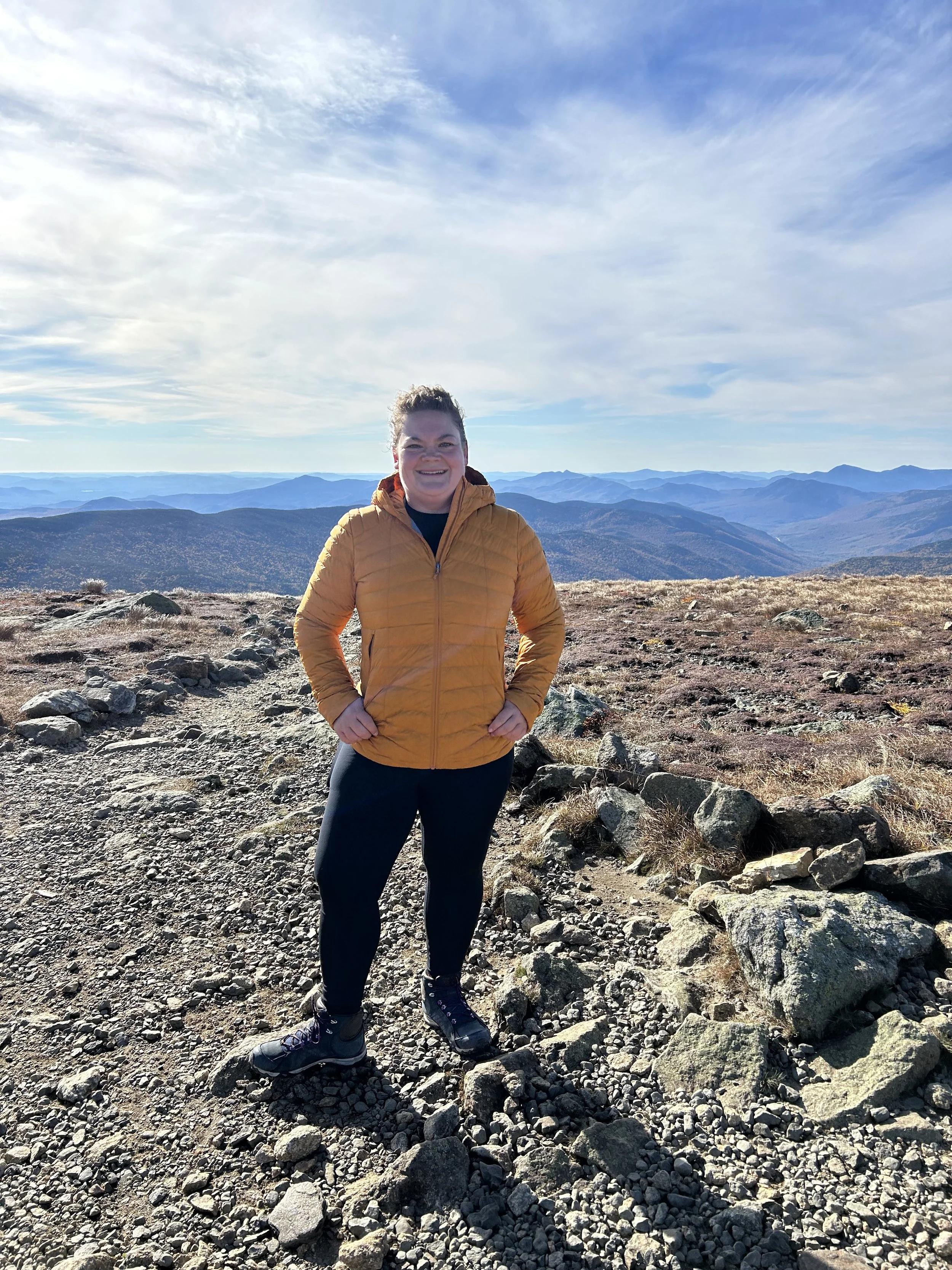
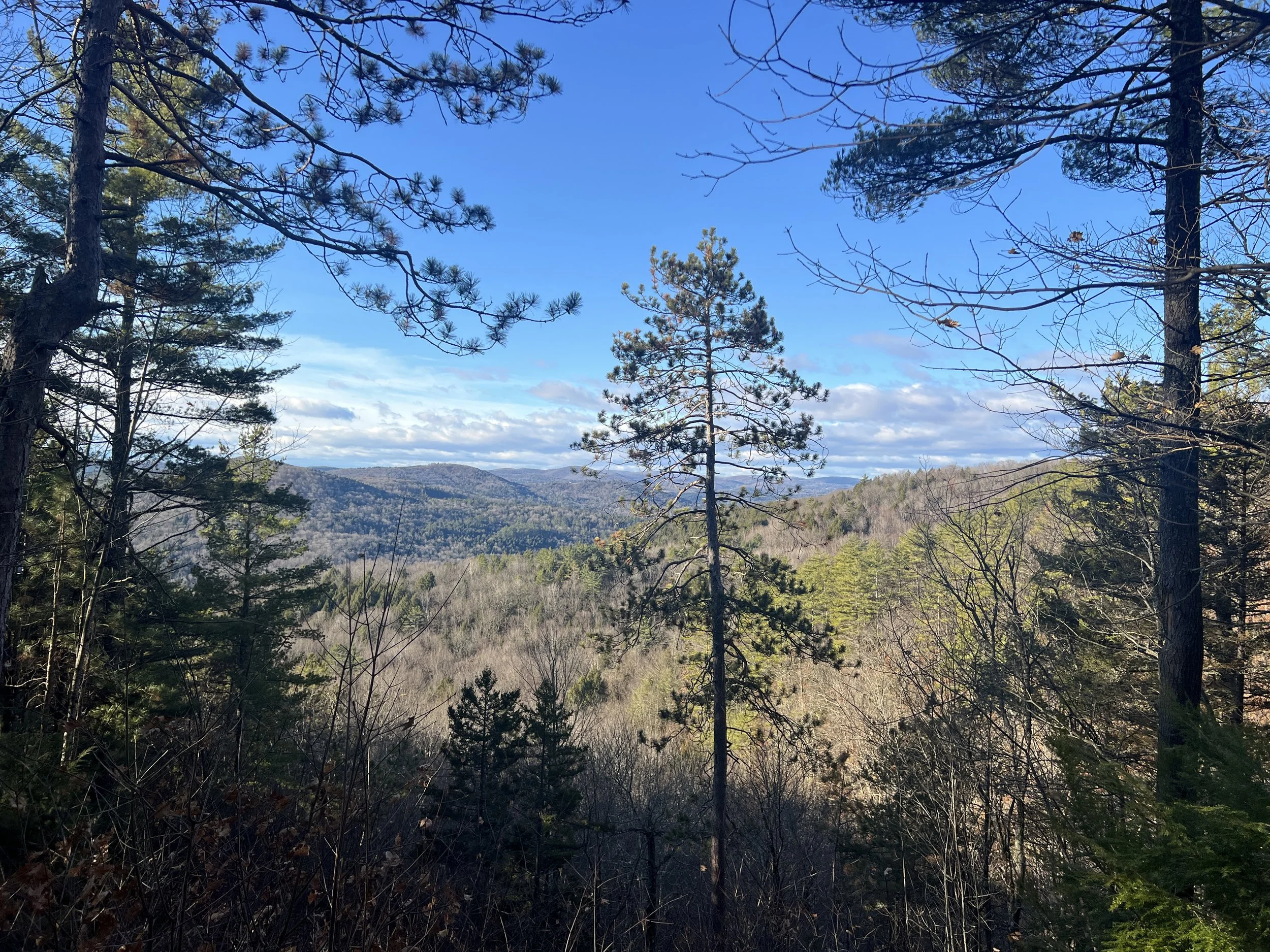
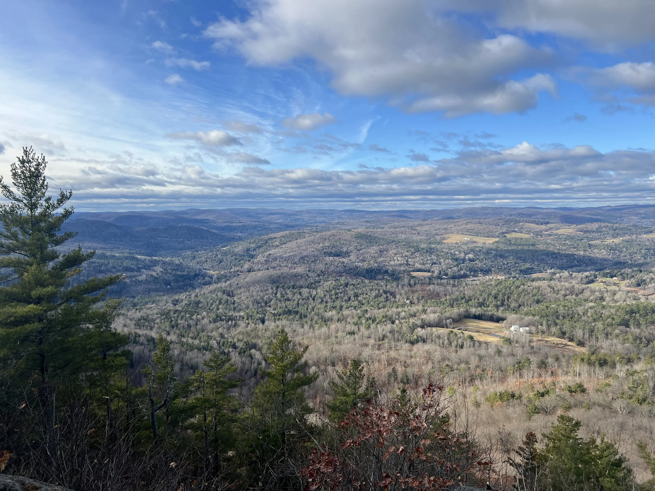
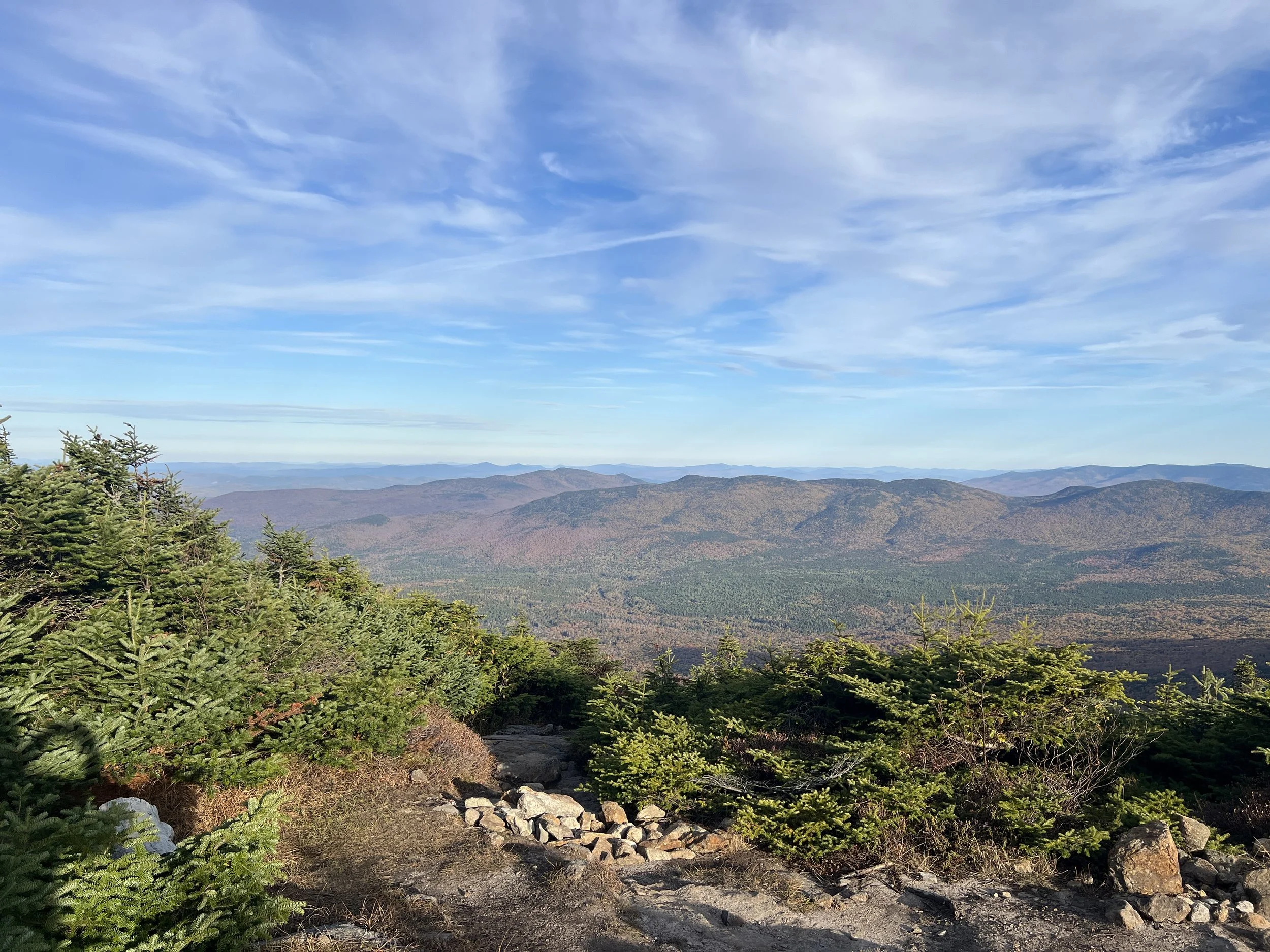
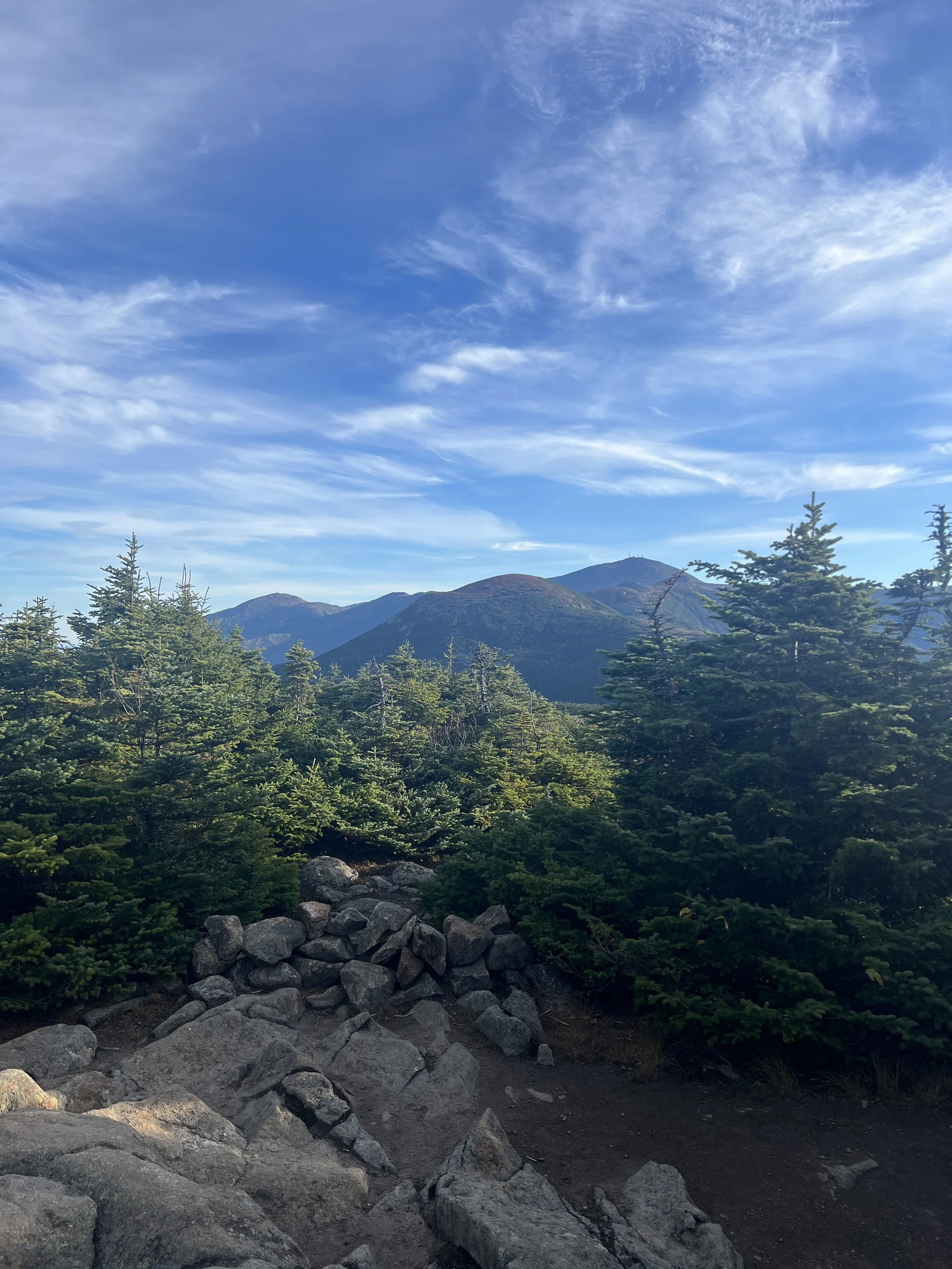
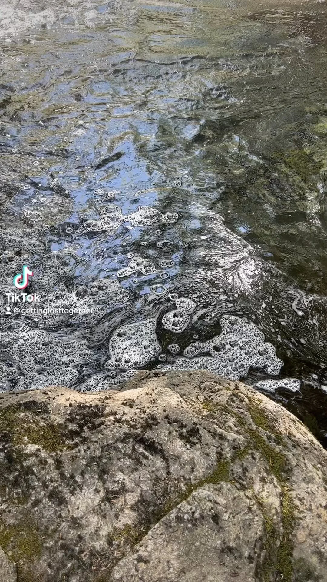
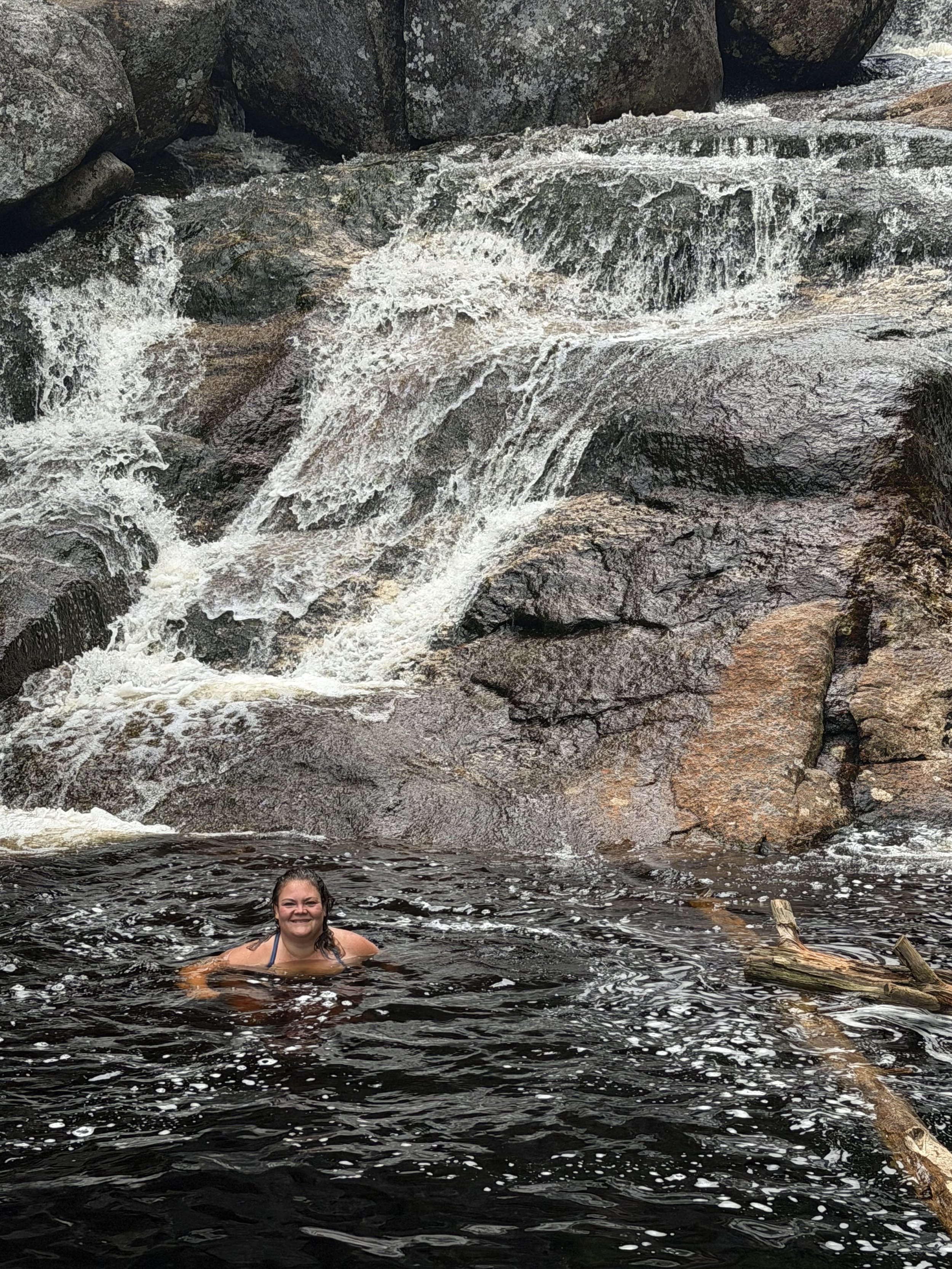
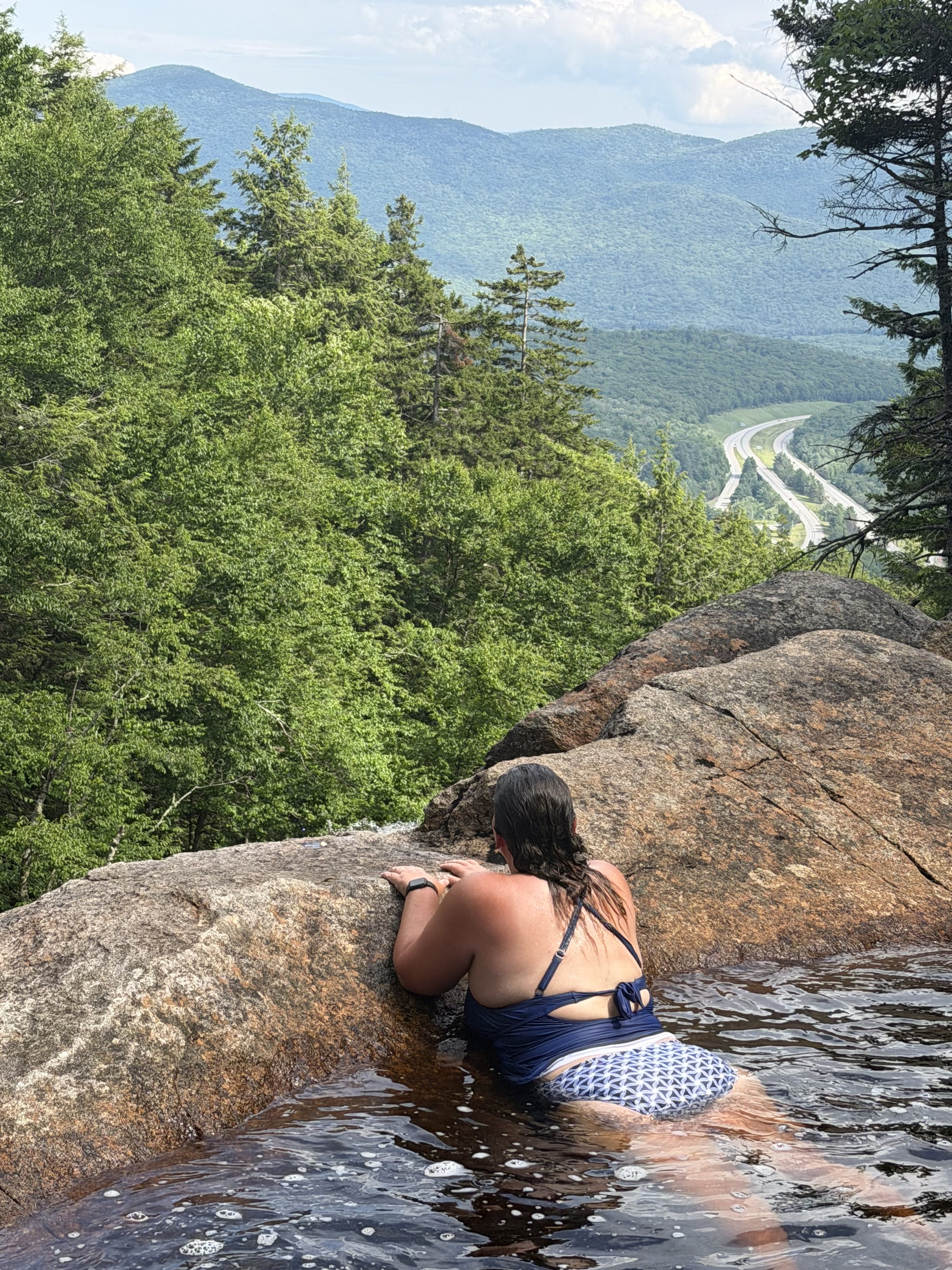
Continue the climb up the side of the falls to the top where there is an amazing swimming hole with some views of the White Mountains.
My husband and I spent over an hour enjoying this pool. Surprisingly it was not too cold.
It was a total of 1.2 miles up to this pool. I am not sure if the trail goes any further. We visited on the afternoon of July 4th and it was not too busy. My guess is it can be busy, especially the lower pools that are easier to get too.
Overall, I loved this hike. I love a good waterfall/swimming hole that is not easy to get too and this is a good one. I would say the hike is on the harder side of moderate. Since it is not well marked between the two falls you need to know how to navigate the trail. We also found little to no cell phone service on this trail. The hike was a total of 2.4 miles. I did wish I had my small microfiber towel on us for a quick dry off.
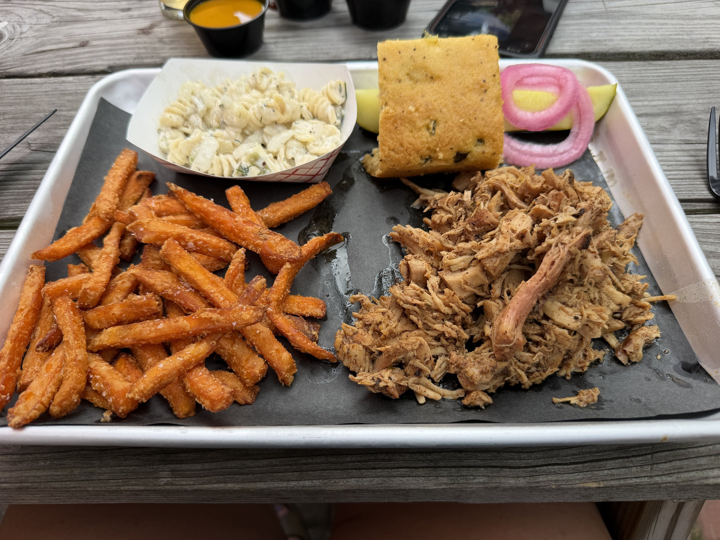
After the hike and swim we had dinner at Twin Barns Brewing in Lincoln for some delicious barbecue.
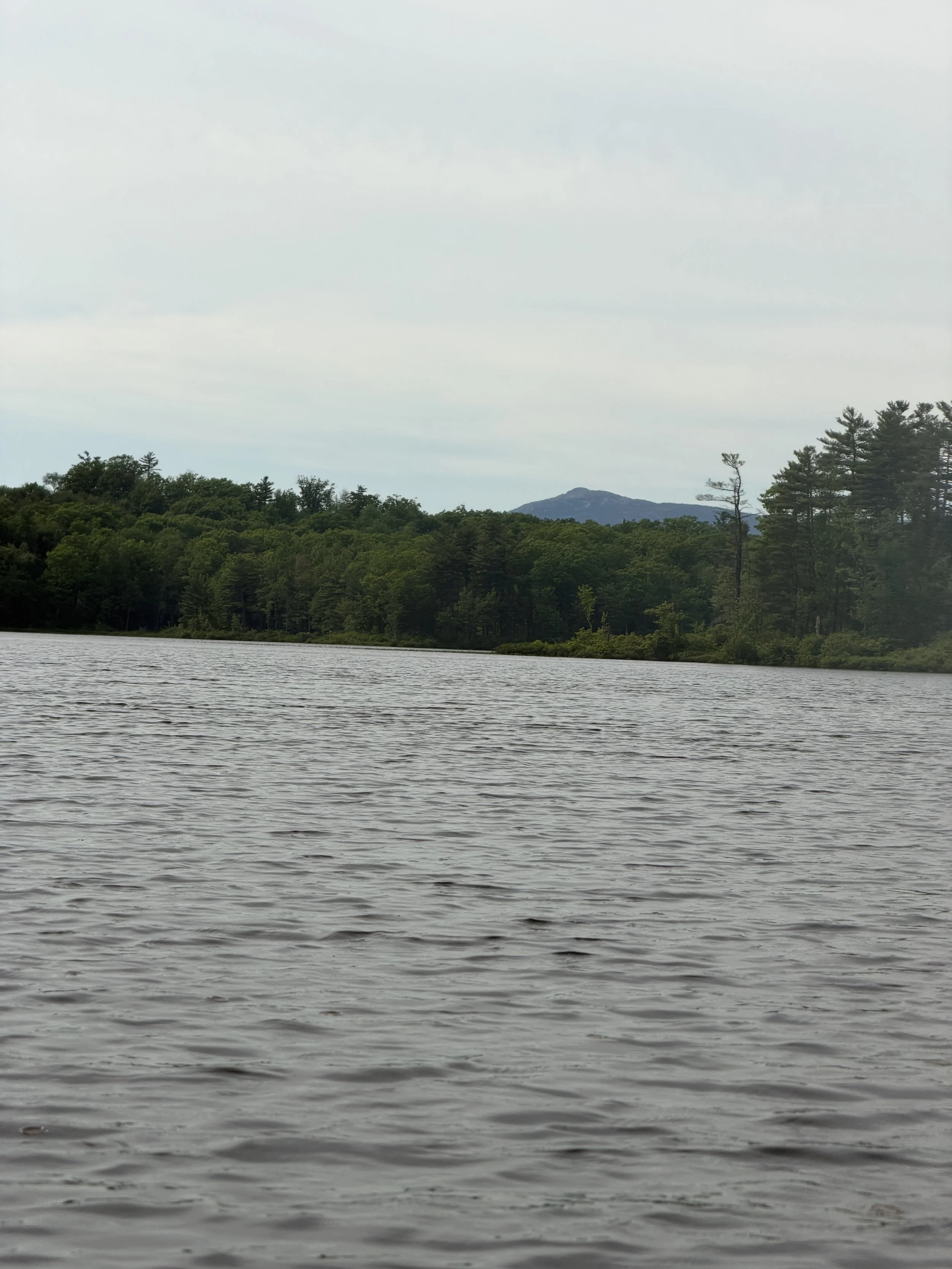
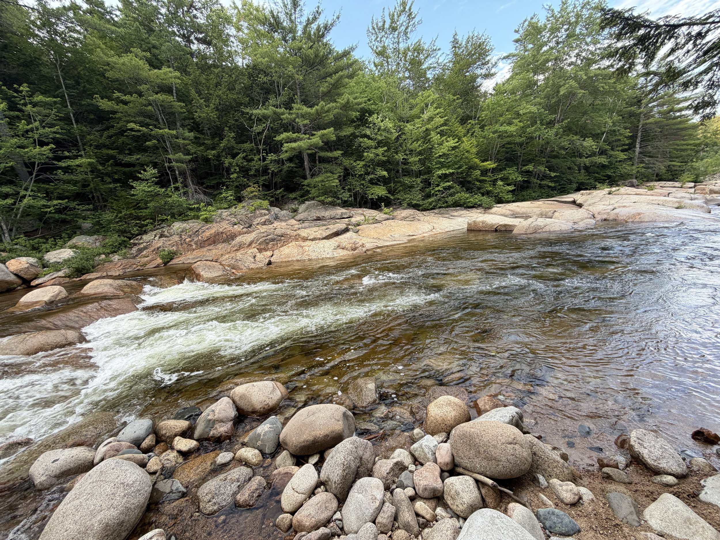
After dinner we took a drive along the Kancamagus Highway and took a dip in the Swift River, which was surprisingly colder than the falls.
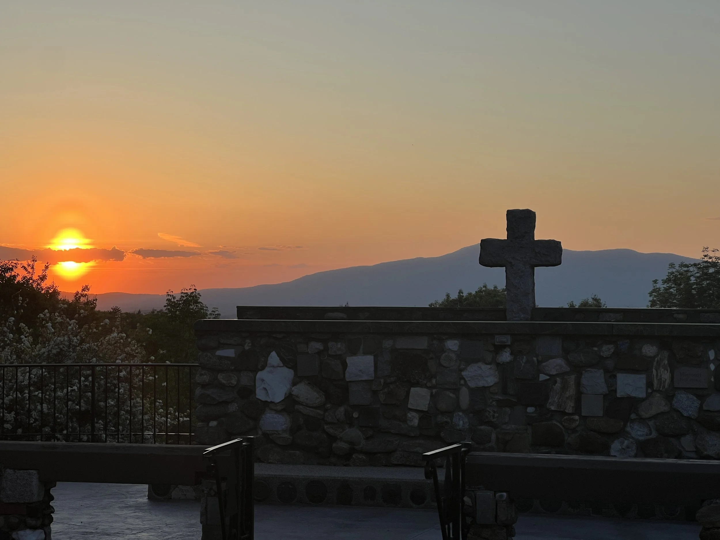
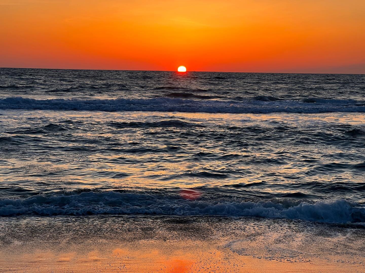
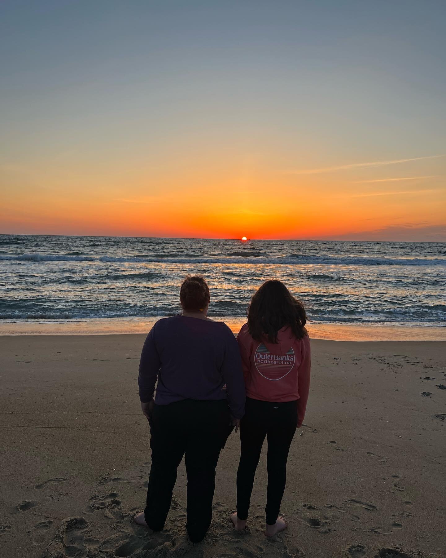
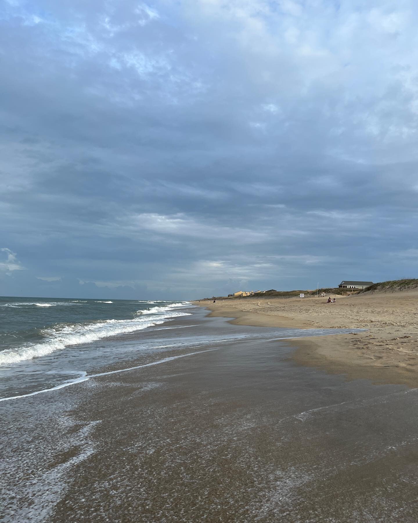
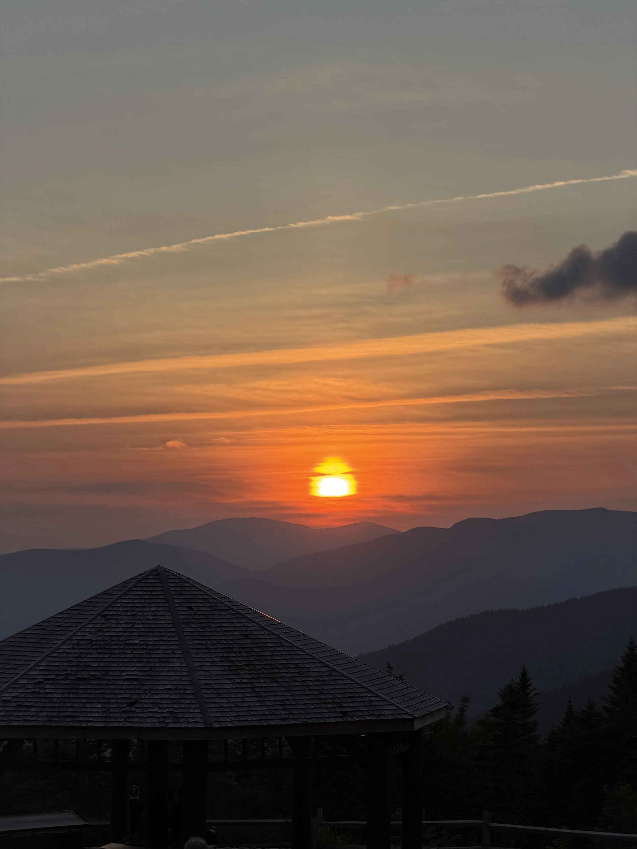
We ended the day with a breathtaking sunset.
Overall, it was a spectacular day trip to Lincoln, New Hampshire.
This page contains affiliate links for which I may receive a small amount of compensation at no cost to you.