Distance: A Variety of Distances
Difficulty: Moderate
Mt. Watatic in Ashburnham, MA is a very popular hike. It is not uncommon to see several people while hiking. We wanted to hike Mt. Watatic, but wanted to try a less popular trail. We decided to take the back way up the mountain.
We parked at the end of Watatic Mountain Road. From Route 119 turn onto Pillsbury Road, then take a left onto Bennett Road and another left onto Watatic Mountain Road and parked at the end. Their are some private properties to make sure you park in an appropriate place.
There are several trails you can take to go up the backside, most of them are old downhill ski trails that eventually lead to the summit. It's a little over a mile to the top and the trail is fairly steep, but it is nice because not a lot of people go this way.
Unfortunately the day we hiked we didn't get much of a view because of the clouds coming it, but it was still a nice hike.
On clear days you can see toward Boston and the north part of the Wapack Trail.
We have since done the Watatic Summit Trail, where the trailhead is located off Route 119, to the Nutting Hill Trail. This is a 3.2 mile loop trail. From the trailhead it is a little over a mile from the parking lot up to the summit and from there you can follow the signs for the Nutting Hill Trail and then back to the parking lot.
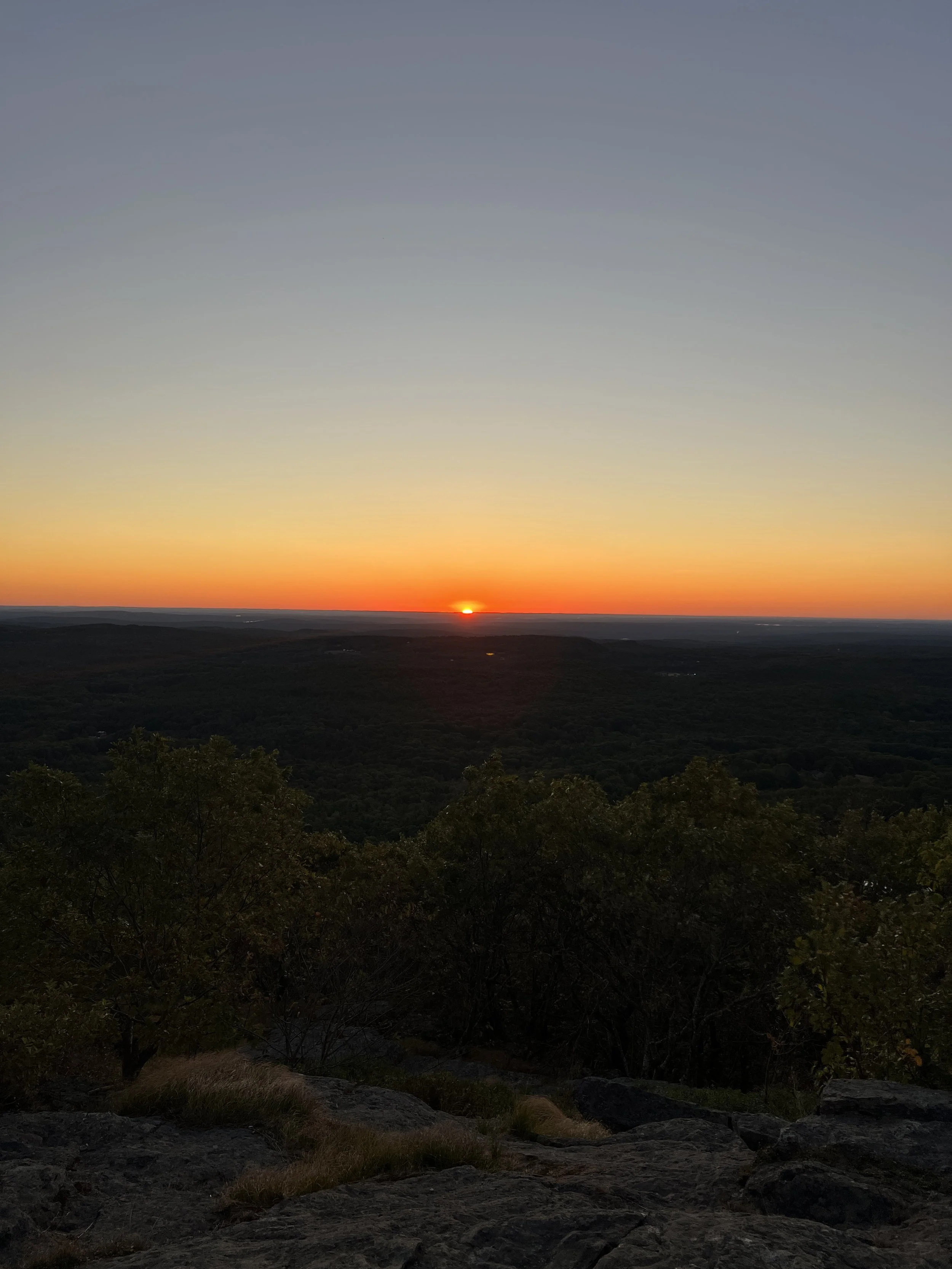
Watatic is also a great spot to watch the sunrise. There can be several people on top enjoying the beautiful views of the sunrise.


