Distance 1.8 Roundtrip
Difficulty Easy side of moderate, steady incline
Trail is not marked well and can be difficult to navigate.
Located on Luke Road in Ashby, Massachusetts is a short hiking trail that’s packs a lot of punch. It was a Friday afternoon and I needed some time in the woods and wanted an easy hike. After consulting AllTrails I decided to check out Blood Hill as I had near heard of it and it looked fairly easy with a view.
At the end of Luke Road is a small sign marking the conservation area with a small parking lot.
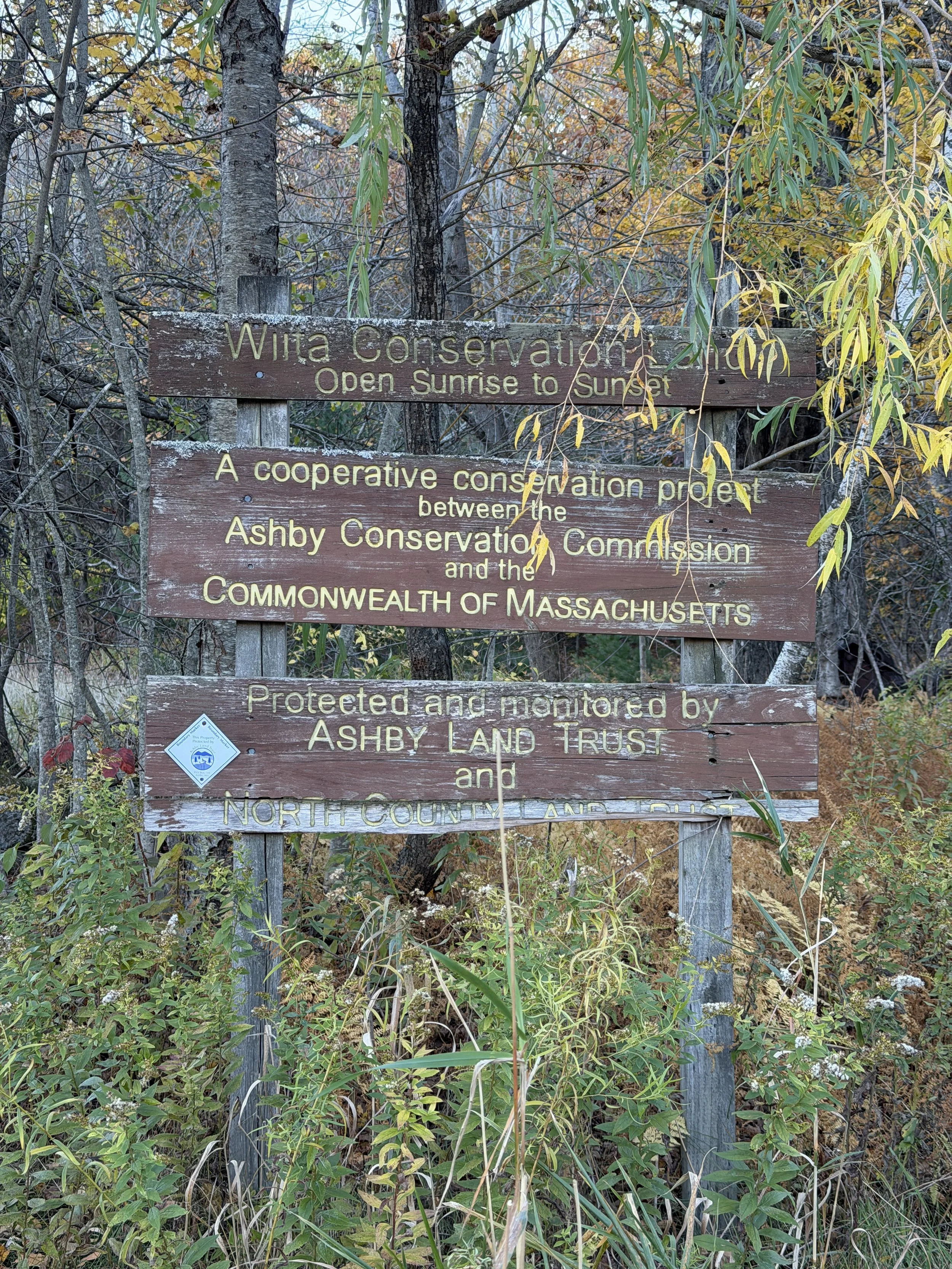
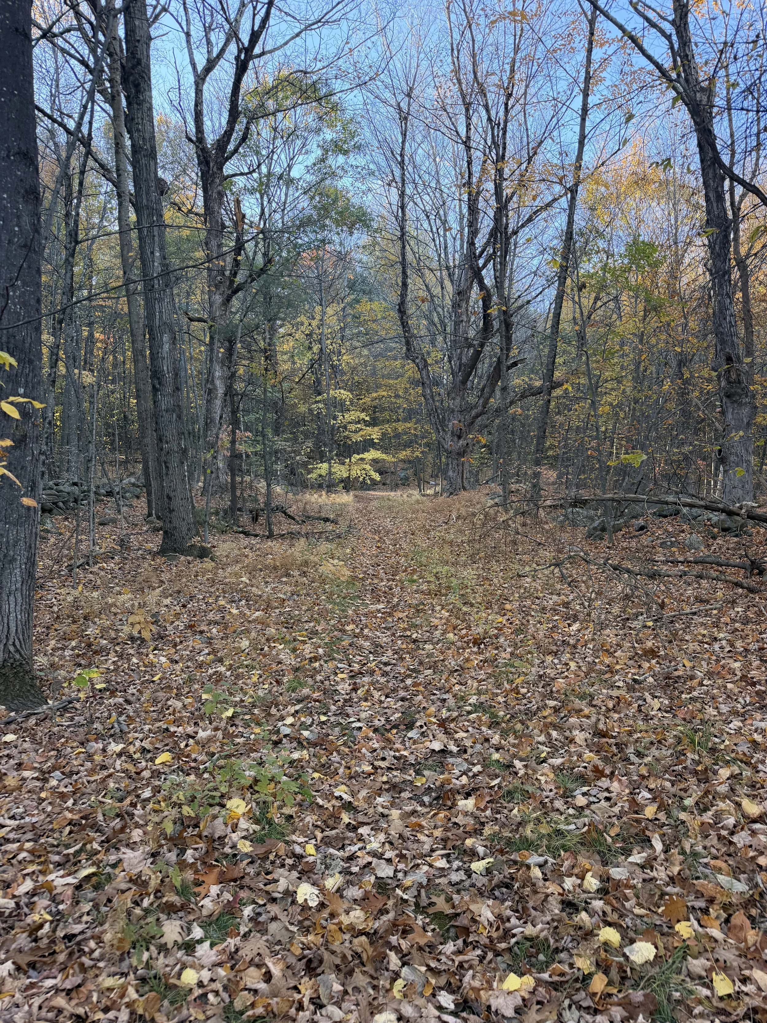
The trail follows what appears to be an old farm road.
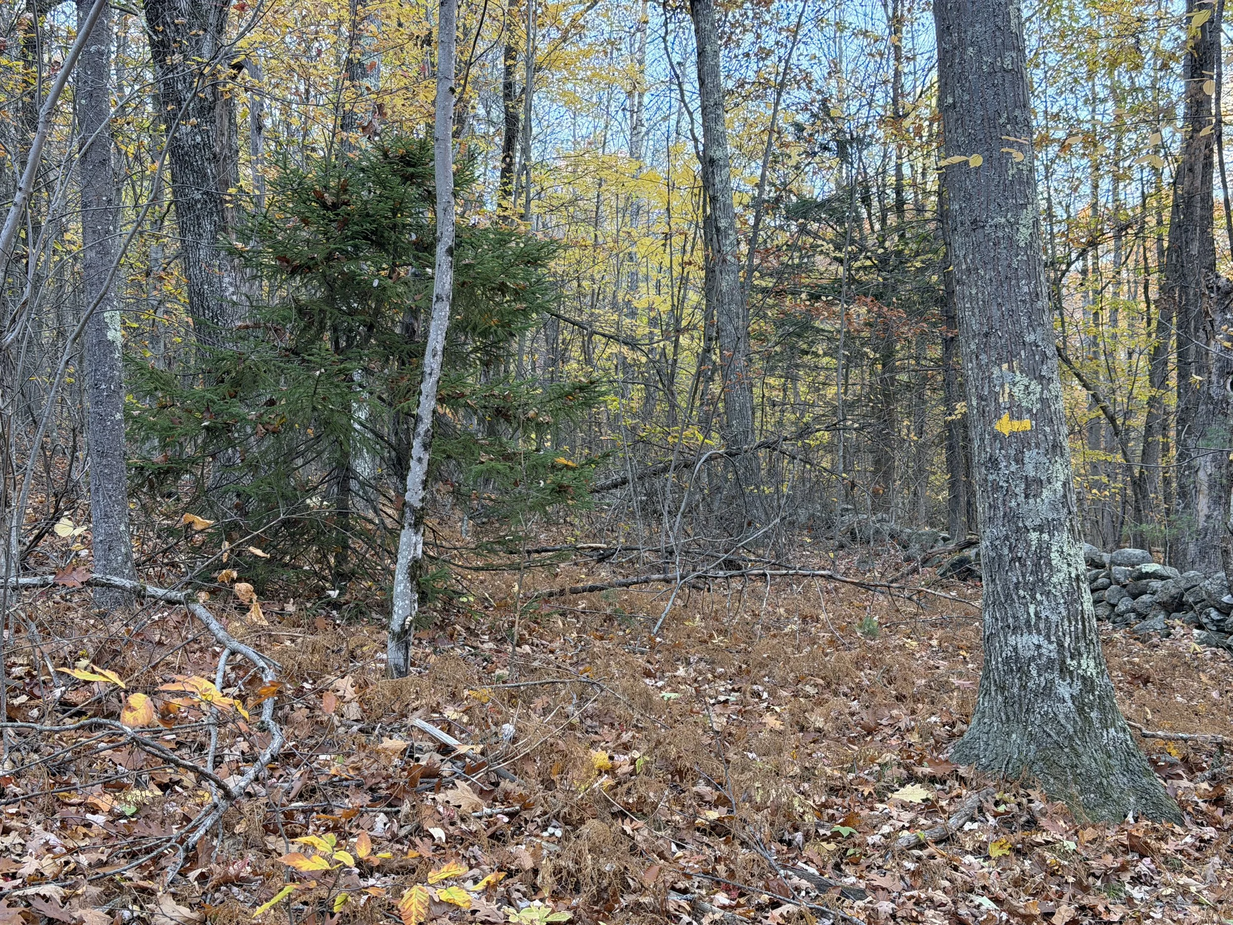
We did not see any trail markers, yellow triangles and arrows, until about halfway through the hike. Then they were sparse. Making this trail a little difficult to navigate.
This trail was far from an easy walk in the woods. The hike was a steady incline getting steeper towards the summit. In a little less than a mile we gained around 500 feet of elevation. The views from the top were beautiful.
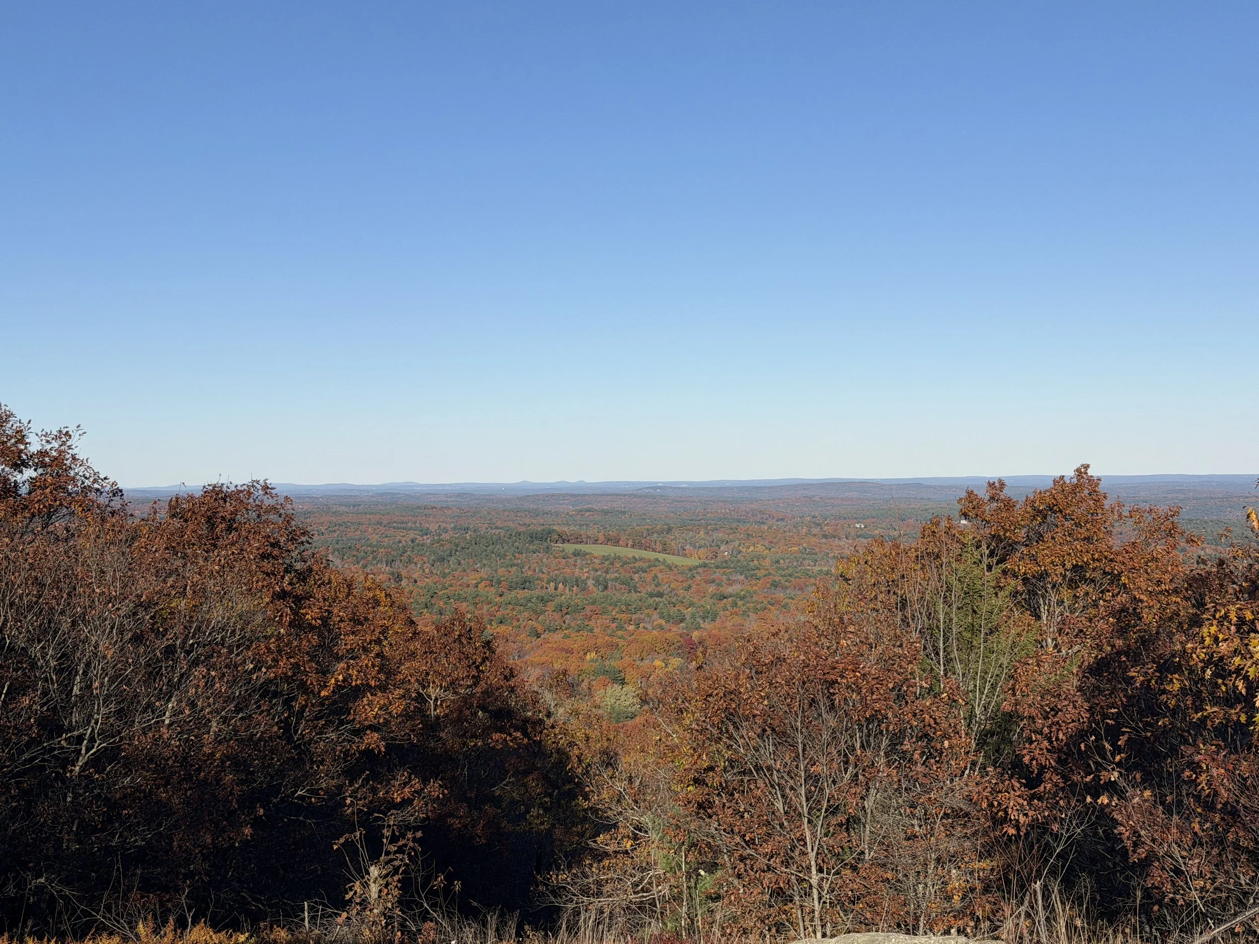
We were able to see Pack Monadnock and North Pack Monadnock, along with views to the east. With it being a little less than a mile to the top it was a great workout with some rewarding views. Since the trail not well marked I would not recommend this trail to those not comfortable navigating around in the woods.