Kidder Mountain

Distance: 2.8 Miles Roundtrip

Difficulty: Easy side of moderate

Located on Rt 123/124 across from the old Windblown Ski area is the trailhead to Kidder Mountain located off the Wapack Trail.  In the last couple years they have created a new parking lot, with a Wapack sign. You can no longer park off of Old Rindge Road.  

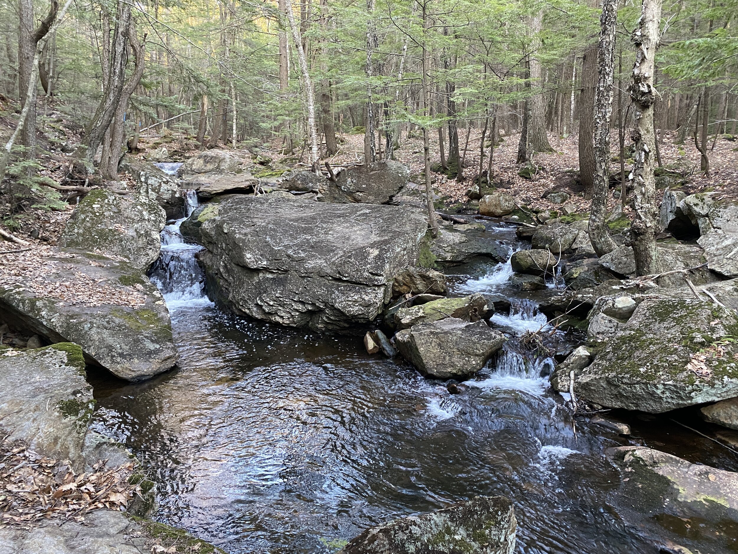
From the parking lot follow the yellow triangles. You will come to a intersection in the trail that connects to the old trail. Take a left to head towardsthe powers lines. Once at the power line, instead of continuing straight towards Sharon Ledges take a right and walk up the power line road until you see a small sign on the left for Kidder Mountain.  

Sign

This trail is s stead incline with some rocks and glimpses of Mt. Monadnock to your left. You will walk by two large flower pots that were supposedly brought up there for a wedding. In the warmer months I have seen flowers in the pots. From the pots, it is a short distance to the top.

My dog loves the trail too

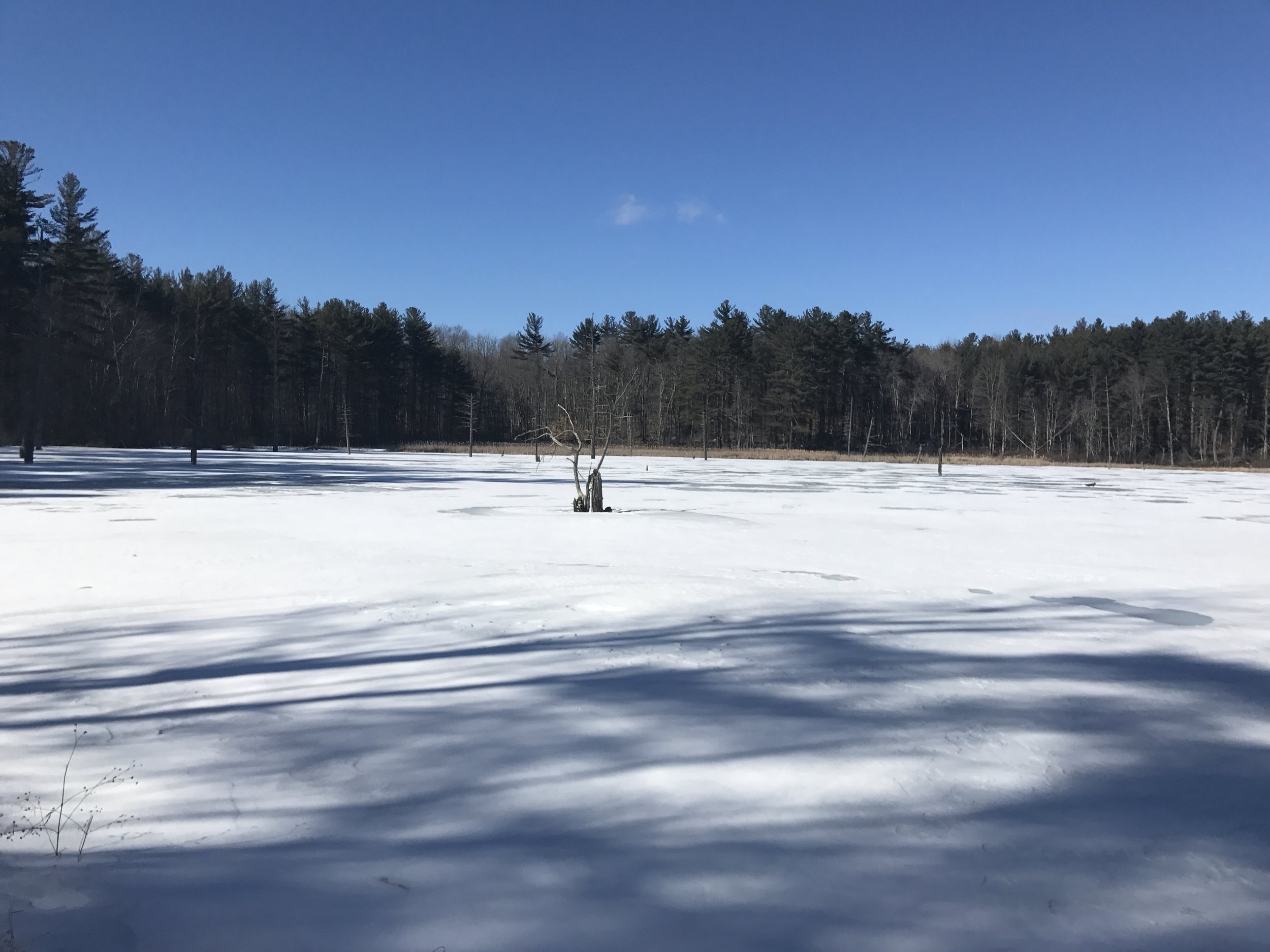
The total distance is a 1.4 miles. We love this hike because this is the first mountain my daughter hiked on her own, days before her second birthday, it's close to our home and provides a great view.  The views from the top are beautiful you can see Wachusett Ski area, Mt Watatic, Mount Monadnock and the mountains of the Wapack Trail. On a clear day you can see the sky line of Boston.

Looking towards Mt. Watatic in MA

This is also a great hike to see the sunrise and the sunset.

This trail is recommended for those who can do some incline hiking.

Tucker Brook Falls

Distance: 1 Mile loop

Difficulty: Easy

Tucker Brook Falls is a hidden gem located in Milford, New Hampshire. The waterfall is located in Tucker Brook Town Forest. The trailhead is on Savage Road. There is a small parking lot under the power lines.

There are two options for this waterfall. You can walk a mile loop that ends at the waterfall. Or you can walk about a quarter of a mile to the waterfall. There is a trail map as there are other connecting trails.

I enjoy doing the Falls Loop trail. From the parking lot you head up along the power lines and through the woods. They have been doing some forestry work near the trail.

The trail then follows Tucker Brook until you reach Tucker Brook Falls.

Jw9qv5pkThmmWLxWavSsNQ.jpg

From the falls you walk along the brook and bare right up a steep hill back to the parking lot.

For this falls being in Milford, I am quite impressed with Tucker Brook Falls.  If you are looking to enjoy a little peace and quiet in front of a waterfall without having to drive to north, I highly recommend this little waterfall wonder in Milford.


Casalis State Forest

Distance: 2.5-3.5 Loop

Difficulty: Easy

Located on Route 123 in Peterborough is Casalis State Forest.   The trail starts past the gate. After descending from the parking lot you come to a beaver pond.  This is a great opportunity to catch a glimpse of some wildlife such as birds and beavers. We have also seen deer throughout the woods.  

Beaver Pond

After leaving the pond you start up slight incline to a junction the trail.

22B324F4-3544-4E06-8F09-4C7E04B09BDF.jpeg

If you go left this is a loop through the woods. About a half mile along the trail there is another split for the loop path. You can go can either way as this is where the loop starts and ends.

If you so straight you come to a stream. You can cross the stream and it connects to the Bass Brook Trail. Also right after you cross the stream you can bare left and follow the stream up to other trails. I am learning there are a lot of trails throughout these woods.

If you take a left before crossing the stream the trail follows the brook. If there is enough water there are some beautiful cascades.

8BB94321-C3E9-4FF8-98D4-A6BEBE8D68CE.jpeg

And signs of an old bridge.

82C79C64-1F64-46DA-BF8F-317996F4D89A.jpeg

Right after the bridge you walk up a slight hill and connect to the loop if you would have gone to the left. There is also a small wooden bridge that crosses the stream to connect with the trail that goes along the other side of the water.

To continue around the loop take a right. To head directly back to the trail junction take a left. If you continue around the loop there is a side trail to the right that goes to Condy Road in Peterborough. Continue baring left to finish the loop.

The trail is between two and half and three and a half miles long depending on which way you go. This trail is great for all seasons, hiking, snow shoeing and cross country skiing.  The trail is relatively flat with some small inclines. This is also a popular with mountain bikers. All ages and abilities recommended. As I continue to explore these trails I am learning there are a lot of trails to explore in these woods.