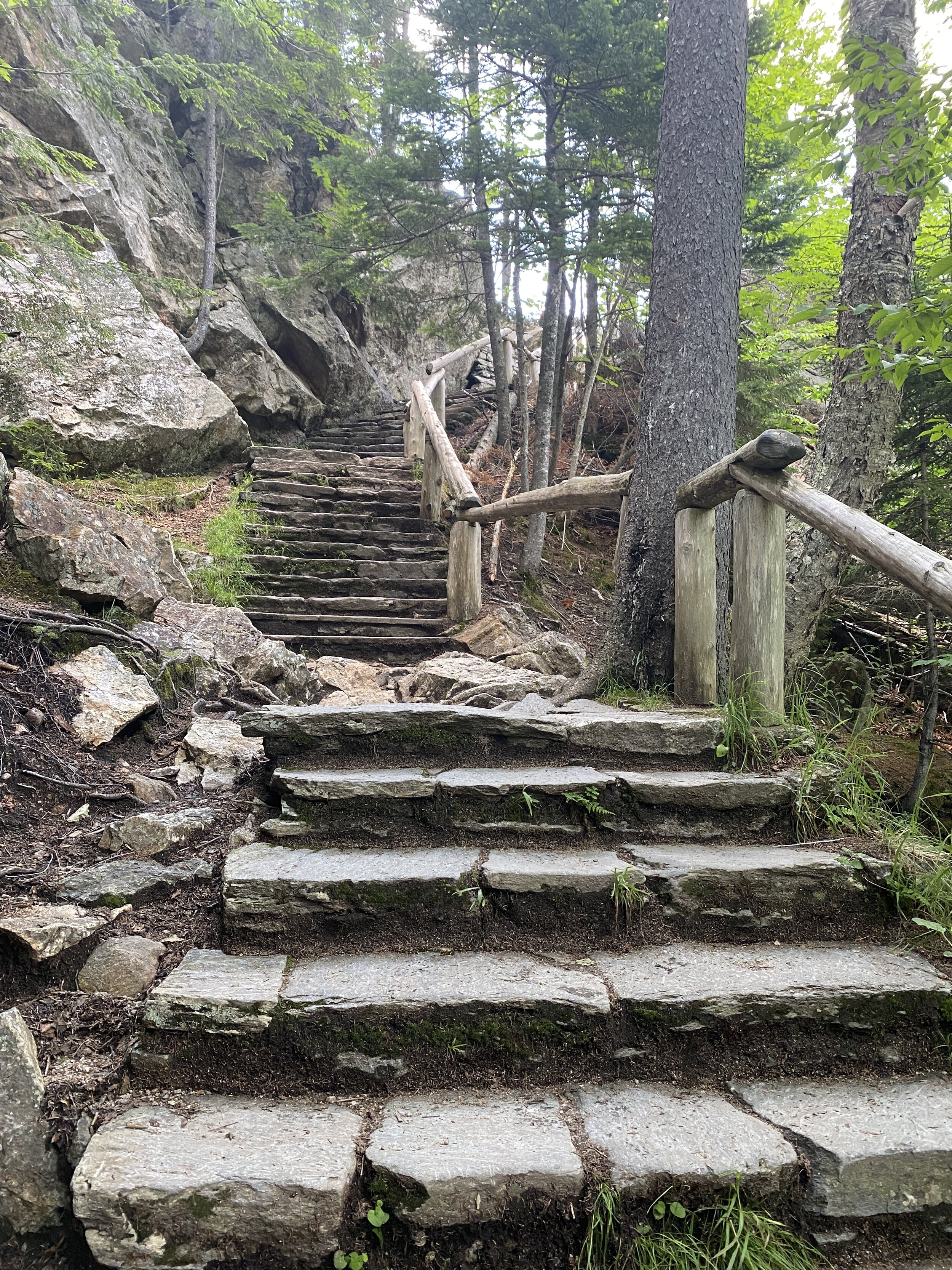
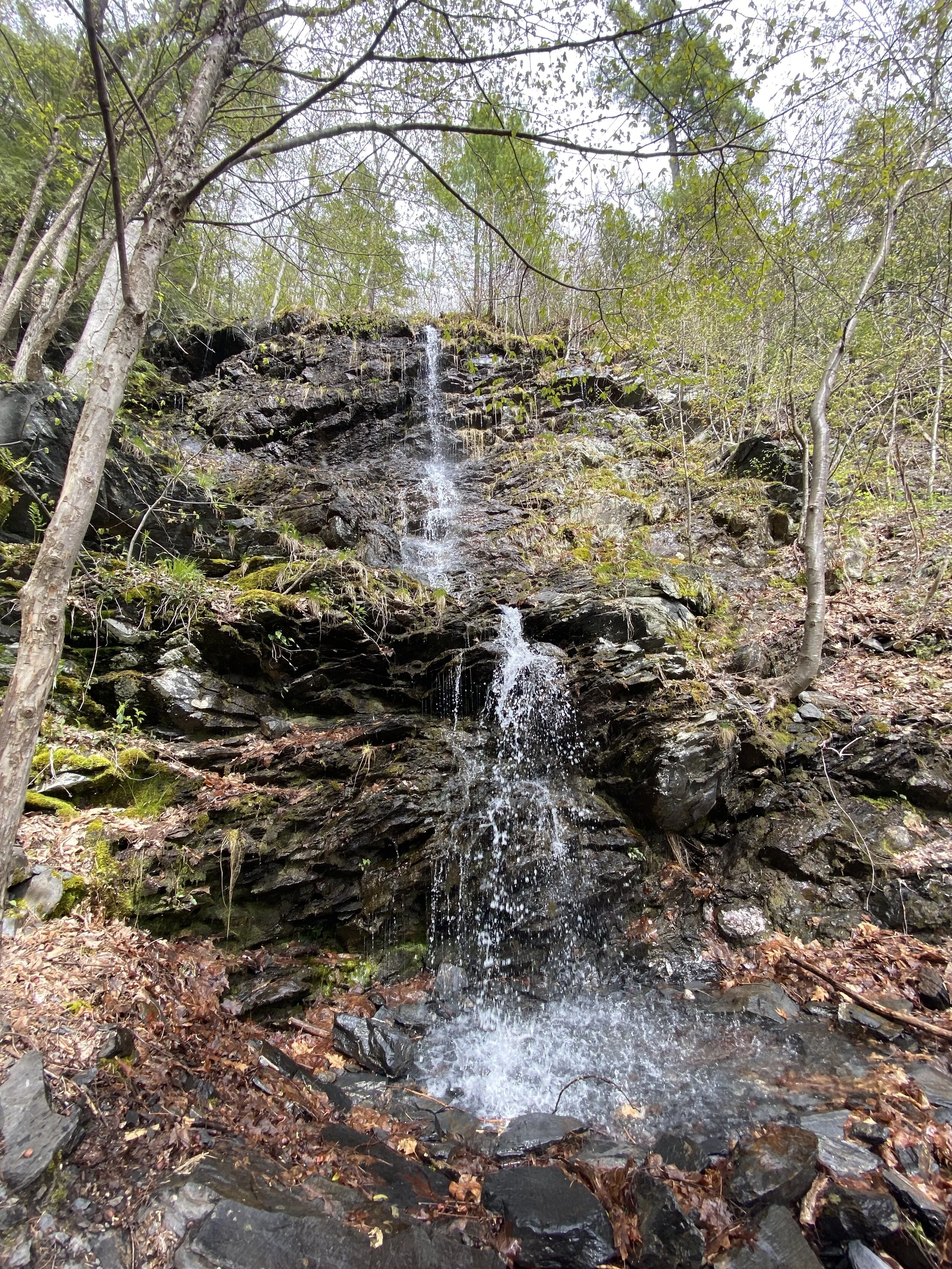
I love a good waterfall and swimming hole. The Upper and Lower Ammonoosuc Falls provide both. Located on Base Road off of Rt 302 in Twin Mountain is both of these falls. This is the same road that goes to the Cog Railway. They both have dirt pullouts to park and kiosks on the right hand side of the road. I cannot remember exactly how far up Base Road the falls are, but it is at least a couple miles.
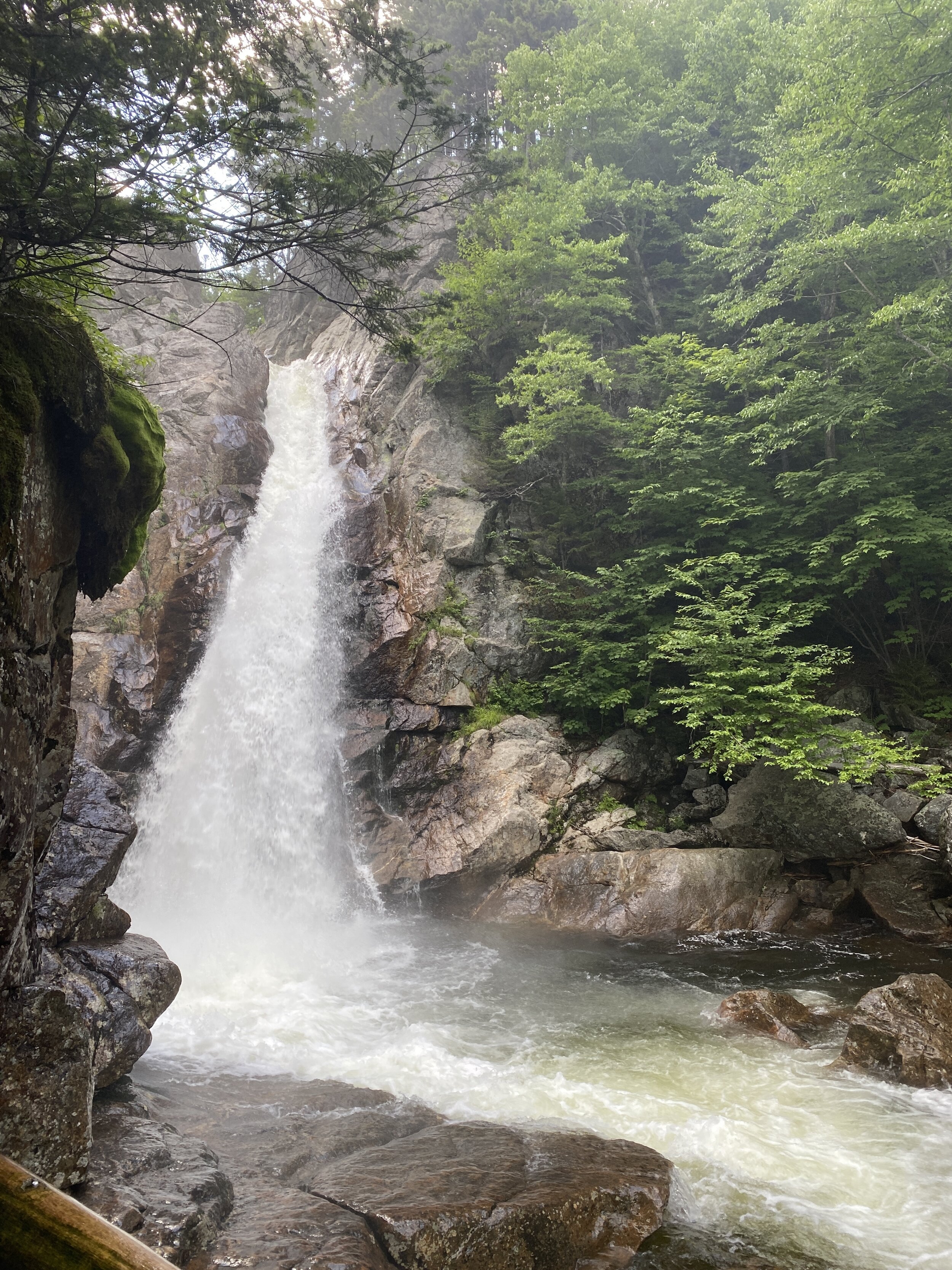
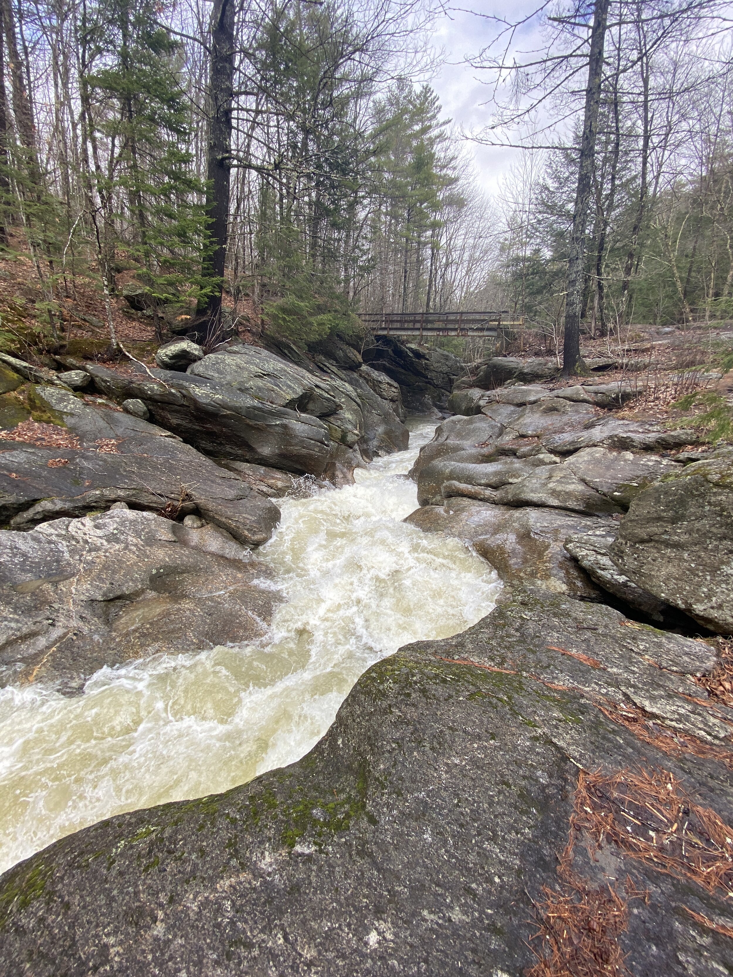
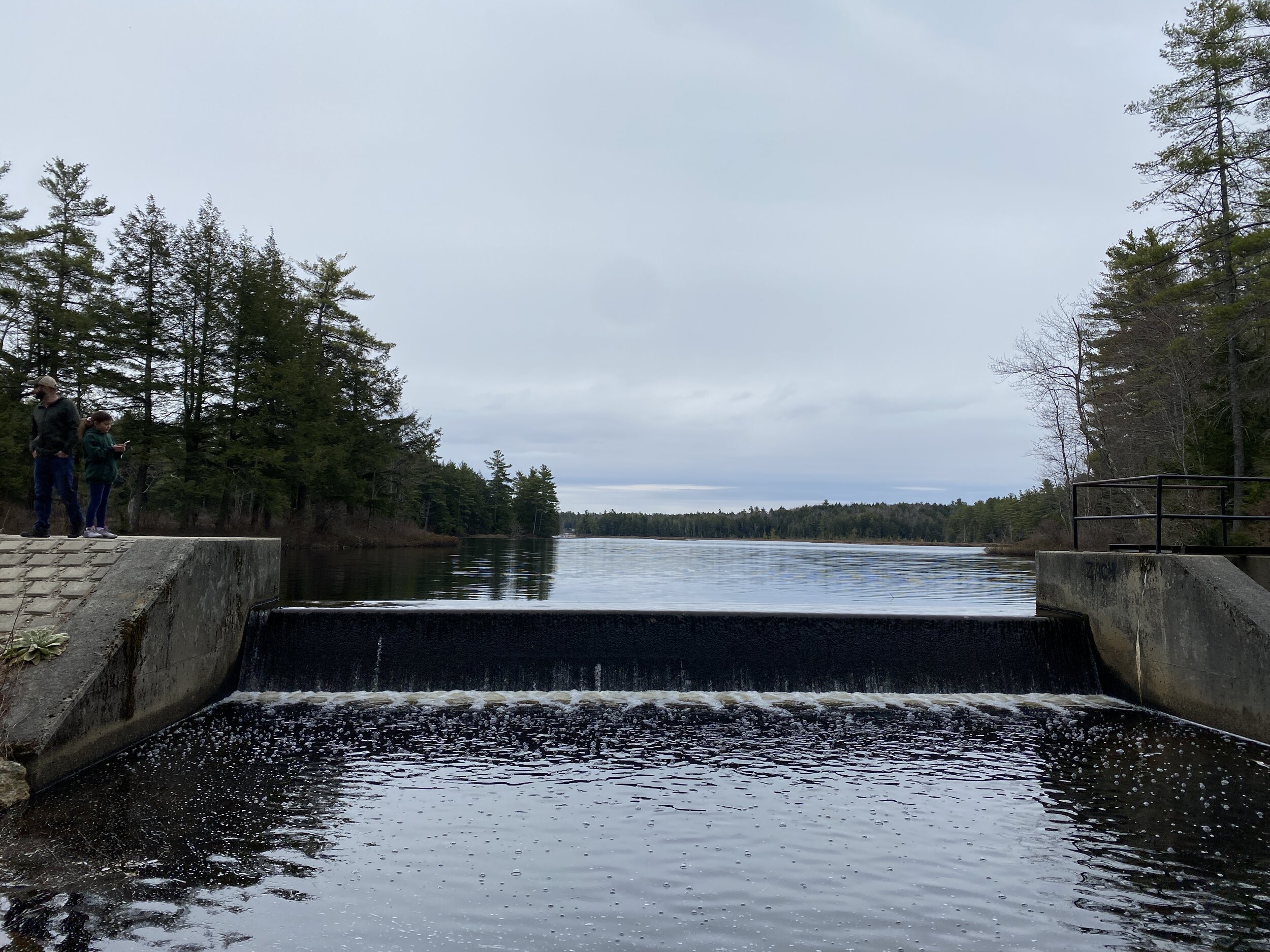
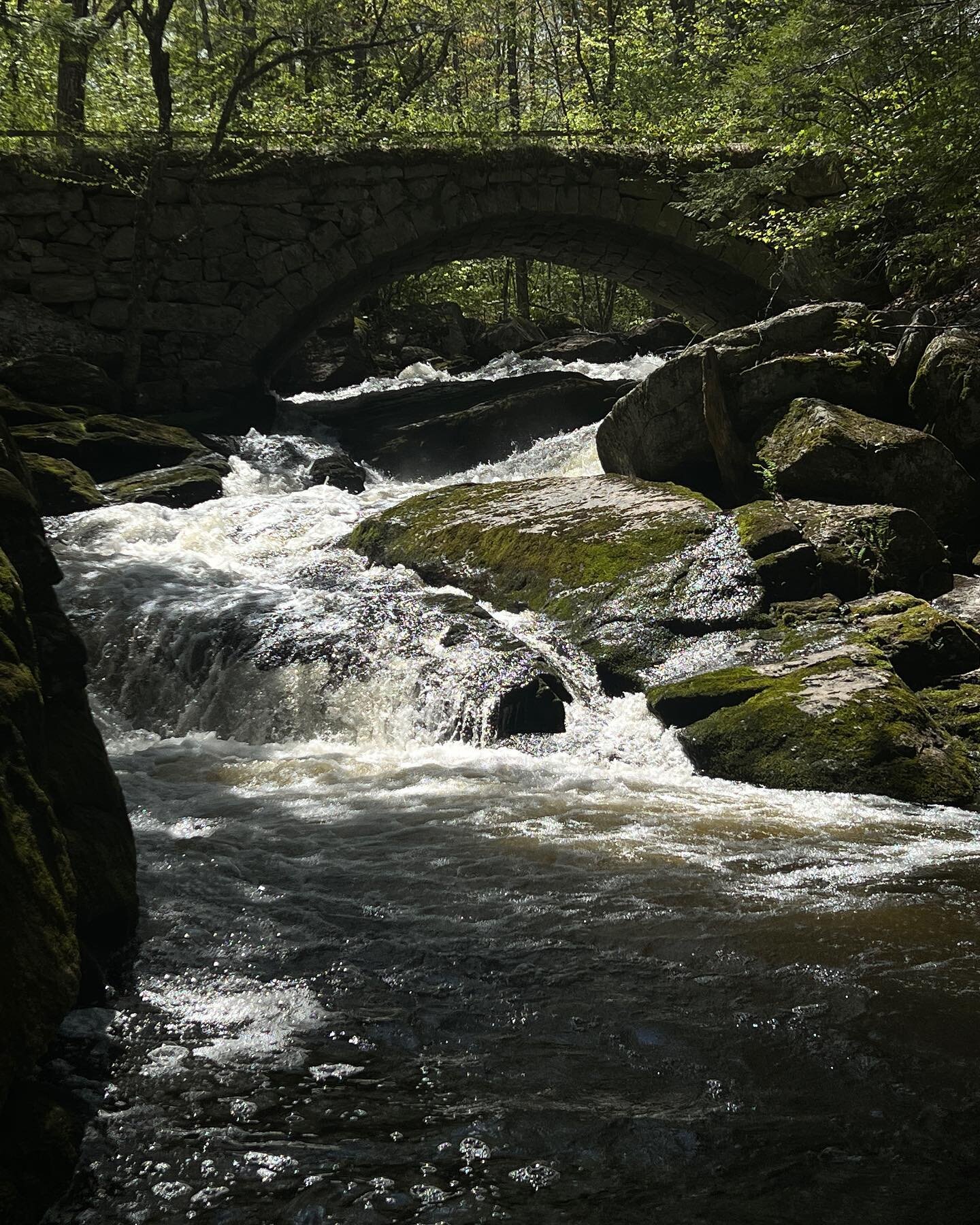
We first visited the Upper Falls. I had read in multiple blogs and websites that this area can very dangerous when the waters are high. The day we visited the current did not seem too strong as there were several pre-teens and teens jumping off tall rocks into the water. There is a bridge that goes over the falls. There is not a lot of room to sit and get into the water. If you visit this swimming area use caution and pay attention to the currents and water levels.

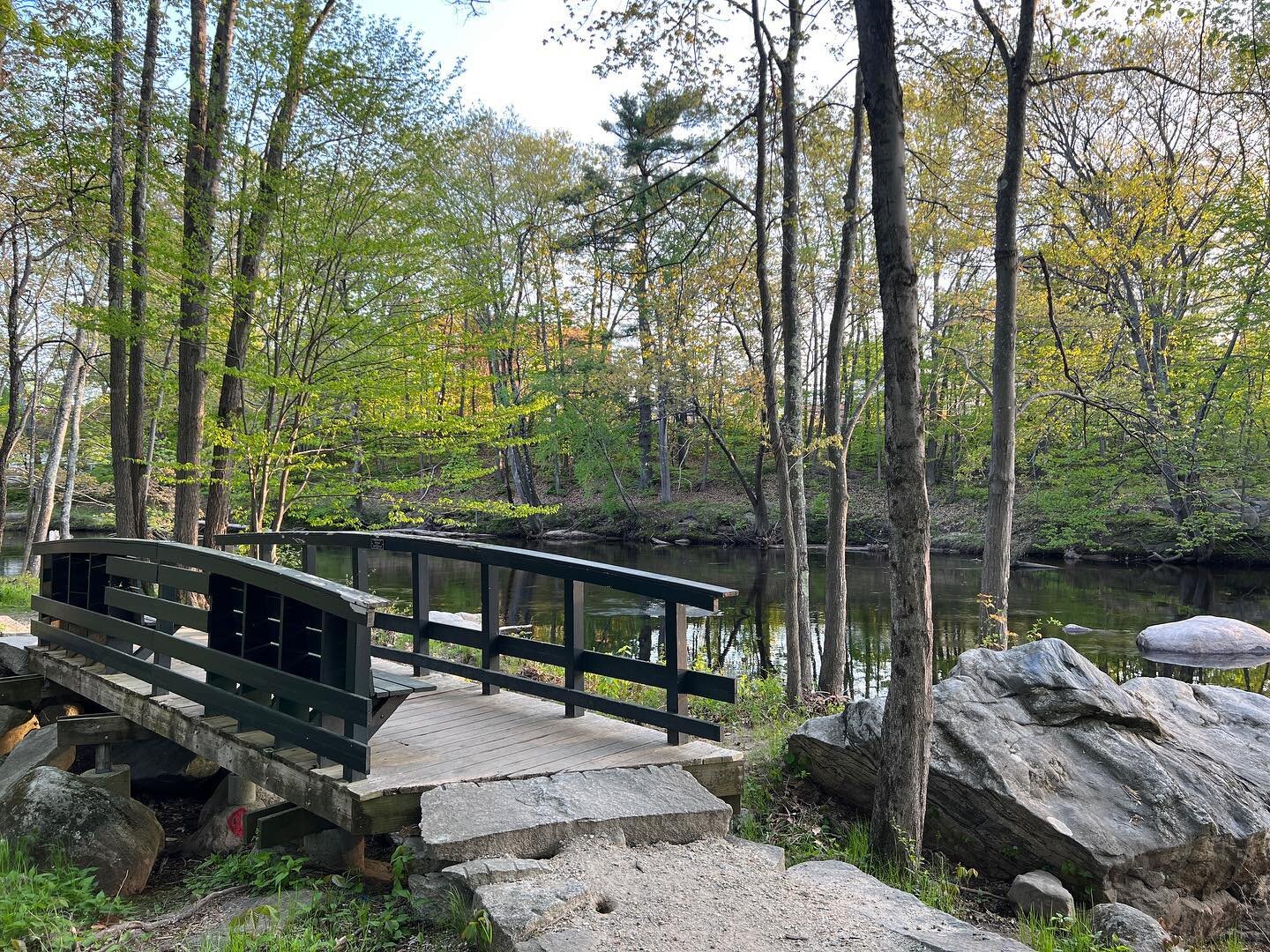
Upper Ammonoosuc Falls
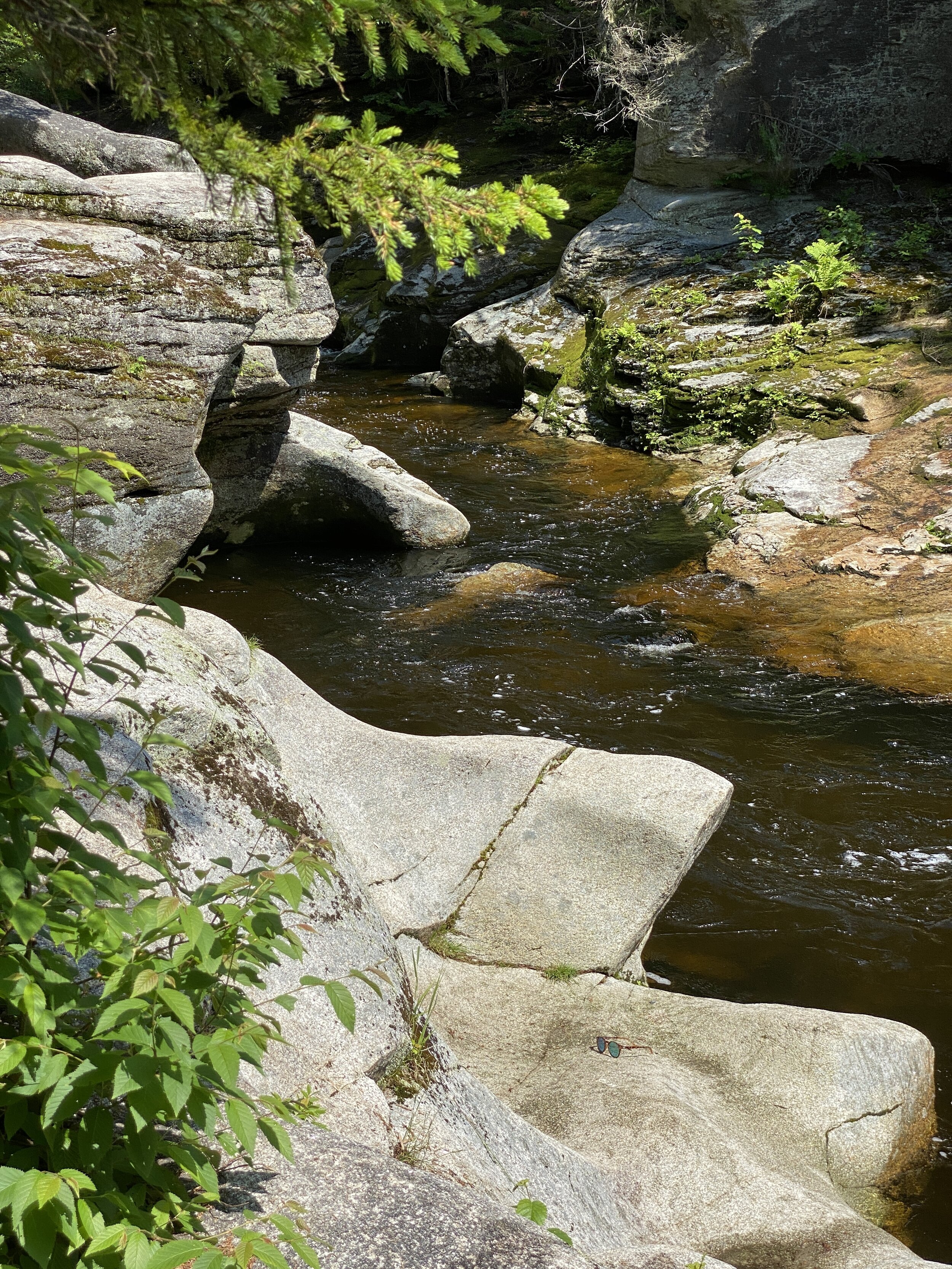
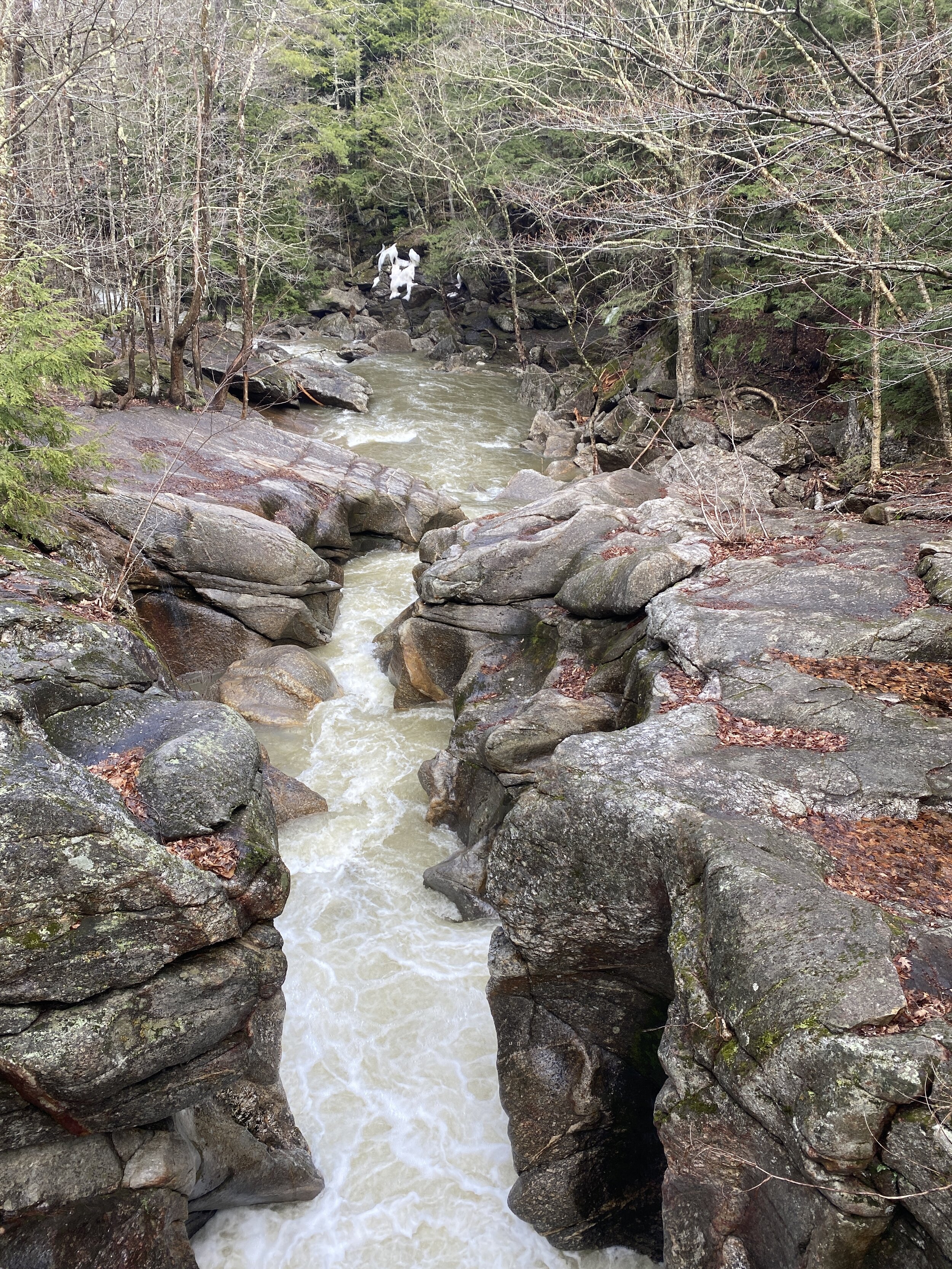
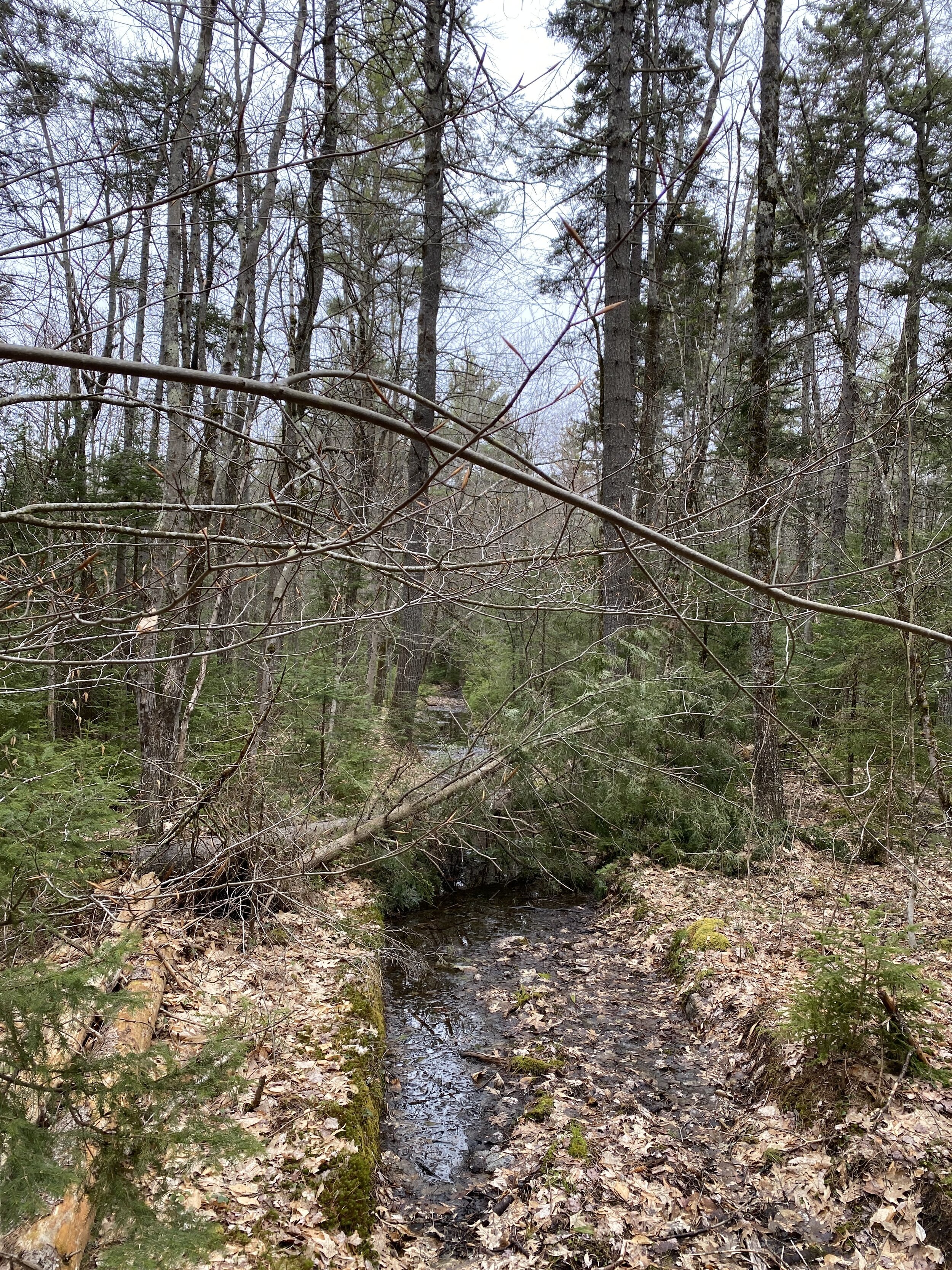
The rocks to jump off were a little too tall for my daughters’ liking so we decided to check out the lower falls, which is roughly a mile south. There is a short path you walk to get to the swimming area. The day we visited there was only one other family there. My daughter enjoys this section a lot more as there are various heights of rocks to jump off. The path goes further up the stream, but we did not explore it. The other family told us that under one of the falls is a small cave to explore.

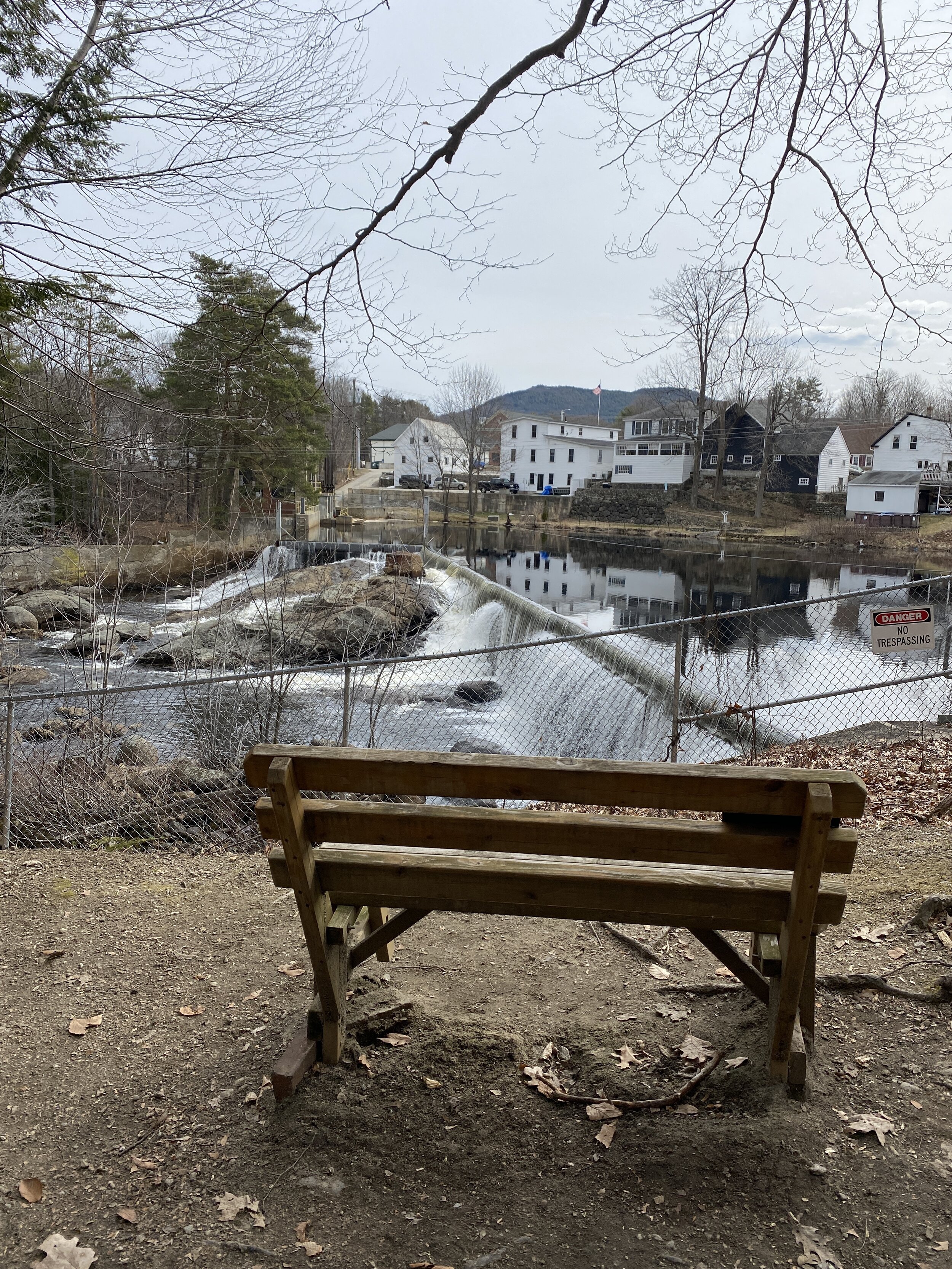
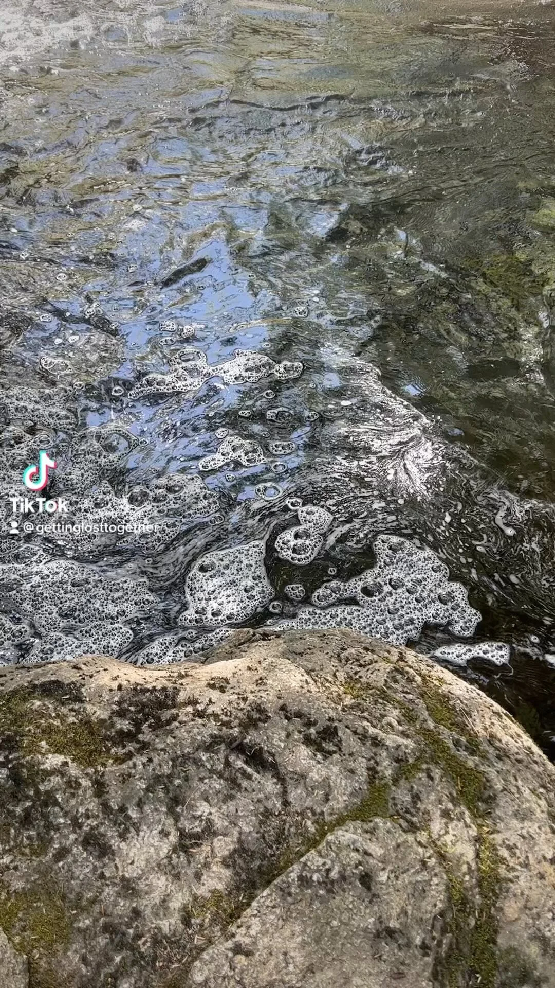
Above the swimming hole.
The pool was about six feet deep. My daughter, husband and I all touched the bottom a couple times when we jumped in but we did not get hurt. We have seen various water levels when we have visited different times during the summer.

Swimming hole at Lower Ammonoosuc Falls
We spent a couple hours laying on the rocks, swimming the rapids and jumping off the rocks.
If you love fun swimming hole and adventure I highly recommend checking out these waterfalls. Remember to use caution when swimming and pay attention to the water levels and currents.


