Pawtuckaway Fire Tower

Distance: .4 miles oneway

Difficulty: Easy side of Moderate

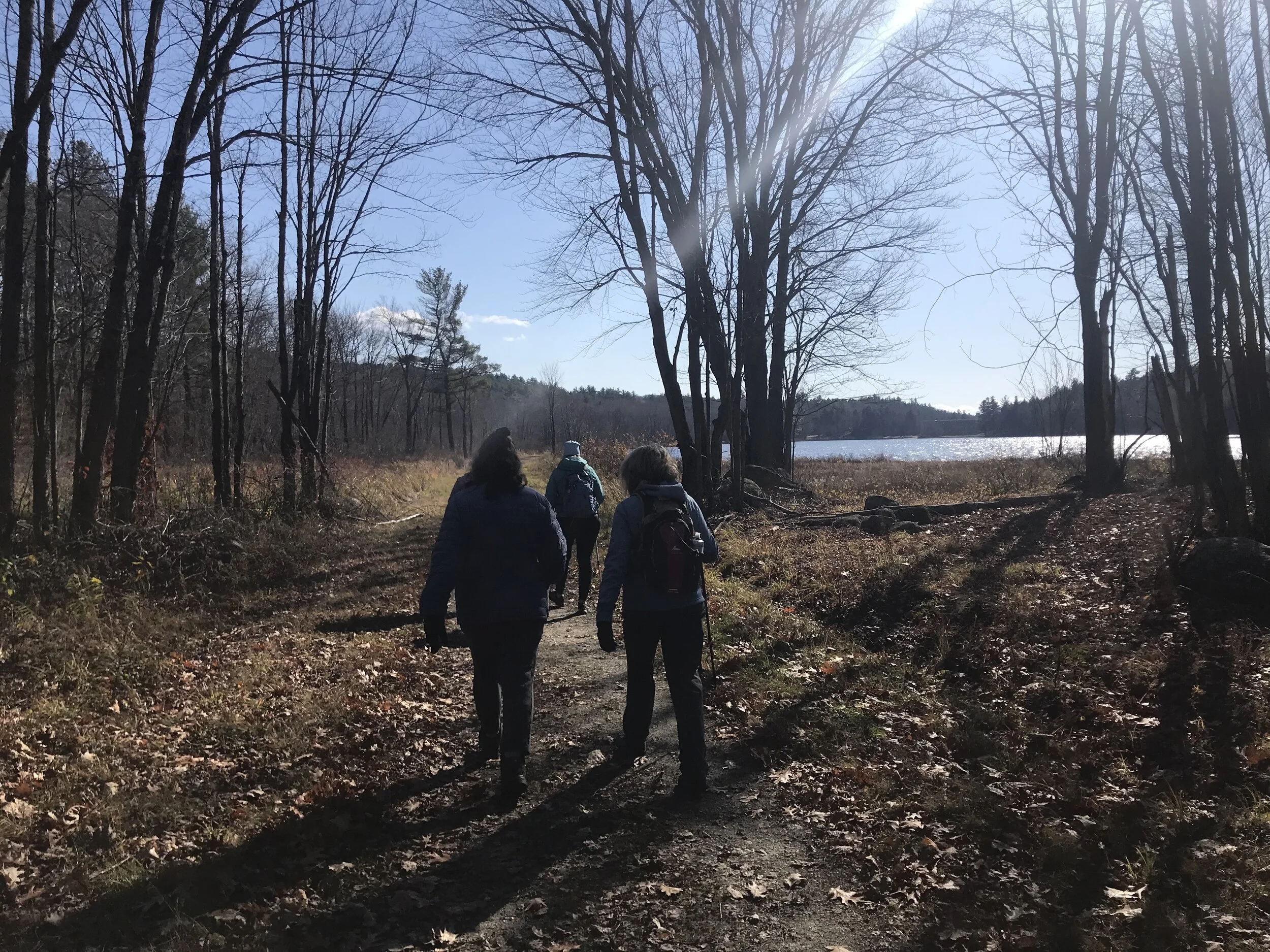
Pawtuckaway State Park in Nottingham, New Hampshire offers an array of outdoor activities. We recently visited with the solo goal of hiking to the fire tower. The tower is located on the South Summit. There are a few different ways to get here, but we chose the shortest and steepest trail. The trail is located off of Route 107. There are signs for the fire tower along Reservation Road and then Tower Road. Part of the road is dirt and my guess is during the wet season some of the road floods. You can bring a car in here, but I would recommend an SUV or Truck.

There are several trailheads along this road. The one that goes to the Fire Tower has an outhouse. It is nice that there is an outhouse, but it is not very clean. I am not picky about outhouses, but this one was pretty bad.

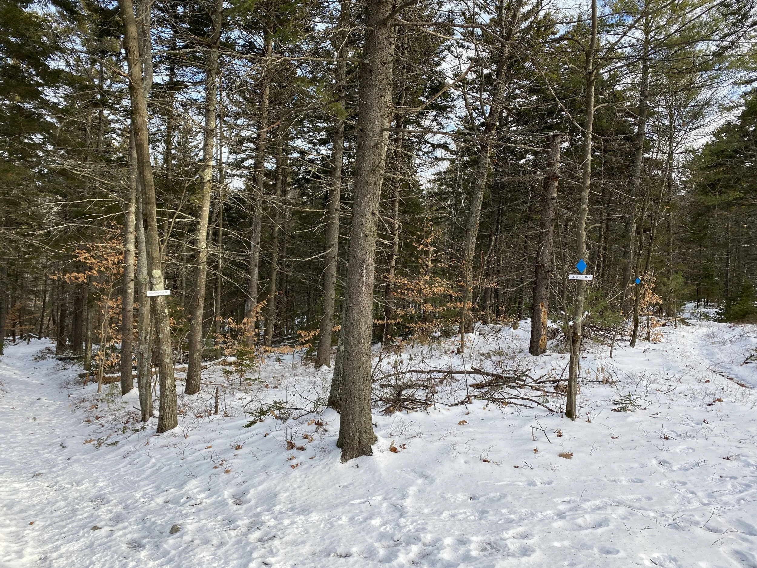
There is a sign that marks the start of the trail.

TGemwv0LQMKs5tGBw7FOWg.jpg

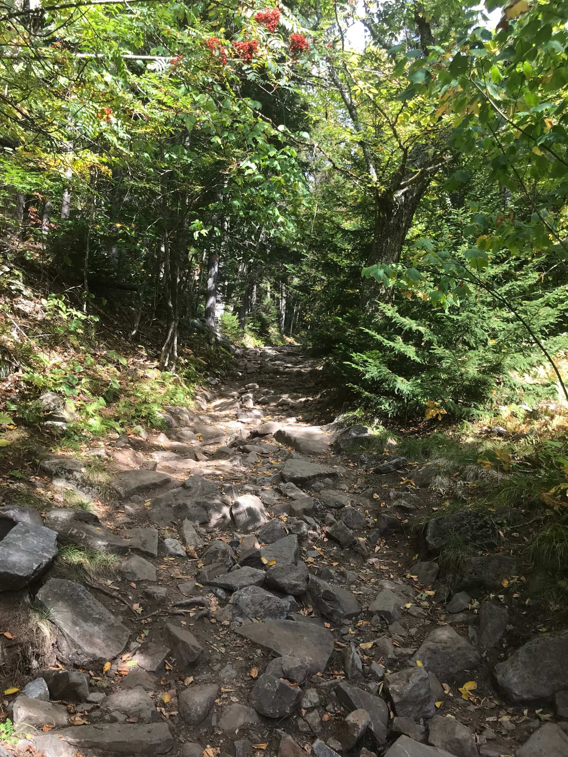
The trail starts out steep.

Uy1h2gp+RbSxdyOgjBskBQ.jpg

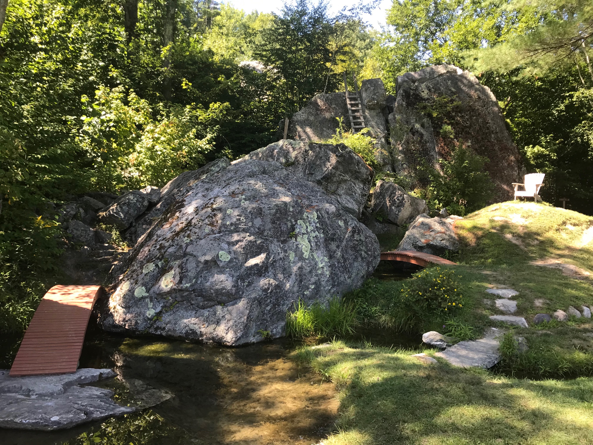
There are a lot of boulders and my daughter enjoyed exploring them.

ODMxClpvSFG0JdQ+wd+3HQ.jpg

The trail continues to be fairly steep until you get to the tire tower. The good thing is, it is only .4 miles to the tower.

BA3A24ReSsm%ZRgeuVsXPA.jpg

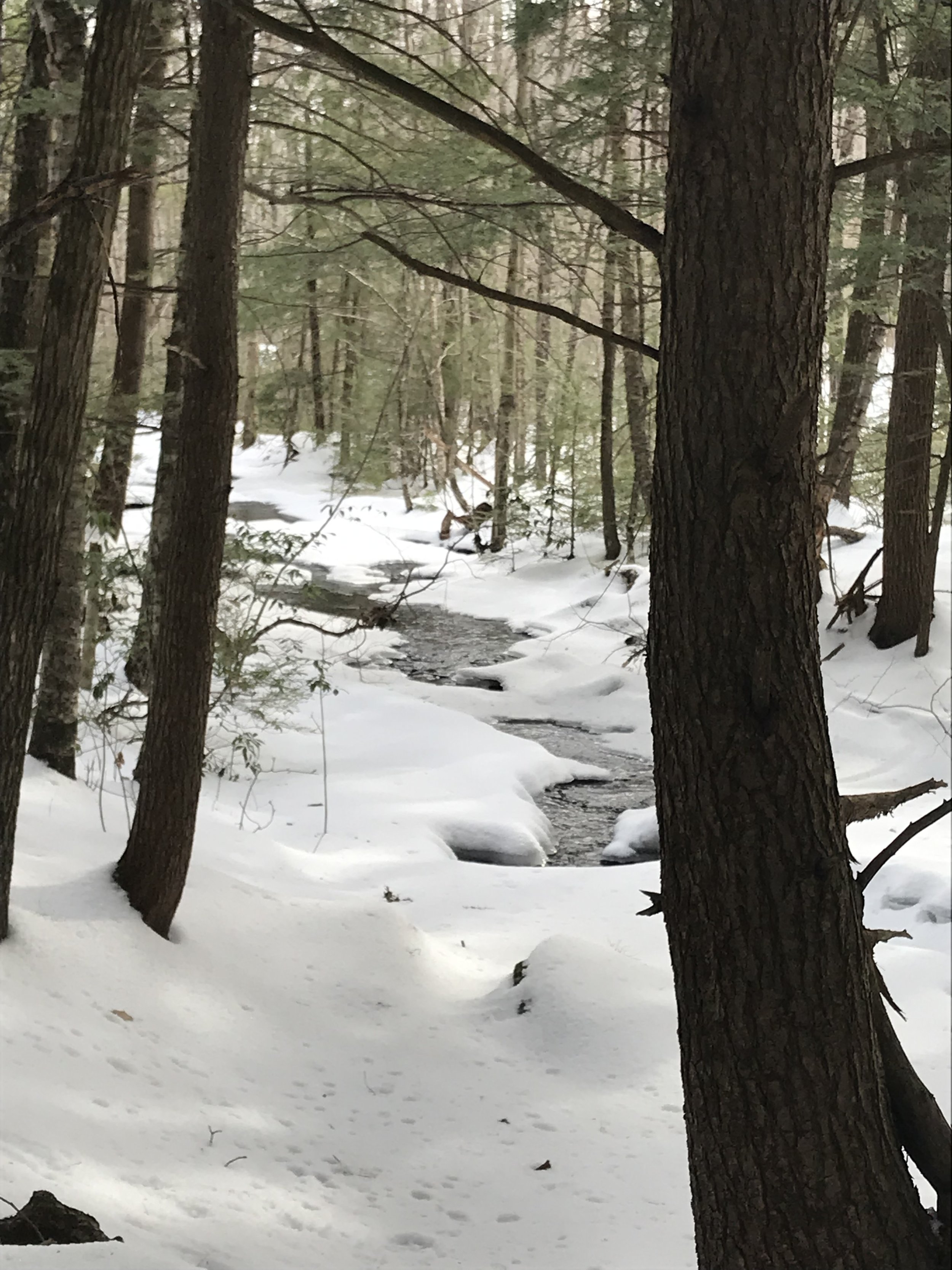
With it being mid November, leaves on the ground and some ice I could see where the trail could get slippery. Please use caution.

Being able to climb up a fire tower is pretty fun.

4t5kT3O7TzK+21WgFruHZw.jpg

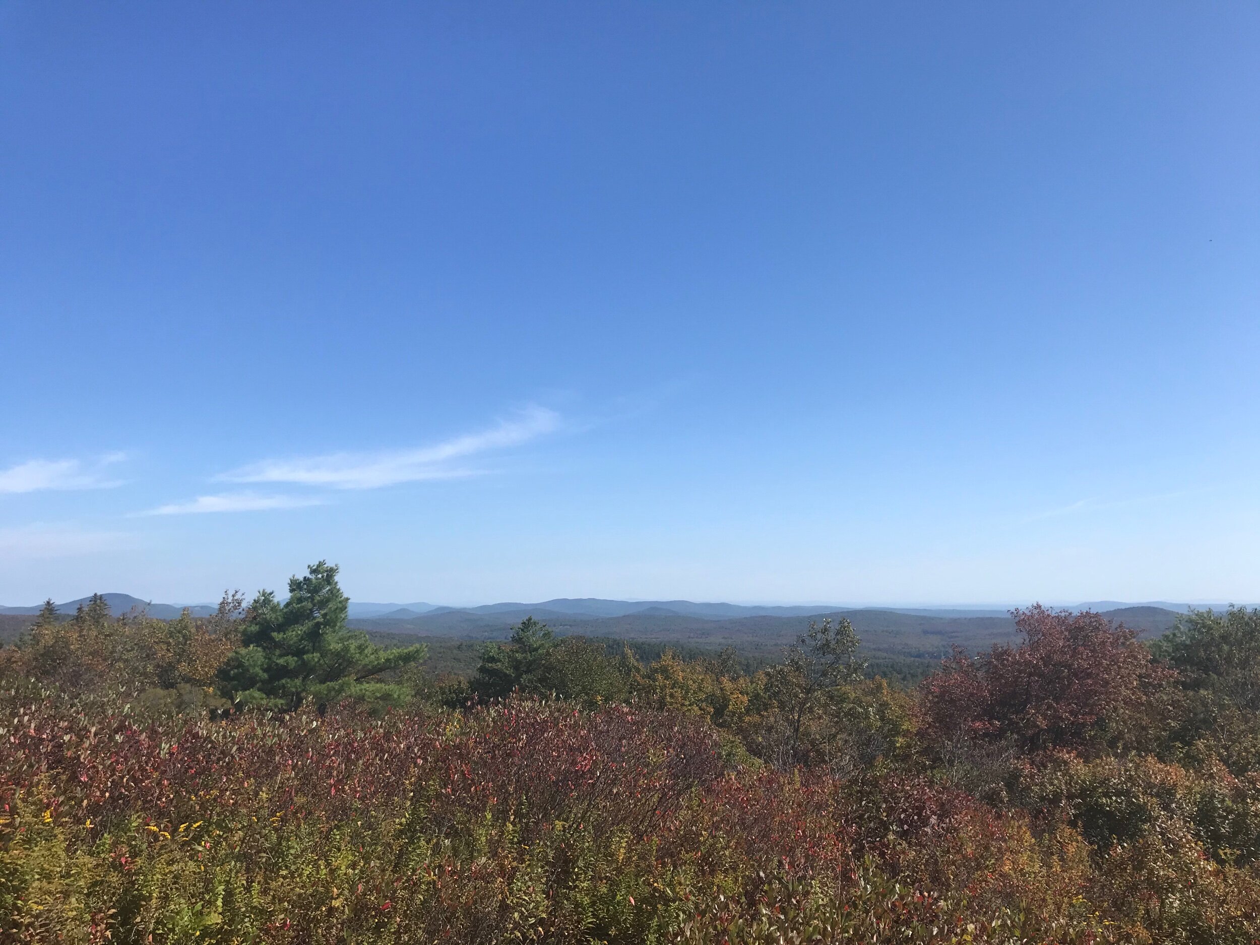
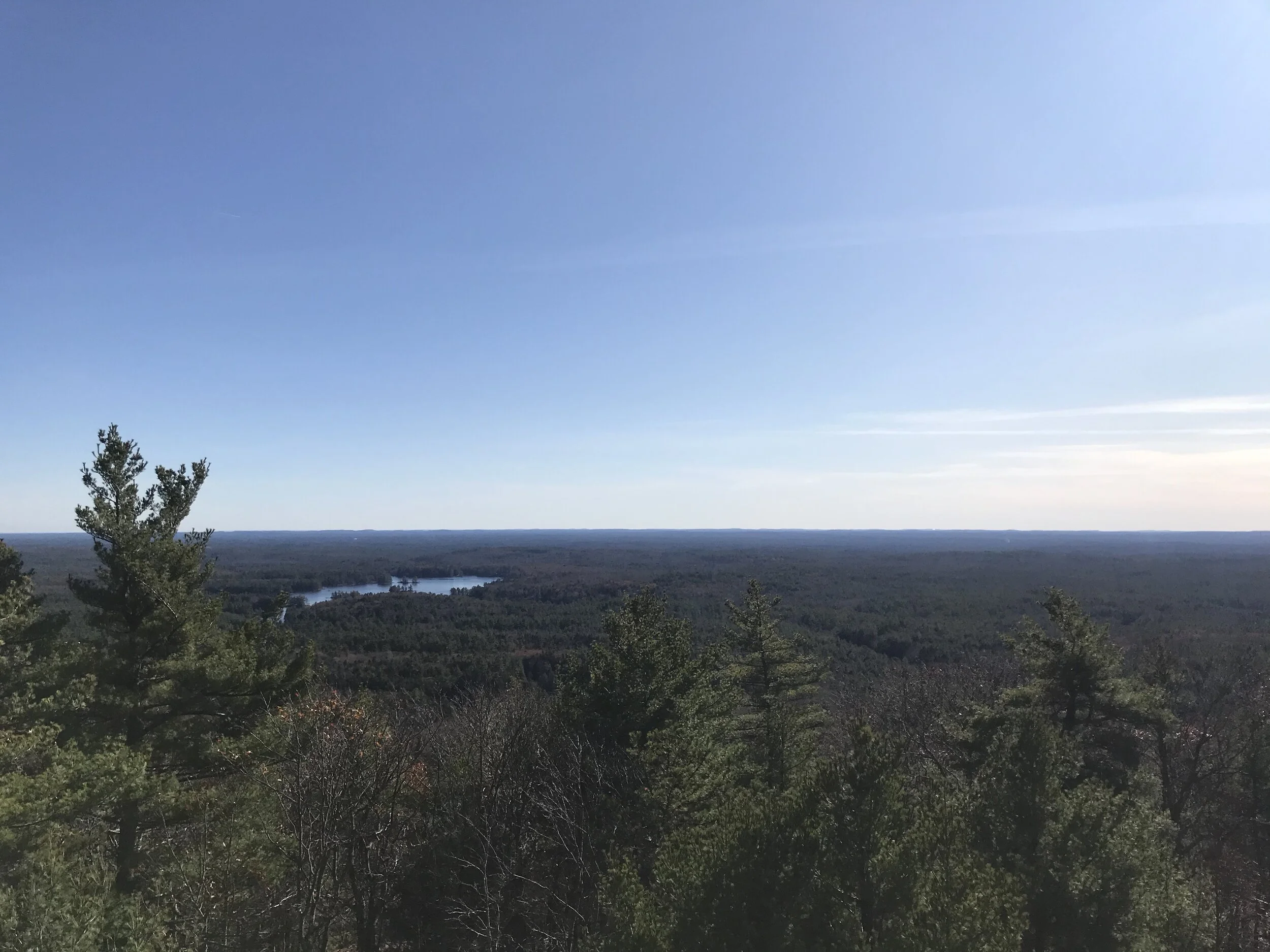
The views from the tower are pretty good.

qiLOktImQr2ZoO7xpxG50A.jpg

Even though it is a short and steep hike it is worth it for the views.

yOK01GNiSceVbFjuuIyjbQ.jpg

There are other trails if you wanted to make your hike longer. If you are visiting the state park I highly recommend checking out the other trails.

Edward MacDowell Reservoir Loop

Distance: 4.6 mile loop

Difficulty: Easy

Located in Peterborough, New Hampshire is MacDowell Dam Reservoir which is part of the Army Corps of Engineers. The area provides an array of outdoor activities from a beach for swimming, trails for bike riding, picnic areas, opportunities for canoeing or kayaking and hiking trails. There are several trails around the reservoir. The write up is about the trail that goes around the lake.

I parked in the small parking lot across the dam. From here you can easily access the trail. The trail meanders through the woods with views of the lake.

FptDTU4hSQeirFEQbE4IsQ.jpg

One of the things I loved about this trail was there were a lot of foot bridges to cross.

bGfyExjVRKiEwtpY2hqHXA.jpg

As you got closer to Route 137 in Peterborough you walked along Branch Brook, which provided some small, but beautiful cascades.

0yP7X1U8SCmY9%FBdD0Kww.jpg

Right before you get to Route 137 is a new bridge that crosses the brook and goes up to the road.

Ty%OyIa8RCSbRdwGqw7LFw.jpg

It is about two and a quarter miles from the parking lot at McDowell Dam to Rt 137. From here you can either turn around and head back the way you came or you can take a right and walk the road for little less than a mile. You walk along Rt 137 to Spring Road. There is a small parking lot on your right as you walk onto Spring Road, but this is not the trail, it is a dead end. Keep going past this small parking lot to Richardson Road. There is a trail sign leading you to take a right onto this road.

76eDZuHgTMC9dTug%ePC1A.jpg

As you loop back around you do walk through a residential area before getting back to the trail. By trail I mean it is more an old road.

IPdNoiSqSNGCYVtqf2xIOg.jpg

This side of the lake provides a lot better views, but it can be windy and at certain times of the year this area can flood. This is also a popular area for people to run and swimming their dogs.

grgUgfqTSuGrMUeJZIYRXA.jpg

When you are back on the dam make sure you check of the view.

9NEWF09pSheWaIaQ+5b+5w.jpg


The loop was 4.6 miles. It was pretty level the whole way with a couple small hills on the wood side. I really enjoy walking along the lake and the brook. The only downside was having to walk along Rt 137, but we did not see a lot of traffic. This is such a great hike if you want to giet some miles in without a lot of elevation and beautiful views.


Palmer-Bartell Forest

Distance: 2 Mile Loop

Difficulty: Easy side of Moderate

Located on Route 13 in Brookline near the Milford town line is the Palmer-Bartell Forest. This trail has off road parking with a kiosk. The trail starts out very wide.

IMG_3888.jpeg

It crosses the rail trail that goes between Milford and Brookline. After crossing the rail trail the path narrows and starts gradually up hill.

IMG_3893.jpeg

I was surprised with how much incline there was. The trails are not well marked. There was some signs, but I did have to use my All Trails App to determine which trails I wanted to hike. If you do not have that app I recommend printing out a map with bring with you. Despite the trails not being marked well, they are maintained well.

My daughter and I did the loop around the Balanced Rock Trail. We did walk along the power lines for several hundred feet There is not much of a view.

IMG_3901.jpeg

We encountered a couple small rock scrambles.

IMG_3905.jpeg

Since we live in New Hampshire a hike is not complete without seeing at least once rock wall.

IMG_3908.jpeg

The loop we did was a little over two miles. There are several other options of trails to explore if you wanted a longer hike. Due to some inclines and small rock scrambles I would not recommend this trail for young kids unless they are good hikers. Good for all other ages and hiking abilities.


Five Fun Fall Activities

I love fall and living in New England. We are fortunate to have an array of fall fun activities. Hiking is obviously one of my favorite activities but I do enjoy other fall activities. Below are some of my favorite places to visits or events to enjoy. I apologize for the lack of photo’s as some of these we have visited in the evening/night time so not the best of taking photo’s. Also I get carried away with being with my family that I forget to take photo’s, I hope no one will fault me for that.

Red Apple Farm in Phillipston, Massachusetts. There are so many options around New England for apple picking that it is really hard to pick one to visit let alone a favorite one. We recently visited Red Apple Farm and loved the variety of activities. Besides apple and pumpkin picking, there is a gift shop with a variety of products and food. Our favorite in the gift shop were the hot cider donuts and hot apple cider. There are hiking trails, various play areas for kids, wagon rides and farm animals. I may have fallen in love with the baby goat.

public.jpeg

One of our favorite buildings was the Brew Barn. They had a nice selection of local beers on tap. My husband and I got a flight of beer to sample.

public.jpeg

For lunch they have a very popular open air BBQ pit. The food was fresh, well made and flavorful. We spent about 3-4 hours exploring the area, We loved the variety and that there was something for everyone.

Trombly Farms Milford, New Hampshire This farm has a huge variety of pumpkins and some local goods in their shop. They also have a corn maze. My favorite part is on the weekends they do an after dark corn maze where you have to find your way through the maze in the dark. The night we went the moon was bright, it was fun trying to navigate through the maze by the moonlight. There were some teenagers trying to scare each other which can add some fright to your adventure. If you have not done a corn maze after dark, i highly recommend it, it’s a different but fun experience.

public.jpeg

Barrett Hill Farm Mason, New Hampshire This farm has produce at their stand that is always fresh and flavorful along with a variety of local products. In season they also have strawberries and blueberries for picking. The last couple years they have put on an event called the Haunted Mile. They lead you on a mile hike around their fields and through their forest trying to scare you. Last year I took my nine year old daughter and her friend and they were just scared enough, but loved it. I’m excited to see what they have done this year.

New Hampshire Audubon Society Concord, New Hampshire This is a fun place to check out year round with their hiking trails and displays insides their building. Around Halloween they do an Enchanted Forest where they guide you on a Jack-o-Lantern lit walk. Along the walk you stop at various points to listen to stories. This is a very family friendly event as it is not scary. If you have young children I recommend you check it out. You do need to buy tickets in advance.

Birchward Apple Orchard on Reed Road in Mason New Hampshire is not the typical orchard you would expect to see on a top list of places to visit, but it is one of my favorites. It is close to my home. It is a quiet orchard that has a good variety of apples, peaches and plums. The reason that I have included it in my list is because I love the view and they have a great variety of apples that are all crisp and flavorful and not too expensive. The staff is always friendly. If you are looking for a place to pick without crowds or any frills, this is the place to visit.

Mt Kearsarge via the Auto Road

Distance .5 Miles

Difficulty: Easy side of moderate

Located in Wilmont, NH is Mt. Kearsarge. This has been on my list to do for a while as my daughter and i have been trying to finish the Fire Tower Challenge, which we have been procrastinating on. I am motivated to finish this challenge this year so we took a little trip to explore the mountain.

We hiked Pitcher Mountain in Stoddard on the way up to Kearsarge so we could check off two fire towers.

View from Pitcher Mountain in Stoddard

View from Pitcher Mountain in Stoddard

I should have done more research before heading to Kearsarge. Our goal was to go up the auto road and hike the trail up to the fire tower. I did not realize there were two entrances to the mountain First we went to Winslow State Park. Here is access to some hiking trails and a picnic spot, but not the auto road. Thankfully the Rangers were very nice and called over to Rollins State Park , where the auto road is located and let them know we were coming and we did not have to pay the park entrance fee again. The parks are about 30 minutes away from each other.

Once we found the correct park, it is about a three and half mile drive up the auto road to a parking lot and picnic area. This was a great place to have lunch before we headed up to the fire tower.

public.jpeg

From the parking area there are two trails, the Lincoln Trail, which we were told was rough, steep and had big boulders. Since we only had sneakers we opted to take the Rollins Trail to the top. Both trails are about a half mile. The trail was rockier and steeper than I expected.

public.jpeg

It was also muddy in spots despite the lack of rain we have had. A couple sections of the trail had large rubber mats that my daughter called the magic carpet. I was not a fan of these as they did not feel stable to walk on. I am not sure why they had them on the trail.

There are some beautiful views along the trail, but the view from the top is amazing.

public.jpeg

You get a 365 degree view of the area. With such little effort, it is a huge reward. The fire tower was closed, it looked like they were making some repairs to it.

public.jpeg

The only thing I wish we had brought was our hiking boots due to the multiple loose rocks on the trail and at times it being so steep you could easily twist an ankle. I saw that some places classified this trail as easy, but I would say it is more the easy side of moderate. If you are looking for a short hike with a magnificent reward this hike is worth the drive up the mountain.

Quoddy Head State Park

Distance: 1 miles to Green point

Difficulty: Easy

If you ever find yourself in the eastern most town in the United States make sure you check out Quoddy Head State Park. Located in Lubec Maine is one of my favorite state parks in Maine to take a hike in. Over Labor Day weekend we stayed with friends in the area and got a chance to hike around the park.

Located at 973 S Lubec Rd in Lubec, Is a light house, a sign marking the eastern most point in the United States and a few miles of hiking trails. Due to a time constraint we got in a quick picture at the sign just because.

public.jpeg

Then we hiked out to Green Point, which is about two miles round trip. I love this path because you walk along the coast line enjoying views of the ocean and Canada.

public.jpeg

We were fortunate the day we visited there was a seal fishing a long the coastline. Unfortunately I could not get a picture of the it because it was too far away.

The other part of the hike I enjoyed was the when we walked through the woods, the abundance of moss was so beautiful.

fM0CUDW0T6K7wN6AFj15wA.jpg

We did not get there early enough, but I have heard that the sunrises are pretty spectacular. I still love the day time views.

public.jpeg

There is some incline throughout the trail so make sure you were appropriate footwear and bring water with you. There is enough trails that are kid appropriate, just beware as there are some steep cliffs overlooking the ocean.

Madame Sherri Forest/Ann Stokes Loop

Distance: 2 Mile Loop

Difficulty: Easy side of moderate

I have been asking my hiking group what trails they want to hike . Madame Sherri Forest has come up frequently in group discussion. The end of August we finally got a chance to hike it. It is located near the Vermont border so not very close to the Peterborough area. The trail is located on Gulf Road in Chesterfield, NH. The reason this is a special place is due to the ruins of an old “castle.” Madame Sherri had build her “castle” in the New Hampshire and throwing parties. Unfortunately after Madame Sherri’s death the home fell into disrepair and eventually burned. The stairs and foundation are all that remains.

From the parking lot it is a short walk up to the ruins that you can explore.

public.jpeg

If you are looking to get a hike in there are a few options. When you walk back towards the parking lot you take a left to connect to the other trails. A few feet down the trail is a mailbox where you can get a map of all the trails. We chose to do the Ann Stokes Loop. I thought this would be an easy walk through the woods, but it was harder thank I expected.

The loop we did was a little over two miles. It was a gentle incline up to a small pond. You had to walk down a side trail to see the pond.

public.jpeg

From there it went up some steep rocky sections to a beautiful view.

public.jpeg

The trail looped back around to the mailbox. My guess from looking at the map is the other trails may be harder with more of an incline and a longer distance.

I would rate this trail as moderate and good for people who have some hiking experience. Not a good trail for young children or those with limited to no hiking experience.

Taconic Mountains Ramble

Distance: Varies due to several trails

Difficulty: Moderate

When you are scrolling through social media do you ever see posts on places you should visit. I often see them and save them in case I need ideas of day trips. There has been one place I have wanted to visit for a while and on a recent trip to Vermont we finally were able to stop.

Taconic Mountains Ramble is a small state park near Castleton, Vermont. This is an undeveloped park with no facilities or staff stationed there. The day we visited there was a porta-potty, but I am unsure if there is always one there. There are several miles of hiking trails with beautiful views of Western Vermont.

The main reason that I was drawn to this park is because it is advertised as a Japanese Garden. I love a good garden and place to relax so I was very excited it check it out. When I was reading reviews about getting to the gardens it was reported that is is very steep terrain. I was little nervous about what we were getting into, but figured I we would give it a try.

The state park was a little difficult to find. It is located on St. John Road, which you can access from Rt 30 in Hubbardton by taking Monument Hill Road to Woods Road. We also followed the signs for Mt. Zion. There is a couple parking lots, but you want to go to the one at the end of the dirt road. From here there is a small kiosk and a couple places to sit to enjoy the views.

There is a small home that also has additional information on a bulletin board. There are several trails from this parking lot. Our focus was to see the Japanese Garden.

To get to the garden you walk past the house to a path that has my favorite sign.

public.jpeg

Then down a steep grass embankment. It is only about a quarter of a mile to the garden. The garden is smaller than I expected, but it was still worth the trip.

public.jpeg

There are seats around the garden and places to spread out for a picnic. There are some water features, a ladder to climb up on a rock and a chair, ponds with turtles and frogs and other sculptures.

public.jpeg

i could have sat her all day. When you have an active ten year old you do not get much opportunity for down time. We spent about 20 minutes enjoying the garden.

public.jpeg

We took the Spring Trail back to the parking lot which was between a quarter of a mile and half mile. Since we have not had a lot of rain this year there was nothing in the streams, but my guess is when there is, they are beautiful.

We did not explore a lot of the trails, but my guess is they are moderate too hard. There are some beautiful views in this area. I highly recommend checking out Taconic Mountains Ramble if you are in the area.

If you want more information on the history of the area check out the Vermont State Park Website.

Robert Frost Interpretive Trail

Distance: About a mile loop

Difficulty: Easy

As we recently drove home through Vermont, I was looking for short hikes we could do to break up the driving. I came across Robert Frost Interpretive Trail in Ripton, Vermont. Not too far away from Lake Bomaseen State Park, one of my favorite Vermont State Parks. The day we visited the trail the parking area was closed, as well as a portion of the trail due to construction. We were able to park along the road.

There is a small kiosk with a map and an outhouse.

public.jpeg

The trail starts out to the left of the kiosk and goes down a gravel pathway to a bridge.

public.jpeg

The fun part of this trail is there are Robert Frost poems along the path. My daughter enjoyed reading the poems along the way.

public.jpeg

The path is a little under a mile and goes through the woods, then a field and the along a stream and loops back to the bridge where you started. The trail provides some beautiful views.

public.jpeg

The day we visited it was pretty busy with a couple large groups of people on the trail. If you are in the area and enjoys Robert Frost Poems I highly recommend you check out the trail. It is easy, trail, more of a walking path good for beginner hikers and those with children.

Good Harbor Beach

We are fortunate in New England to have access to a variety of ocean beaches whether you are looking for beautiful white sand, rocky coastlines, calm seas or rolling waves. Good Harbor Beach is one of those beaches you should put in your must visit list. Located at 99 Thatcher Road Gloucester, MA is Good Harbor Beach. Passes must be reserved in advance. The $30 fee is worth it.

There is ample parking, clean restrooms, a snack shack and a small beach store. There are lifeguards and we have seen local police at the entrance and walking the beach. The beach itself is fairly big with plenty of space. It is usually busy, but we do not feel over crowded or we like we did not have space.

The cool thing about this beach is when the tide is low a land bridge forms where you can walk to a small island to explore. It provides a great view of the beach.

IMG_0699.JPG

The waves are usually pretty good here, which is the reason this is my daughters favorite beach.

public.jpeg

We have visited this beach a few times and it has become one of our favorites. I would not recommend for young children as there is not a lot calm places for them to play. We saw lifeguards telling parents to take swimmies off their kids, my guess is because of the strong waves. It is perfect for older kids and adults who love to play in the waves.

Thorndike Pond

The last I knew the beach area was for Jaffrey Residences only.

Thorndike Pond has been one of our go to ponds since moving to the area. Friends who have lived here longer than us have said that Thorndike was always the place they went to catch frogs and not swimming. We love swimming there. We usually go in the evening and the beach is not too crowed, there are a couple picnic tables and grills, a shelter and an outhouse. There is a small parking area. You do have to walk several feet from the parking lot to the beach. The water is clean and cool.

Recently we decided to kayak and paddle board around the pond My husband and daughter kayaked while I rented a paddle board from Eastern Mountain Sports in Peterborough. We parked on the side of the road at the boat launch which is on Dublin Road in Jaffrey. The beach parking lot is almost across from Monadnock State Park enterenceand the boat launch is a little further up. I would say less than a mile.

The pond was very nice to paddle around.

public.jpeg

In the middle is Whittemore Island that is managed by the Monadnock Conservency. We paddled around it to the trailhead.

public.jpeg

We did not walk up the trail, but it looks like it is about a mile around the trails and an easy walk.

public.jpeg

We then paddled over to the public beach to enjoy a swim and to play around with the paddle board.

public.jpeg

I was surprised to find the beach was not too crowded for a hot summer Saturday. It was a perfect spot to sit and fuel up. The temps were in the low 90’s and I was impressed with my Pack-It lunch box, as it kept our drinks cold on this hot day. Overall Thorndike continues to be one of our favorite ponds in the area to swim, paddle and explore.

In the winter, when the ice is thick enough, it is also a great place to walk along the pond and get beautiful views of Monadnock.

IMG_5761.JPG

As of Summer 2020 I have heard that the beach is for Jaffrey Residents only, but you can still put in at the boat launch and paddle around the pond.

Fremont Trail

Distance: 1.4 Miles Oneway

Difficulty: Easy

I love exploring new trails. The Fremont Trail in Peterborough has been on my to do list for a while. This week I had time to do some exploring. The trail is located on Old Jaffrey Road off Route 202 near Noone Falls. There is a small road where you can park near mailbox 100.. I did not see the trailhead closer to the road and started out the hike by walking down the old road that is all grass. Fortunately the trail looped around to the main trail through the field. The field is mowed so it is easy to follow.

You walk through the field enjoying the various wildflowers and plants.

public.jpeg

If you look behind you, you get a glimpse of Pack Monadnock.

public.jpeg

There is a small stream that you cross before heading into the woods. You walk through the woods and cross another small stream.

public.jpeg

There is a slight incline. for for about a half mile as you walk through the woods. The trails are not marked, but they are easy to follow.

public.jpeg

When you get to the to the top of the hill there is a fairly large cellar whole on your right.

public.jpeg

As you turn right and head down a hill you reach a beaver pond. There is not a great view of the pond, but you can see part of it. It is also very buggy here. To the pond it is about 1.4 miles.

public.jpeg

From here you turn back the way you came. Walking back out onto the field towards the end was very peaceful as you could hear the birds and smell all the plants and flowers.

public.jpeg

This is a great trail for beginners, families with young children and anyone who want to get some time in the woods without much effort

High Five Reservation

Distance: .4 Miles

Difficulty: Easy

Do you ever hear of a trail and think, I will get to it someday and it goes on a list of “to do’s. Today all I was thinking about was going for a sunset hike after dinner. Of course all the mountains I was thinking of faced east. Then my husband said, “doesn’t High Five have a good view?” A friend of mine has been telling me about High Five for a while and I have not gone yet. This was the perfect night to do so.

From the Society of the Protection New Hampshire Forest Website, to access to the property is from the south via Sky Farm Road in Deering. From the town of Hillsborough, take Route 149 East for 1.6 miles and then take a slight right onto Old County Road. Follow this road for 4.2 miles and then turn right onto Sky Farm Road. The property is located on the right after 0.8 miles. Parking is only available along the shoulder of the road. You will see a green gate and property sign. Please remember not to block the gate.

You walk up an old road that is mostly grassy.

public.jpeg

After the first quarter of a mile to come to an open field with beautiful wildflowers and a view of Crotched Mountain.

public.jpeg

As you continue up the trail you come to an open field with amazing views. To the north we could see Kearsarge and the White White Mountains.

To the west we could see the new windmills in Antrim and various ridge lines.

public.jpeg

To the southwest you can see Mt Monadnock.

public.jpeg

It was only 4/10’s of a mile to the top, making it an easy with some of the most stunning views in Southern New Hampshire.

There are also many beautiful wildflowers to enjoy.

public.jpeg

A small bench and plenty of grass to lay out a blanket. Watch out for ticks and bugs as they are plentiful.

Not only are the views amazing the sunsets are pretty spectacular.

public.jpeg

This short walk is a must do.

Gilmore Pond

The town of Jaffrey has put restrictions on many of their swimming areas/bodies of water to town residence only. Please watch out for resident only signs.

It can be hard to find a good swimming hole that is clean, open to the public and allows dogs. I am constantly on the lookout for a place that I can swim with my Golden Retriever.

Located on Gilmore Pond Road in Jaffrey is Gilmore Pond. This is a small pond with road side parking, a small beach and boat launch. This is a perfect place to get a swim in with your dog.

public.jpeg

The bottom of the pond is mostly sandy. I am not sure if motorboats are allowed here, but every time I visit I see kayakers out on the pond. It is not a big swimming area, but perfect on a warm day when you want to cool off with your pup.

Update: My family and I recently explored Gilmore Pond by water. My husband and daughter kayaked and I rented a stand up paddle board from Eastern Mountain Sports in Peterborough. We parked at the boat launch and paddled a crossed the pond. It was very calm not a lot of people on the water.

public.jpeg

As we rounded the corner on the right there is a small beach where the water is very sandy. There is not much actually beach space, but the water is clear and very sandy and you can walk out pretty far. Since it was a hot day it was pretty packed. The parking to walk to the beach is located on Sandy Lane off Gilmore Pond Road in Jaffrey. The walk is only about a quarter of a mile. There is a small parking lot. Another great place to take a dip.

As of Summer 2020 I have heard the Gilmore Pond no longer allows dogs.

Temple Mountain

Distance: 1.5 Miles

Difficulty: Easy side of Moderate

Located off Route 101 in Peterborough across from Miller State Park and Pack Monadnock is an old downhill ski area and Temple Mountain. There is a large parking lot with kiosk, provided ample parking.

From the parking lot you walk up an old road. You can bare left and follow the Beebe trail, which is relatively steep and goes up various rocks. I always take the road, which is also part of the Wapack Trail. There is a lot of loose rocks so if you are not sure about your footing you may want hiking poles. 8/10ths of a mile up the trail bares right and continues up the mountain along the Wapack Trail. If you continue up the road you will come to a lookout with a view of Pack Monadnock. There are remnants of the old ski area along the hike.

public.jpeg

From there you head back down the road a few feet and follow the Wapack Trail south.

public.jpeg

The trail meanders through the woods, it is fairly flat and very peaceful. There very limited views from this part of the trail.

public.jpeg

A little over a half mile from the lookout you come to the Rock Chairs. There is no view, but the chairs are pretty cool.

public.jpeg

If you are looking for more views you can continue south on the Wapack trail until you come to the Sharon Ledges. Below the ledges are another parking spot if you wanted to leave a car. It is about 4.5 miles from the Temple Mountain Parking Lot to the Sharon Parking Lot.

public.jpeg

The hike is a good work out and something different to see along with opportunities for further hiking if desired.

Beaver Brook Falls

Distance: .8 miles to falls

Difficulty: Easy

I am constantly on the look out for a new waterfall to explore. I had heard about Beaver Brook Falls through my various google searches. After Easter festivities and breakfast I was itching to get a hike in, but wanted something kind of quick. With all the snow melted and rain we have had I thought it would be a great time to check out the falls.

From Route 9 heading east out of Keene take a right onto Washington Street. Take a left onto Concord Road and then an immediate left onto Washington Street Extension. Drive to the end and there is a gate. Park near the gate, but not in front of it. Also be mindful that this is residential area.

OdZ4++XqRpefxMaEiT%KoA.jpg

This is not a true hike, but more of a walk, as you are walking down an old tar road along power lines. I feel you could push strollers down this road. My husband said he liked walking down the old road because he felt like he was in a scene of the Walking Dead.

G8+uyG+NTweCG95SVqhomA.jpg

As you are walking up the road you are following Beaver Brook which provides a relaxing sound and a beautiful stream. Along the hillsides we saw several cascades flowing down due to the recent rainfalls.

joOO%mguSm2PUBxMmgrmOA.jpg

There was a sign about an Old Man of Keene, we looked for it, but are not sure if we found the correct one as many of the ledge outcroppings looked like they could be a man.

HnhKKPvLSp2t%ig8QDrGcg.jpg

There is a small incline heading up to the falls, but nothing that is hard. You can also start to see the falls from the road. In order to get a good view it is best to climb down the embankment to the bottom of the falls. Just use cautions as it is very steep, the rocks are loose and slippery when wet.

AnS7dkFeTxKmrd4jfYVs8Q.jpg

Once you get to the base of the falls it is pretty enjoyable.

i0azowdWRfCHaC%EwdgwNA.jpg

I would not consider this a real hike, but it is a nice walk to a pretty waterfall. It was about .8miles to the falls. There is a section at the top of the falls if you wanted to spread out a blanket for a picnic. Good walk for young families or beginner hikers. I would only caution if you chose to walk to the bottom of the falls due to the loose rocks and it being steep.

Wildcat Waterfall

I love when I find hidden gem in a suburban area. We had to run some errands in Nashua and my daughter had some tokens to Fun World. After spending a few hours in crowds I needed some time in nature. That is when I remembered about a waterfall in Merrimack that my co-worker had told me about.

Located off of Baboosic Lake Road on Currier Road in Merrimack is a nice conservation area, Wildcat Falls Conservation Area. There are a few different trails in this area, but the main attraction is the waterfall.

From the parking area we started on on the path, which was still icy and muddy. There is a small pond to your right where we saw some ducks swimming around.

IMAGE.JPG

At the first intersection we went right to take the Falls Loop Trail. This was a nice walk along the Souhegan River. There were a couple benches along the way if you wanted to relax and enjoy the view. It was flat, until right before the falls.

IMAGE.JPG

Then there was a series of steps leading up to an outcropping of rocks that overlooked the waterfall. It was about a half mile to the falls.

IMAGE.JPG

There were signs that said swim at your own risk, so I am not sure if people swim here in the summer.

IMAGE.JPG

With the recent rain and snow melt the falls were pretty impressive.

IMAGE.JPG

After enjoying the view of the falls, we looped back to the Connector One Trail. Which was also flat.

IMAGE.JPG

In total we walked about an easy mile loop. I love that this waterfall is easy to get to, but also provides some time in nature. Perfect hike for beginners or with children. Just use caution by the falls as the rocks can get slippery if wet and there is no railing.

There are options for other trails as well. Due to not having appropriate footwear and it being later in the day we opted out of a longer hike today. It was still nice to get a quick mile in with a beautiful view.

Crotched Mountain Trails

Distance: 1.7 miles to the top, but options or more or less

Difficulty: Easy to Moderate

Variety of options for trails.

Located on Crotched Mountain Road in Greenfield, New Hampshire is the Crotched Mountain Accessible Trails. There are two trails here, the Dutton Trail, which is great for strollers, little legs, and beginner hikers. There is also the Gregg Trail that goes out to an observation deck then on to the top of Crotched Mountain.

From the parking lot there are two options for The Gregg Trail, go straight up a steady incline or take a right up a some switchbacks. The Gregg Trail provides a beautiful view of Rose and Pinnacle Mountains to the east.

IMAGE.JPG

Where the two trail reconnect you reach an observation deck that looks towards Mt. Monadnock and to the northwest. The views were beautiful.

IMAGE.JPG

If you hike up a little further you go through a blueberry field and get a much better view to the east and west.

IMAGE.JPG

From here you walk into the woods where there is a split in the trail. To the left you can take Shannon’s Trail to the top of Crotched Mt or you can take a right and follow the Lower Link that takes you to a series of other trails.

297BA77E-7DA1-4652-9FC0-A3F62F8B7034.jpeg

The Shannon Trail goes through the woods and over a stream. It is a fairly flat walk through the woods.

1268446A-0F25-4562-873A-050EBEFF8CBD.jpeg

Roughly the last half mile of the trail is a steady incline up over some boulders. There is another trail split off to the left that takes to on the Bennington Trail.

There are several places to stop and enjoy the view before you reach the top.

5493999D-D01F-47C9-AEFA-9AE1F44979FD.jpeg

Once at the top there is a picnic table and spectacular views of North Pack and Pack Monadnock, Mt. Monadnock and on a clear day you can see a ski mountain in Vermont. it was about 1.7 Miles to the top.

EA99A77A-65C0-41B1-9DDE-42B7AD666FF1.jpeg

I love the view that you get from the Observation Deck via the Gregg Trail with minimal effort. If you want a little more challenge and a sweeping view of the area, I highly recommend continuing up the Shannon Trail to the top of Crotched Mountain.

Mile Slip Forest Mitchell Brook Trail

Distance: 1.5 Mile Loop

Difficulty: Easy

Located at the end of Mile Slip Road in Milford is a great town forest. I recently did the Badger Hill Trail. On the trail map I noticed another trail that followed a brook and I wanted to check it out.

My family and I recently visited the trail. From the parking lot there is a hiking sign marking the start of the trail. The trail slowly goes down a hill. There is a junction of the trail, yellow markers goes to the right and white trail markers go to the left. I am not sure where the yellow ones went, but I followed the white ones towards the brook.

IMAGE.JPG

We continued down until we could see the brook in the faint distance. The trail goes along the brook, not really close, but you can see it. There is a spot on the trail with a map that shows some benches near the water, so you are able to get closer. We did see two benches beside the stream which looked like a nice place to relax.

IMAGE.JPG

We followed the stream for about a half of a mile. We saw some large dear tracks. Signs of porcupine eating a tree. Along with a couple trees with some cool mushrooms on them.

IMAGE.JPG

The trail looped up around to the main trail where you can also connect to the Badger Hill Trail, if you wanted a longer hike with some incline . At the connecting trail there is a nice hill for doing some trail sliding.

IMAGE.JPG

The main trail is a multipurpose trail, we did see a couple snowmobiles so just use caution when you are on the main trail heading back to the parking lot. From where the Mitchell Brook Trail connects with the main trail it is about a half mile back to the parking lot.

This trail is great for beginner hikers and family hikes. The whole loop is about a mile and a half with minimal incline.

Beaver Brook Trail off Proctor Hill Road

Distance: 3 Miles, but option for variety of distances

Difficulty: Easy

Located across from Diamond Machine on Rt 130 in Hollis is an another trailhead for the Beaver Brook Trail Association. My husband and I recently had an hour to ourselves while our daughter was at art lessons so we decided to check out this trail as it was close to her art studio. We followed the Beaver Brook Trail to Cow Lane and then to Eastman Meadow Trail and then back to the parking lot. The map is a great resource of all the trails through the Association.

The trail is fairly flat. It was a little icy, but were were able to walk without any type of crampons.

IMAGE.JPG

There are some pretty sections of the trail over looking, streams, bogs and a pond.

IMAGE.JPG

As well as a platform viewing area.

IMAGE.JPG

My favorite part was a boardwalk that went over a bog connecting Cow Lane and Eastman Meadow trail.

IMAGE.JPG

We only spent an hour on the trail, but really enjoyed it and were able to hike three miles. It was also nice for my husband and I to get some alone time, which does not happen very often. If you are looking for a cheap date, hiking is a great way to do it. These are great trails or all abilities of hikers and those with young children. In the winter they are good for snowshoeing and cross country skiing.