Adams Point

Distance: 1.5 Miles

Difficulty: Easy

Loop Trail

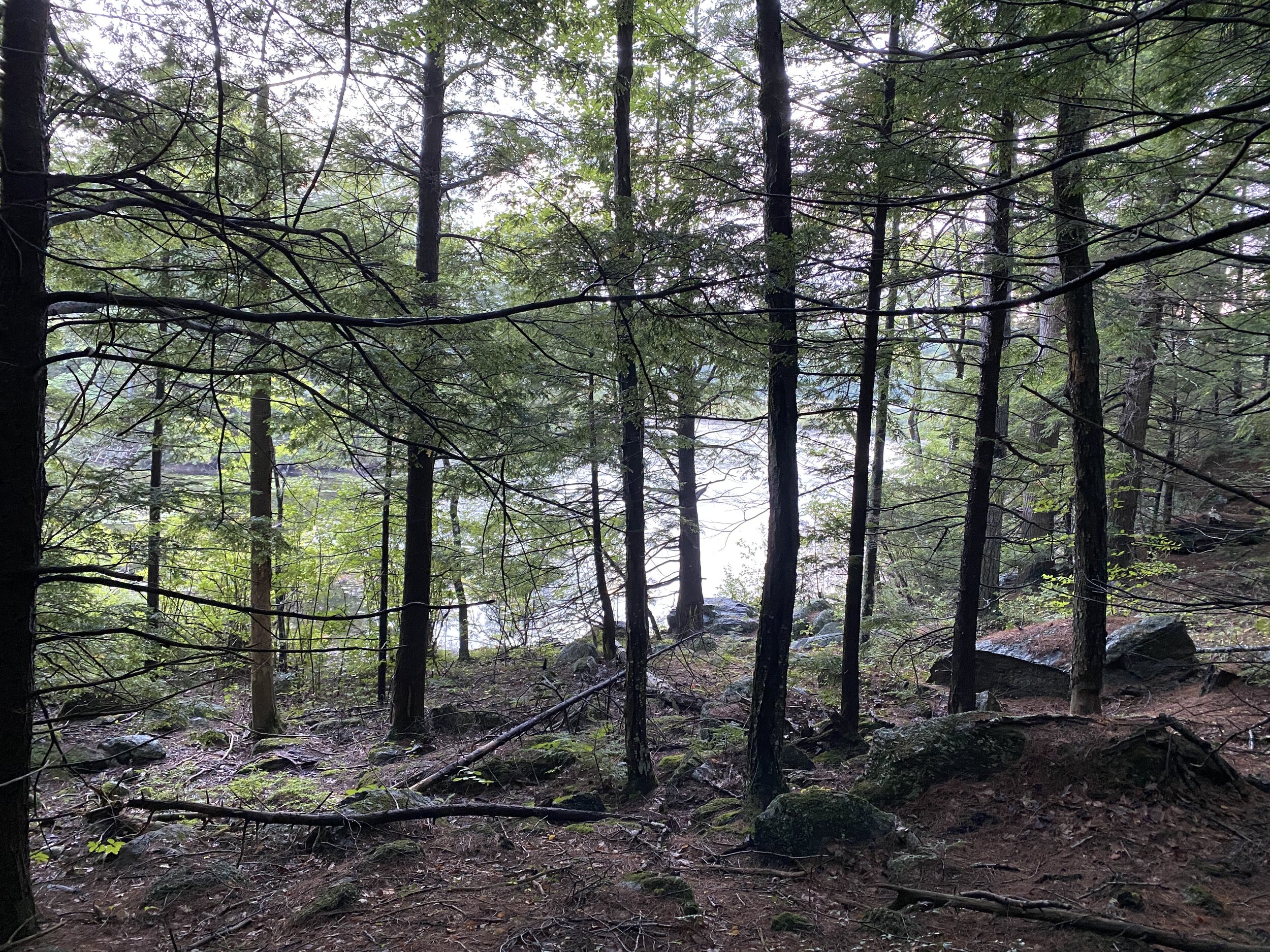
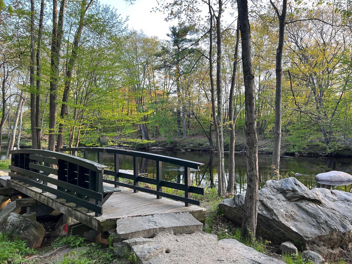
Located on Adams Point Road in Durham, NH is a nice hiking trail. Adams point is home to The Jackson Estuarine Laboratory. Around the facility is some beautiful hiking paths overlooking the great bay. There are two parking lots one at the Laboratory and one a little before. We parked at the one before the lab and accessed the hiking trails from there.

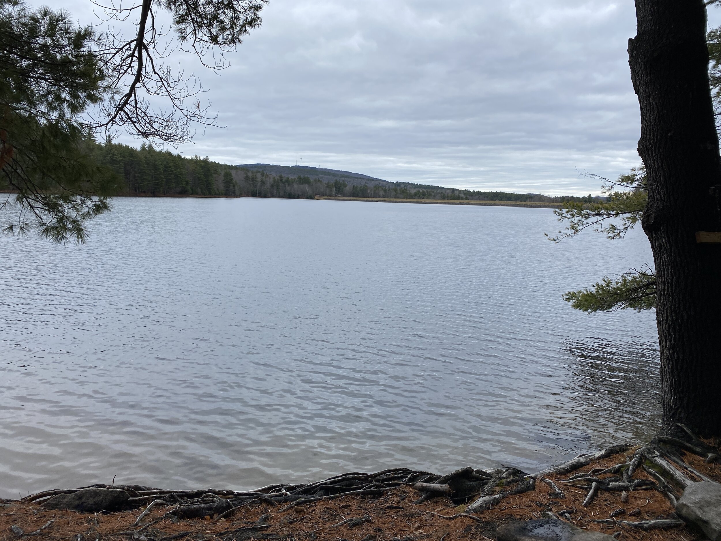
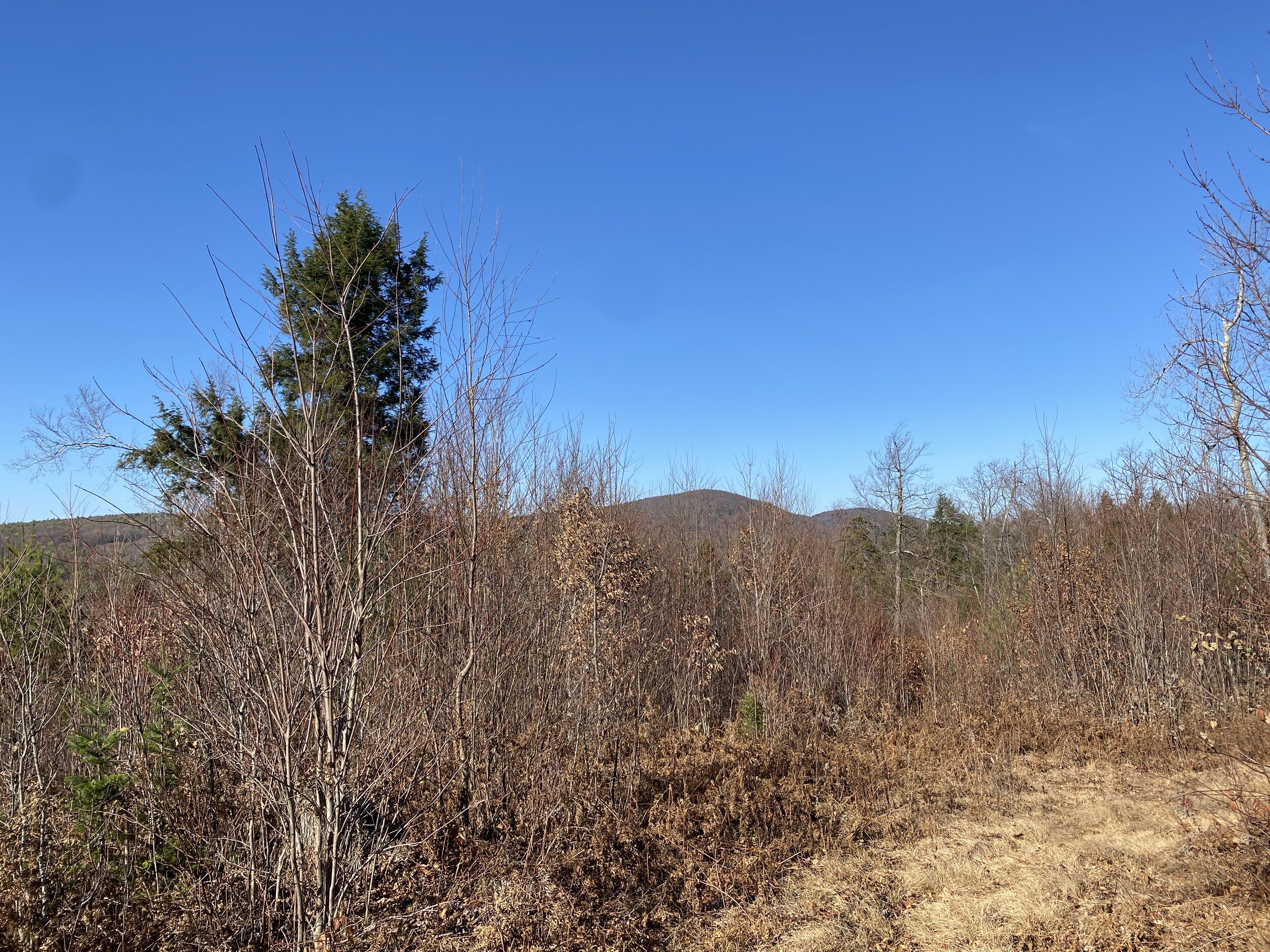
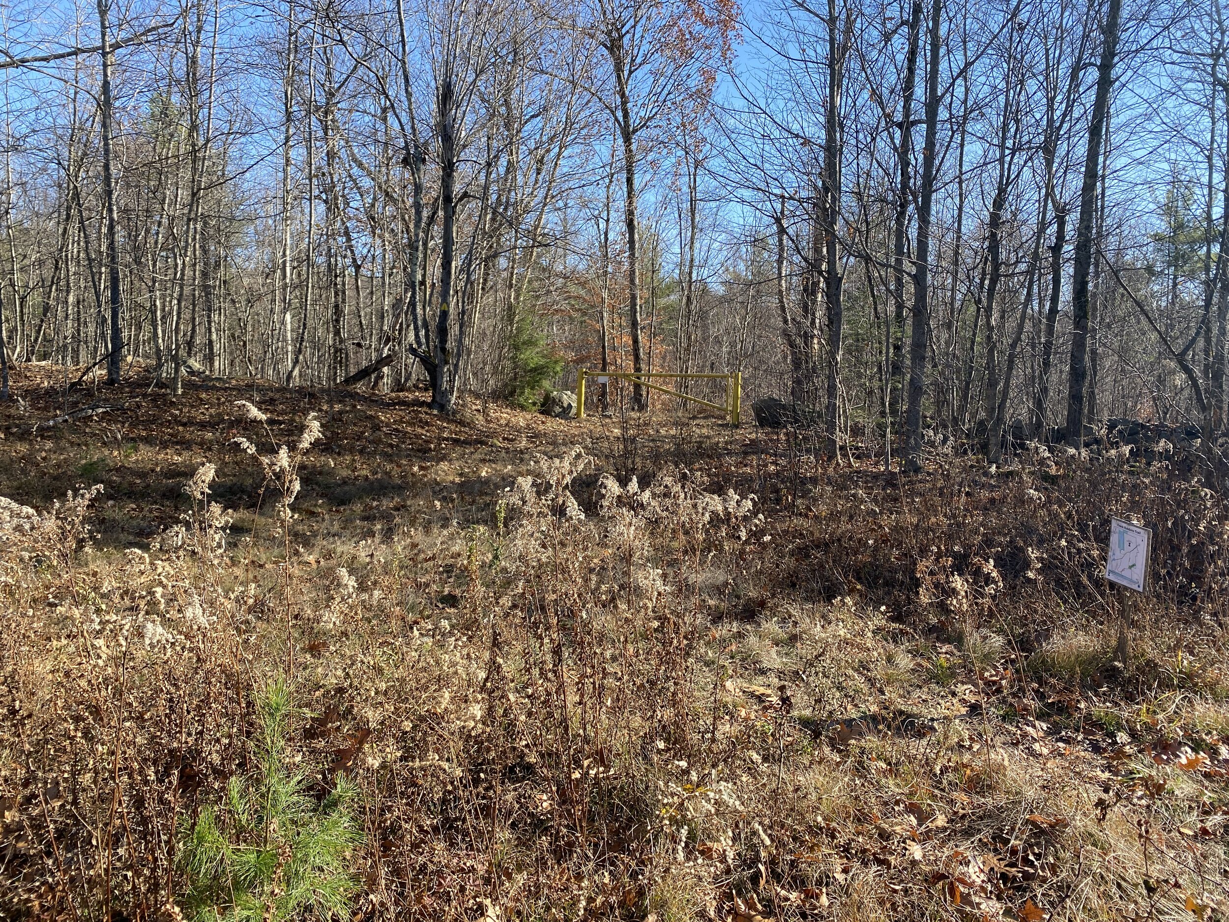
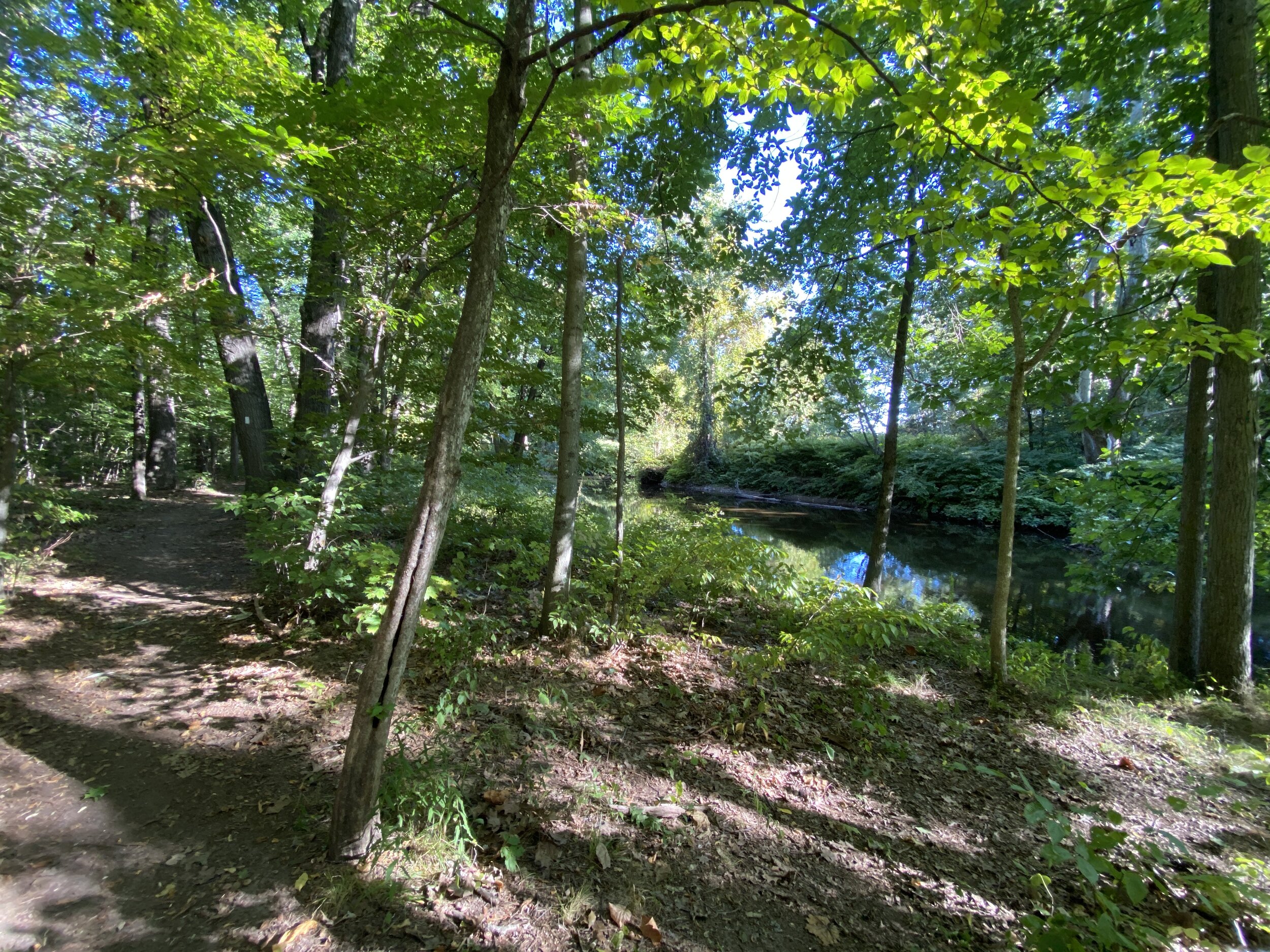
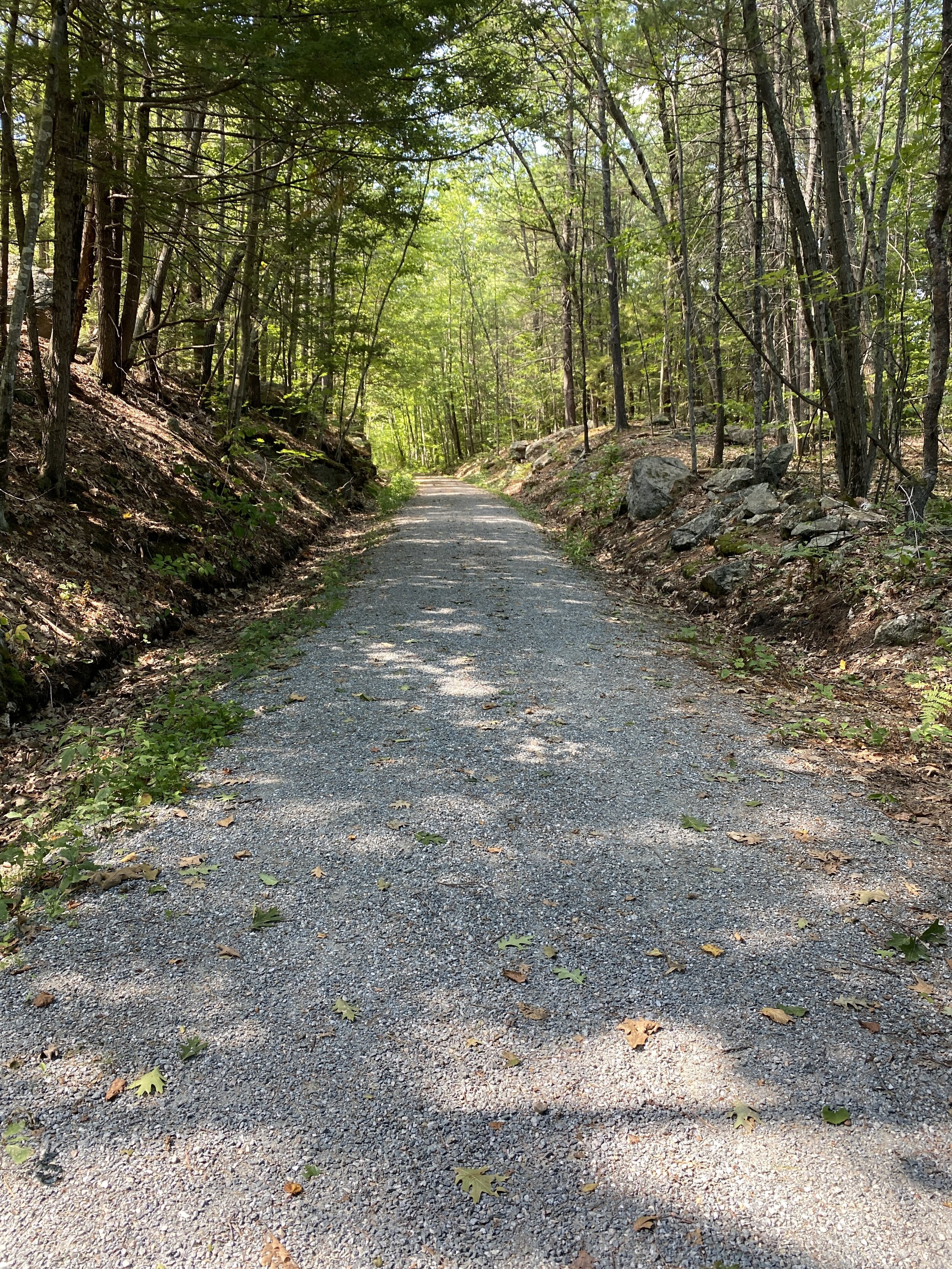
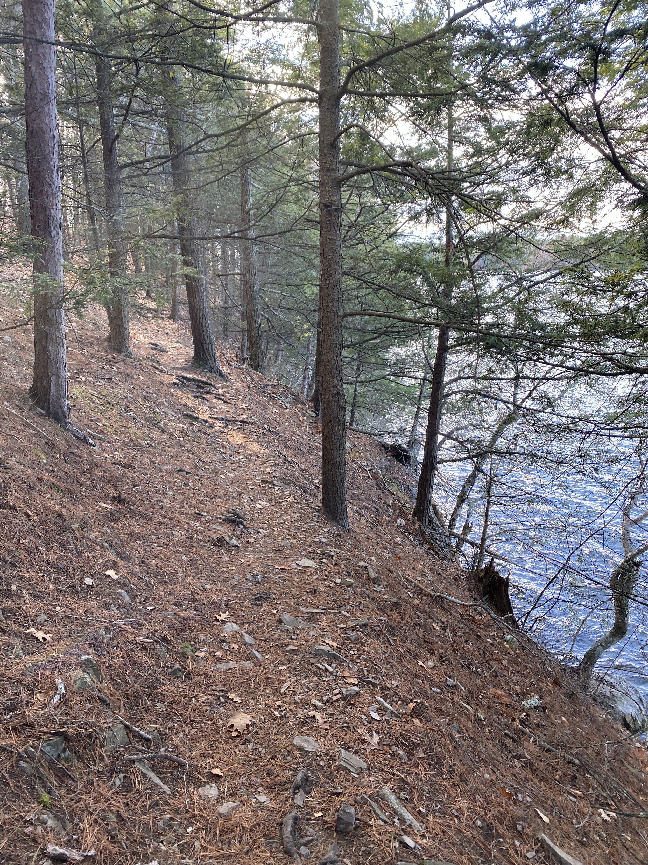
The trails are flat. There is not a lot of signage or trail markers, but the trail is fairly easy to follow as it goes along the edge of the bay.

D618152C-155A-462D-91CF-F22EFE752C4D.jpeg

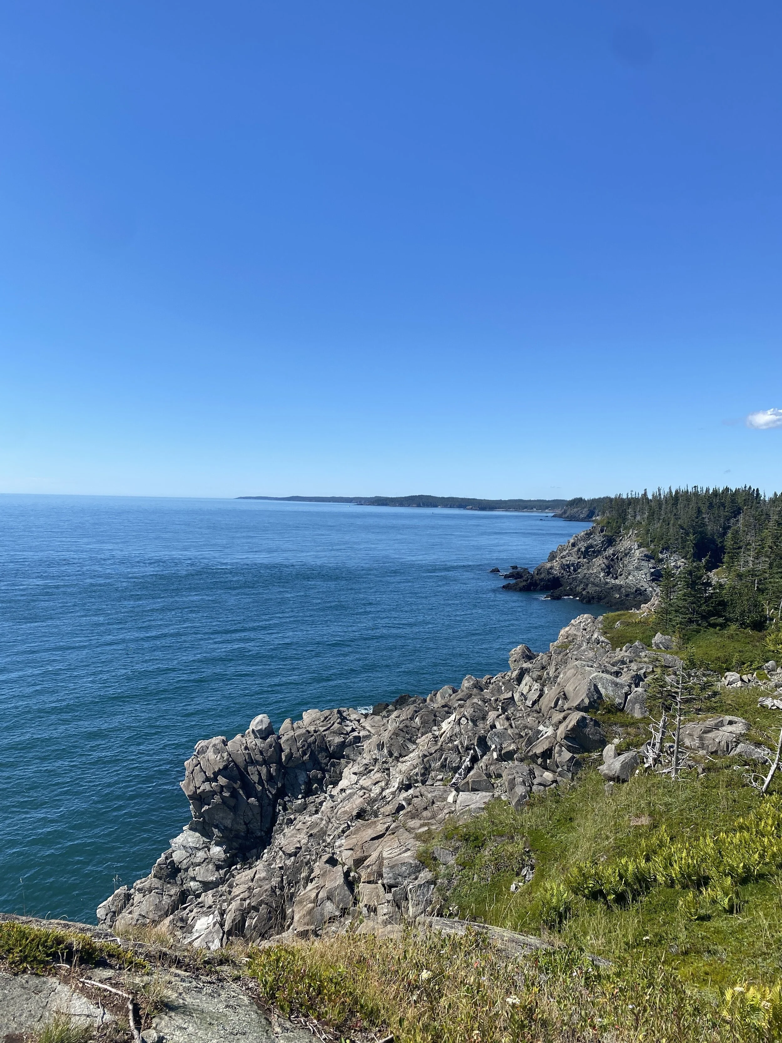
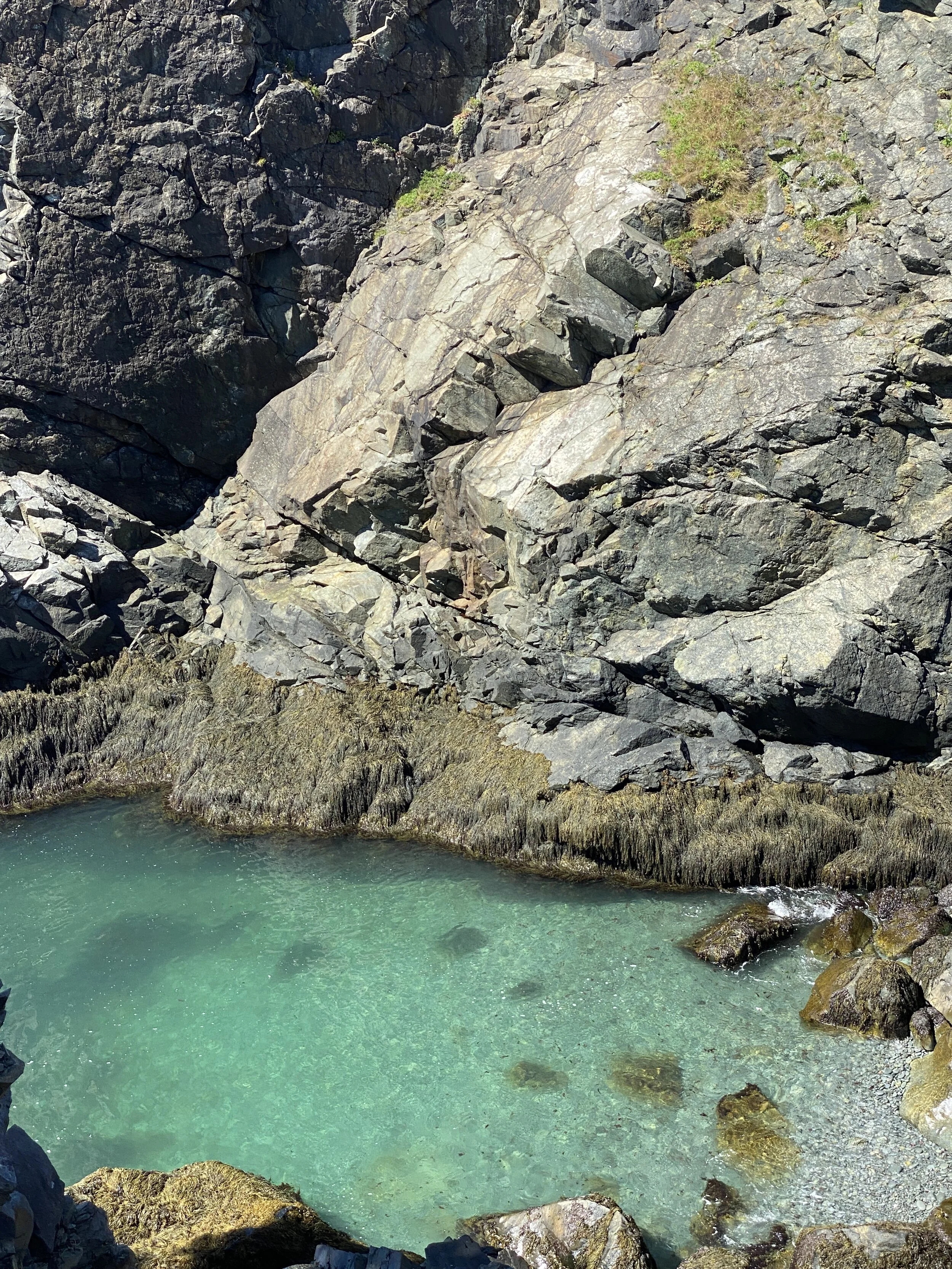
The only caution I give for this trail is it is narrow in some places with a steep drop off into the water. If I was walking with young children I would make sure you keep an eye on them.

33C104EC-51E0-41A3-85B2-1875457CAD5B.jpeg

Overall we enjoyed this hike around the point. This is a perfect place for a nice walk in the woods with some beautiful views of the bay. If you are looking for lunch while in the area check out Stoneface Brewing.

B4C6FB0B-6067-4DA6-B682-E9E1C86F0F5C.jpeg

Ruth LeClair Trail at Gunnison Lake

Milage: 3 Miles

Difficulty: Easy

Loop Trail

Dogs allowed on leash

The Goshen Ocean referred to by locals is a hidden gem. Its formal name is Lake Gunnison which is a man made lake that provides opportunity for swimming, hiking, kayaking and just enjoying some beautiful scenery. Located off Rt 31 on Gunnison Lake Road in Goshen is the parking lot for the start of the Ruth LeClair trail and access to the water.

The trail is a loop and goes along the lake. We started by walking across the dam.

61434A5A-CF27-400E-8FAF-5AD52798A409.jpeg

Once across the dam, the trail starts on the left and is marked with a sign.

C9C68A06-CA69-4086-AB45-6F87932BF3EA.jpeg

The trail meanders through the woods and around the lake. The trail is easy to follow with a well worn path and yellow trail blazers.

EFC6A0AA-235D-45DE-8CDE-256066A1F70B.jpeg

There are several view points to get a good look at the lake.

E1B6F075-50A5-47B6-A06A-2FC7DBB783F9.jpeg

The trail is relatively flat. There are a couple little hills, but easy walking overall. The path does cross over some private properties so please be respectful of it. There are also a couple bridges to cross.

2D73270F-39A4-4724-B62D-C6426FDED9CD.jpeg

There are a couple spots where you can stop and take a dip. One spot has a picnic table and what looks like an old rope swing. The bottom looked really sandy.

17A8FB84-7ADC-4DBA-B657-A180E746DECD.jpeg

The loop is around 3 miles. We really enjoyed it. We saw two male bald eagles flying around the lake. There is also a view of Mt. Sunapee. I cannot wait to go back during the summer months and explore the lake for swimming. If you are in the area, I highly recommend checking out this trail or the lake for swimming or kayaking.

Frank Robbins Trail

Milage:2.75

Easy side of Moderate

Loop Trail

I love when there is a new trail to explore. The Northeast Wilderness Trust has worked hard this past year updating the Frank Robbins Trail.

The Trailhead is located on Binney Hill Road in New Ipswich. After you leave the tar onto a dirt road there is a small parking lot on the right that can fit 3-4 cars. From here Binney Hill Road is pretty steep and rocky, it would be difficult to get a car up the road. From the parking lot start walking up the road, which is fairly steep for a little over a quarter of a mile.

E3355B51-D44D-4E15-8F86-A661B67251CD.jpeg

Continuing walking along the road until you come to a Kiosk and intersection of the Wapack Trail on your left. It almost a half mile from the parking area.

E20C9CD3-D682-40A1-901C-6407A9921F12.jpeg

This is the start of the Frank Robins Trail as well as part of the Wapack. There is a map on the Kiosk if needed. The trail is a loop.

We chose to continue straight down the road. Follow the yellow triangles that mark the Wapack Trail. A little ways up the trail on the right the Wapack Trails turns off towards Binney Hill Pond and Pratt Mountain.

E2724C0B-F573-4106-B35C-4C7D486FC2A1.jpeg

Continue down the road, you will observe white trail blazes marking the Frank Robbins Trail. After walking a few hundred feet the trail leaves the road and goes into the woods. It is well marked with double blazes and a trail sign.

07A0EB52-6779-4E6F-B8D6-89EE688739F6.jpeg

From here the trail meanders through the woods and up and down small hills. The trail is very easy to follow.

6794F4E0-4F51-4F67-9A70-66D0E834CE8A.jpeg

Unfortunately there is not much of a view point. At one point you can get a glimpse of Pratt and New Ipswich Mountains. My guess is when there are leaves on the trees you cannot see these mountains.

60F0F346-205D-4BD9-9040-8041CB790FF0.jpeg

As you are looping back around you will come back to the Wapack Trail, which is marked with a yellow gate and yellow triangle blazes. If you go right you will head towards Mt. Watatic. If you bare left you head back towards Binney Hill Road.

6AEB682A-641E-4DE8-BBA9-008C449AF662.jpeg

You will arrive back at the Kiosk and will turn right to head back to the parking lot. I enjoyed the trail, it was a good workout and a nice walk through the woods. Unfortunately, there are little to no views along the trail. The whole hike from the parking lot back was about 2.75 Miles. I am glad that I have this trail close by as well as options for other trails at this location.

Fells Mansion and Hiking Trails

Distance: Varies

Difficulty: Easy

I love Groupon for many reasons, but the biggest reason is finding very inexpensive ways to visit local attractions. The Fells located in Newbury, NH on the shores of Lake Sunapee, is a wonderful historical mansion, gardens and hiking trails which are all my favorite things. The Mansion is open Memorial Day thru Columbus Day. The trails are open year round with a small fee at a kiosk.

We visited Columbus Day Weekend. I did make a reservation for the Mansion tour, which I highly recommend. We arrived about a hour prior to our reservation so we could explore the grounds.

The main parking is about a quarter of a mile from the mansion. There is small parking lot closer if you can not walk the distance. It is an easy walk down a dirt road.

The gardens were beautiful. The only downfall was the water features were not on because it was later in the season.

E6987ED3-AEE5-4EF1-ADAA-3DE1EBCBE7C7.jpeg

I loved the sculptures around the grounds.

E07C52BD-C7B4-4B65-83D0-D114D12FF744.jpeg

I would love to see the gardens when everything is in bloom.

In order to view the mansion you can take self guided tour or you can join a tour. I highly recommend joining a guided tour to learn about the history of the John Hay family, the owners of the estate.

After our tour we hiked the trails around the mansion. Make sure you grab a map so you make sure you walk all of them. I loved how the trails took you along the edge of Lake Sunapee.

EDB266C4-46B9-4168-A640-811B5B805A22.jpeg

If you want a further hike make sure you check out the trails across the street from the parking area.

For the younger kids there is a fairy garden where they can build a fairy house, a couple tree swings and some fun paths to run down.

0541294D-54B2-42DA-A71D-6EA91A1326F9.jpeg

If you are in the Sunapee area I highly recommend spending a few hours at The Fells. While you are in the area make sure you check out Clark Lookout Trail for some spectacular views of Lake Sunapee. If you are looking for a bite to eat, I recommend grabbing a beer and food at the Flying Goose Pub.

Clark Lookout Trail

Distance: .4 Miles Oneway

Difficulty: Easy

Located right off exit 12 of Interstate 89 in New London is a short trail that provides a stunning view. After exiting the interstate pull into the Park and Ride on Rt 103A. Across the road is the trailhead. After walking a few feet up the path you come it a small kiosk and free lending library.

D862A088-7FC1-4AA2-B2D3-C5061A2F606D.jpeg

Front here you take a left and walk up a gravel pathway.

B46D6948-B069-4CB9-9A12-5357862C4A04.jpeg

It is a steady incline until you reach the top, where you are greeted with the most stunning view of Lake Sunapee and Mt. Sunapee.

48BFFEF6-EEFF-4365-ABAA-5178A933C50E.jpeg

For such little effort, the views were spectacular. A great place to sit and enjoys the beauty of the Sunapee area. If you are looking for a bite to eat or a beer I highly recommend checking out The Flying Goose Pub. If you are looking for a little history, stop by The Fells.

Berry Pasture Trail

Milage: 1 Mile to Wapack Trail Intersection.

Difficulty: Easy side of Moderate

Fall is my favorite time to hike. When I get to check out a new trail during the fall foliage season, it results in a perfect afternoon. Located on Mountain Road across from the Old Sharon Arts Center in Sharon is the Berry Pasture Trail. Mountain Road is not maintained in the winter and is a dirt road. The trailhead is located about 1-2 miles on the right. The parking lot is fairly large and rocky. There is also a small sign on a tree marking the trailhead.

The trail starts out to the right of the parking lot where you follow blue triangles through a fairly recent clear cut. The trail starts out with an incline.

E78F5C0C-AFAA-4D7B-849F-3A91EF5F41AD.jpeg

The trail continues on a gradual incline. About a half mile up make sure you look behind you for the stunning views of Mt. Monadnock.

BBB0570C-089D-4DEF-ABBF-C68ED97F805B.jpeg

The trail continues up. There is little to no flat walking on this trail, it is a continuous incline. The trail is a little overgrown and I could see evidence of blueberry bushes

168B67EF-E3BE-4404-A442-31200ABA9452.jpeg

The last quarter of a mile the trail gets a little steeper. Then you come to the intersection of the Wapack Trail. If you go right you head towards the Sharon Ledges.

10B07025-8091-40B3-B52B-6178F658FEDD.jpeg

If you go left and walk about a tenth of a mile there is a nice look out towards Mt. Monadnock.

E5ACAC7A-401A-4AF2-B40E-DE4FCE005F19.jpeg

If you continue on this trail you eventually come to Temple Mountain.

This has become one of my favorite trails It was almost a mile to the junction of the Wapack Trail. Given this trail being a steady incline all the way to the junction I would classify it as moderate and good for those who have done some hiking and older children.

Souhegan River Trail

Distance: Varies, but up to a couple miles.

Difficulty: Easy

Located on North River Road Milford before Fitches Farm is the trailhead for the Souhegan River Trail. I have driven by this trailhead several times going to Fitches Farm Stand or Trombly Farms and finally stopped to check it out. There is a decent size parking lot with a kiosk. Directly behind the kiosk is a dirt road, that is not the trail. The trail bares left into the field.

D9FAAEA3-A0EE-4C51-B40A-F627DCCCE018.jpeg

The trail is fairly easy to follow with trail signs. There are some side trails. There is a trail map, but I did not find it very helpful.

Parts of the trail follow along the Souhegan River. There are several spots you can walk down to the river.

DABFF6BE-E9A0-4522-937E-B00FE711EEEB.jpeg

As you are walking down the trail there is an intersection. You can bare left, I am unsure where that goes. I followed the trail to the right, over the bridge, following the white trail blazes.

504A8E38-5C9C-4ED4-A5AC-B9A9D0CD72F3.jpeg

The trail continues winding through the woods or along the river.

B6441ED4-19D3-4E22-8809-1ABF914F4A88.jpeg

We went over another small bridge that was a little difficult to cross with high water. We continued through the woods. The trail came out into a field. From here I believe it went left. We stopped here and turned around. The map says the trail is 1.3 miles long I believe this trail connects to the trail near the Milford Oval, but I am not certain of that.

From the Post Office is Milford there is a small park that is the start of this section of the Souhegan River Trail.

The trail meanders along the river and behind the Boys and Girls Club of Milford. There is a large footbridge that goes across to Key’s Field or you can continue straight. I have not gone this way so I am not sure where it ends up. Someday I will explore it to see if it connects to the rest of the trail I talked about at the beginning of this blog post.

This trail is a nice walk in the woods with beautiful river and woods views. This is a popular place for dog walking.

If you do decide to walk this trail make sure you stop at Fitches Farm and Trombly Farm to check out their fresh items.

Boot Head Preserve.

Distance: 2.5 Miles Loop

Difficulty: Easy

We met at Boot Head Preserve on Boot Cove Road in Lubec Maine. There is a small parking lot for about six cars. We hiked a two and half mile loop that was pretty easy to follow. You can check out the map as there are a couple side trails.

The trail is fairly flat with some small inclines. You walk through a beautiful forest of moss and some foot bridges.

4B57C59C-CAAA-4078-A84E-E820EDA36B18.jpeg

One of the side trails is down to a rock beach. The first lookout over the Atlantic Ocean was beautiful. There is something about Maines rocky coast line that is breathtaking.

CA415287-E3D6-4261-83DA-E3C234CDD9F0.jpeg

A little further down the trail was another lookout with a bench.

B262B17A-794E-47A9-9DC8-53DDEC3202FA.jpeg

I was mesmerized by the turquoise water in several of the coves.

C06C48FD-DBDD-4FE4-83C8-0321F60F36DE.jpeg

On the loop back there was another side trail to a bog. Most of this trail was foot bridges.

71B3499A-3A62-4E46-B719-54D0177FD107.jpeg

That led you out to a pretty little bog.

BEC064D5-DC81-4BF6-AE91-8D1736F7A7F1.jpeg

Overall, I loved this hike, it was easy and great for children and beginner hikers. I loved the views of the undeveloped coast line. Most off all I loved reconnecting with an old friend even though it had been 20 years since last seeing each other, it seemed like not much had changed expect we were both married and had kids.

Pondicherry Wildlife Refuge

Distance: 5 Miles Roundtrip

Difficulty: Easy

On a recent camping trip to Mountain Lake Campground I wanted to get a hike in, but was not feeling a 4,000 footer. I have had the Pondicherry Wildlife Refuge saved in my to do list for a while and since it was only about 20 minutes away from the campground it was the perfect time to check it out.

The trailhead is located on Airport Road in Jefferson, NH. There is a good size parking lot. The start of the trail is like an old railroad bed.

67722286-04E9-47E7-B837-501564B4F041.jpeg

Make sure you look off to your left as you are starting up the trail to check out the view.

C0CD3A4D-2694-4DB4-A2E2-3CC5E83AD1C8.jpeg

About a mile and half up the trail you see a sign for Pondicherry Wildlife Refuge.

26D2B914-3AAB-4745-9E38-440C3A70AA15.jpeg

Here is a split in the trail. To the right the trail continues like a rail trail and we saw a couple people biking. We went left which brought us out onto some railroad tracks.

As you walk down the railroad tracks there is a side trail off to the right called The Shore Path that brings you along the shore of Cherry Pond with beautiful views of the White Mountains.

6CB7571A-DBFF-4353-A36C-A0044138CB6D.jpeg

The trails loops back around to the train tracks. Where you walk further down the tracks.

A47CF2C3-7915-47DB-9C19-CCB9DCCF4CC8.jpeg

There is another trail loop off to your right that gives you more views of the pond. When it comes back out to the tracks you can go directly across and walk the Little Cherry Pond Trail Loop. The trail has some nice boardwalks.

F9CF3BAE-C7AF-4545-8B30-6FF2E7F519E9.jpeg

This loop brings you out to Little Cherry Pond, the views are not as pretty, but they are still nice to look at.

61E6BEAC-3485-4002-A0B0-EC2A862A090D.jpeg

After visiting the pond you loop back around to the railroad tracks where you walk back to the parking lot. The whole hike was about five miles and the trail was flat with no elevation gain. We really enjoyed this trail and would highly recommend checking it out if you are the area. It is always nice when you can sit and enjoy the view.

D27BC0A7-C540-4F92-883F-4AF7A9692903.jpeg

The Basin

Distance: 1 Mile Loop

Difficulty: Easy

Located in the White Mountains of New Hampshire is a popular tourist destination. The Basin is located just south of Cannon Mountain and has exits on the North and South Bound sides of Interstate 93. As many times as I have been to the White Mountains I have never stopped to see it.

On a recent visit to the White Mountains I finally decided to stop. There are two separate parking lots, one for north bound travelers and one for south bound travelers. Please note that these parking lots can fill up quickly so you may not get a parking spot. The trails are well marked, but they are also very worn. The day we visited it was fairly crowded. I have to say I was disappointment in the amount of people, the trash and the evidence of people walking off the trail. There are options to connect with longer trails, but we did not stay enough to explore them.

The crystal clear water and flat rocks are beautiful.

0710AE70-7A92-47C0-B402-A3E9B17E95D8.jpeg

The Basin itself if gorgeous. I would have loved to jump in, but there is no swimming there.

E87A0C34-59D5-46D6-B37A-D6334B894FDB.jpeg

Overall I am glad I stopped and got a quick mile in walking around and have checked this off my places to visit. Due to the crowds I have no desire to return. I will stick to the less crowded trails.

Greenville Mason Rail Trail

Distance: 7 Miles

Difficulty: Easy

Also good for biking, horseback riding, snowshoeing and cross country skiing. Caution in the winer snowmobiles also use this trail.

I love Rail Trails as they are multiple purpose for all seasons. Located on Adams Hill Road off of Rt 31 in Greenville is the start of the Greenville Mason Rail Trail. This trail is a dirt trail that goes from Greenville down to Morse Road on the Mason, NH/Townsend MA Line. In the spring parts of the trail can be muddy. In the winter snowmobiles do use this so if you are walking, snowshoeing or cross country skiing please use caution.

If we are riding bikes we usually park on Adams Hill Road so we can bike the whole trail which is about 7 miles. The last time we rode bikes we found the trail a little sandy as we got closer to the state line, but that was over a year ago.

If we walk, I prefer to park on Pratt Pond Road as I like walking by the pond.

BEE206BC-C3E5-4602-B865-E0FB0C959B45.jpeg

The trail is nice and flat.

91658925-3AAC-44B6-8439-FE6673C18AFF.jpeg

There are a couple view points along the way.

427A02D7-8ABF-4ACE-9A47-5F64D312268E.jpeg

If you are looking for a great rail trail for multiple purpose use, I highly recommend checking this one out.

Mountain Lake Campground

We love exploring campgrounds. We certainly found a great one with Mountain Lake Campground. Located in Lancaster, NH is a beautiful privately owned campground. The campground is located on a small pond with spacious sites and lots of great amenities. When making reservations online you can see which campsites are available and the map provides pictures of all of the sites.

We were on site 66 which was spacious. Beside us it looked like they were getting ready to build something, but there was no construction during our visit. The only negative aspect of our site was it was rocky gravel and no grass, which is not a big deal since we have a pop up camper.

E98682E9-87BB-4656-BC17-464AD9AF6BE7.jpeg

Most of the campsites are spacious and some of them have beautiful views of the pond. There are also cabins, a yurt and a teepee to stay in.

7BC03855-6B8A-4400-A8CC-428ED71ABB9B.jpeg

There are several amenities. The pond offers swimming, canoe rentals and fishing. There is a rec hall with games, an outdoor checker and chess board, a camp store with ice cream, souvenirs and camp necessities as well as muffins in the morning. There is a mile long nature trail and a playground.

5F5E5B40-A291-453B-B354-11D82F49ED21.jpeg

The best part of the campground for our 11 year old was the heated pool with two waterslides.

97F89623-027D-4365-A2E4-739BA3E4BACC.jpeg

Overall we loved our stay here and would absolutely be back. We enjoyed sitting by the pool, walking around the campsite and enjoying the natural beauty of the area. Our daughter loved that at night the pool lite up with various colors, as well as riding her bike around the campground. The campground was very quiet and peaceful. Staff were friendly and helpful. The only downside is there is only one bathroom. If you are camping at the end of the campground it can be a little walk to the bathroom. It was almost a quarter of a mile walk from our campsite to the bathroom.

While camping there are several opportunities in the area for hiking, visiting Santa’s Village or exploring Littleton which has a great Taproom called Littleton Free House Taproom and Eatery. For that sweet tooth make sure you check out Chutters the Worlds Longest Candy Counter.

North Pond Trail

Distance: A little over a mile

Difficulty: Easy

The Harris Center has an array of trails in Hancock and the surrounding towns. I recently explored a newer trail system, The Eastview and North Pond Trails. This is a set of trails in Hancock and Harrisville. Some of the trails are part of an old railroad line.

The North Pond Trail is located on Hancock Road. If you are coming from the Bonds Corner/Hancock Road split the parking lot is about a quarter mile on the right. The parking lot is not marked, but you can see the bridge below from the parking lot.

3269ADC4-06C1-4503-88D6-DCA2725D1904.jpeg

The trail starts after you cross the bridge. Make sure you take the side trail on the right after the bridge to enjoy the full view.

70D13FB1-A1AD-42ED-B447-ACC5AE932A0C.jpeg

After coming back up to the trail you walk along the old railroad bed on the Eastview Trail.

A42EA5B4-1923-4A7D-85D3-9CE07DB56932.jpeg

About a quarter mile along the trail you come to a split. You can continue straight which is about a mile to Jaquith Road or you can take a left on to North Pond Trail.

B070F572-8CE1-408E-88AD-89551D7800B3.jpeg

This trail leads out to North Pond. The trail is fairly flat and rocky. The trail follows along the edge of North Pond. I was a disappointed there was not much of a view of the pond while walking along the trail as the view was obstructed by trees.

096F7214-2CF5-4C9C-ACA9-DD66B7E6887E.jpeg

We walked along the pond until we came to a small stream we had to walk across and up a small hill to a blue arrow sign pointing right. This is where the trail continues to the Cobb Hill Trail. If I were to estimate I would say it is about 1-2 miles to the top of Cobb Hill. We chose to turn around here and head back to the parking lot. It was a little over a mile to this point.

Overall, I would like to explore these trails again. The woods are pretty, but there is not much of a view. The rail trail section is good for someone looking for a nice flat walk. The North Pond Trail is very rocky. Both trails are well marked and good for beginners.

Crane Beach

Located in Ipswich Massachusetts is the most beautiful beaches I have been to in New England. Crane Beach is located on Argilla Road. If you are a Little Women fan this is where the beach scene was filmed in the lated movie. For many years we went to Plum Island and always wondered about the beach directly across the sound and it is Crane Beach.

Crane beach has some of he most beautiful white sand in New England. The long beach is perfect for walking and exploring.

7326EECC-6E8F-4D12-B276-2866A3DCE471.jpeg

At low tide the waters are relatively calm due to a sand bar several hundred feet out. This makes it perfect for young children. Like any New England beach the water can be very cold. When we visited in August the water temps were around 59 degrees.

F013E8A8-0F97-4D3A-8200-340FBF4D0E4C.jpeg

Since we visited during COVID-19 advance reservations were required. Masks were required from the parking lot to your spot on the beach, at the snack shack and rest room. They asked that parties stay 12 feet apart. This is a great beach for walking, swimming and younger children..

While you are here make sure you check out Crane Estate for some area history .

F7DD0F94-D93E-4C6F-B9BE-862B29900509.jpeg

Along with the beautiful views.

4F9BF92F-E5DF-4386-826B-0CB52B821177.jpeg

This has become of one my families favorite areas to visit.


Tree Swing

Finding gifts for a preteen that does not involve electronics can be a little difficult. Every year for my daughters birthday she is allowed to pick either a place to visit or a gift. She has always picked a place to visit. With Covid this year the places she wanted to go we were not comfortable with so we decided to take her and her and a couple of her friends to the beach for the day and get her a gift. Eleven is a hard age to shop for. The items she wanted kept her inside. As my followers know, I prefer my family to be outside as much as possible. My husband and I went back and forth on what to get her.

Last year while visiting friends camp in Maine they had this wonderful tree swing that my daughter basically lived in the whole time we were there and continued to talk about for the next several months. We decide to splurge and get her the swing.

The Trekassy Tree Swing for Kids and Adults was a splurge at $140 on Amazon. We hung the swing on a tree in our backyard. Due to the height of the tree branches we did need another set of adjustable tree straps so my daughter could reach the swing.

971BE073-B3BE-40D1-8CD0-A433F0D46C01.jpeg

The swing is perfect for the preteen or even teen in your life. It holds up to 700lbs so a couple friends can swing with her. My husband and I have even enjoyed the swing.

53FDA0AD-2997-4D4D-A4F7-EDEF5F5EB876.jpeg

We have had the swing for about a week and really enjoy swinging on it. The swing was well worth the purchase. Our daughter has used it everyday and has told all her friends about it.

This page contains affiliate links for which I may receive a small amount of compensation at no cost to you.

Small Falls

Located to the east of Rangley Maine on Route 4, is a great waterfall for exploring and swimming. If you are heading towards Rangley the parking area is on the left and is marked with a sign. At the parking area is outhouses/changing facilities and several picnic tables. The day we visited it was very busy so we just stayed long enough to check out the falls.

It is short walk down to the falls. There is a bridge that crosses the Sandy River. Here is a shallow area to swim and get up under the falls.

87F3147E-65FE-4E8D-802A-62FCC3848A1A.jpeg

If you want a little more adventure you can walk up the left side of the falls to another area where there were people jumping in.

IMG_3175.JPG

As mentioned above the falls can get very busy, but it is pretty to check out and looks fun to swim in.

While you are in the area make sure you head into Rangley to walk through downtown and grab lunch and a beer at Furbish Brew House and Eats.

9EA170E8-AB57-464D-A426-E986F4AE2D86.jpeg

Center Hill Nature Trail

Distance: .5 miles loop

Difficulty: Easy

Mt. Blue State Park in Maine has an array of hiking trails of all abilities. Over ten years ago my husband and I visited this area and hiked Tumble Down Mountain which is roughly 4 mile round trip moderate hike. The pay off is a beautiful mountain top pond. Unfortunately I have no pictures from that day, but remembered how nice it was sticking our feet in the pond at the top.

There are several other trails in the area and recommended checking out the trail map.

When I was looking for hiking trails during this past visit I wanted a relatively short hike with some views. I choose Center Hill Nature Trail. The trail is located on Center Hill Road in Weld. From the parking lot is a beautiful view with some picnic tables.

IMG_3167.jpeg

Bearing right from the parking lot is the start of a nature trail that has a variety of forest facts. The day we visited there was plenty of trail guides to follow along with.

The trail is about a half mile loop with gradual inclines. There are two lookout points. The first one provides you views of Webb Lake where Mt. Blue State Park Campground is as well as views towards Sugarloaf Mountain.

3F426E56-1768-4969-8ABB-26B37CB0B72B.jpeg

The next view is a not as impressive, but still pretty.

FE7337EB-AA6F-4A5B-8F6A-5DCD4B7B2FCD.jpeg

As you loop back around to the parking lot you get another beautiful view.

CCC1AB97-8C6C-4654-BE97-24D54F030D43.jpeg

I loved this hike for many reasons. If you are short on time or do not have much hiking experience this trail provides you with some great views. This is also a great trail for little legs as it is not view long, but gets them use to hiking.

Mt. Blue State Park

We recently got to spend the night with my parents at Mt. Blue State Park in Maine. The campground is located about 30 minutes east of Rangley, Maine in the small town of Weld. Traveling from Southern New Hampshire it took us about three and a half hours to get there. The campground was a little difficult to find and there is very limited cell phone service in this area. If you are traveling there for the first time I recommend having a map or the specific directions.

The campsites are spacious with a nice fire pit. Only a few of them have electricity.

B9E7E4D9-9740-46BB-9AE2-B19FCB342053.jpeg

With it being in the middle of the COVID-19 Pandemic there were restrictions in place such as half of the bathrooms were closed and they were not having as many programs as normal.

The campground had a lot to offer. There were a few different hiking trails.

226DA007-3618-4F4B-8AAC-5AFED76F01C9.jpeg

The best part about this campground is the beach and lake. The beach is open to day use. There is opportunity for swimming, kayaking, canoeing or if you have a motor boat there is a boat launch.

496CD7D8-E94E-4E06-9BD2-D40AB08F33C0.jpeg

I enjoyed a quiet morning walk down to the beach to sit on this swing and enjoy this view before the beach filled up.

IMG_3135.jpeg

At the beach there is rental for canoes and kayaks. There is also areas for a picnic and a small playground.

309FFC6B-EFF3-4783-90D8-C450C64155CB.jpeg

The campground staff were very friendly. The campground itself was clean, quiet and had some beautiful views. I would absolutely recommend this campground or visiting the beach for the day.

Cunningham Pond Trail

Distance: 3.5 Miles loop

Difficulty: Easy

The summer of 2020 The Monadnock Conservency opened a new trail in Peterborough. The Cunningham Pond Trail is located just past the entrance to Cunningham Pond Beach on Cunningham Pond Road. If you get to East Mountain Road you have gone too far. On the right is a small parking lot with a kiosk with a trail map.

218819B2-C2E6-40DC-A7DC-B6ADF9679A35.jpeg

The trail starts out with a walk in the woods for roughly a half mile following green trail markers. After a quarter to a half mile you come to a split in the trail. There are two options, left goes to the Red Trail and right goes on the Blue Trail.

Red Trail

This trail goes meanders through the woods and over a couple bridges and streams.

1A0B0384-7D20-4365-81A2-F8C5F41920F5.jpeg

The trail does pop out onto Old Mountain Road. We did not see any cars when we talked it. Once at the road you turn left and walk a few hundred feet until you see the red blazes that bring you back into the woods.

02B1F7EB-F494-412A-A974-A33298BC7762.jpeg

The trail loops back around through the woods and back to the Green and Blue Trail. There were not views on this trail, but the bridges and streams were enjoyable.

Blue Trail

At the junction you take a right onto the Blue Trail where you continue through the woods and over a couple streams.

061433D4-6E48-40F4-B64D-6E1B05F378EA.jpeg

About another half mile or so you come to another split in the trail. Right goes downhill and you follow the Brown Trail around Cunningham Pond. Left goes up a small hill to a field with a view. This is a loop so does not matter which way you go. I prefer to head towards the pond first.

E91A7949-3588-4085-8F8B-820D89EE3933.jpeg

The Brown Trail along the pond is an old tote road so it is easy to follow. When you get towards the end of the pond there is a gate and the trail goes left on the Blue Trail up a short hill to a beautiful field with abandon cabins.

5FA695CC-FEE9-4F03-BB70-621A8985D2AD.jpeg

The trail follows the edge of woods and provides beautiful views of Temple Mountain and the ridge line for the Wapack Trail.

1EDA93B4-B92E-4D52-A2AC-E3B6AAE02840.jpeg

If you walk out into the field you can get a view of Pack Monadnock and some beautiful wildflowers. Make sure you check yourself for ticks as this is their prime area.

988B5625-BC5D-457F-887E-57BCF3D8D540.jpeg

After a short walk through the field the trail takes a left back into the woods.

9CAF078C-A68D-4C4D-BD59-BA400D008F56.jpeg

The trail then connects back with the loop to Cunningham Pond so make sure you bare right. To get back to the parking lot look for the second split in the trail for the Red Trail. The Red Trail goes straight and the trail back to the parking lots goes left.

Both times I did this trail I got two different milages. I would say the Blue Loop is about two and half miles. This is perfect for beginner hikers or those with children.

Mt Washington Auto Road

There are a few different ways to summit the tallest mountain in New England. You can hike it. You can ride the Cog Railway to the top. There is the shuttle from Great Glen or you can drive up it. On a recent trip to Upper and Lower Ammonoosuc Falls we decided last minute to drive up the Auto Road.

My husband and I have driven up it a couple times, but we have never taken our daughter. It was $52 to access the Auto Road. It is a little over 7 miles to the top. The road is narrow, but provides enough room for two cars to pass by each other.

The drive starts up through the woods. It does not take long to get high enough to start to see some beautiful views.

E7EA6076-7666-4CFC-8A1A-E79B6D6BACE4.jpeg

There are several places along the way to stop and enjoy the view.

C1CE5264-229B-46C0-83C4-E30DDAFBB980.jpeg

Unfortunately the day we visited it was pretty cloudy and windy at the top. We were not able to see any views, but we did have some fun playing in wind. Make sure you bring some warmer clothes as there was about a 20 degree difference between the bottom and the top.

1F9A20DE-E957-47AA-A324-BC5156C406D9.jpeg

Due to COVID-19 the observatory area and facilities were closed. We enjoyed about 20 minutes at the top.

CF71A3AC-7B7F-46E9-A538-AEDCE3F0450F.jpeg

Even though we were a little disappointment that we could not see anything at the top we still felt it was worth the drive up. The high winds were pretty cool to experience. There were still plenty of views along the way that were spectacular. Use caution when driving down the mountain as it can be tough on your brakes. Follow signs of using appropriate gears.