Widow Gage Town Trail

Distance: 1.6 Mile loop

Difficulty: Easy

Located a mile past Rhododendron State Park in Fitzwilliam is a nice two mile hike through the forrest around stone walls, a large cellar whole and around the edge of a pond.

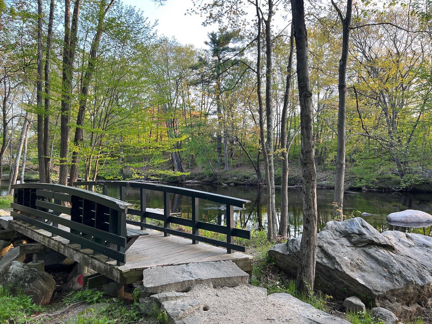
I love when I can find a hiking trail that has a nice parking lot and Widow Gage Town Trail is one of them. The parking lot is large enough to park several cars which is nice when you are planning group hikes.

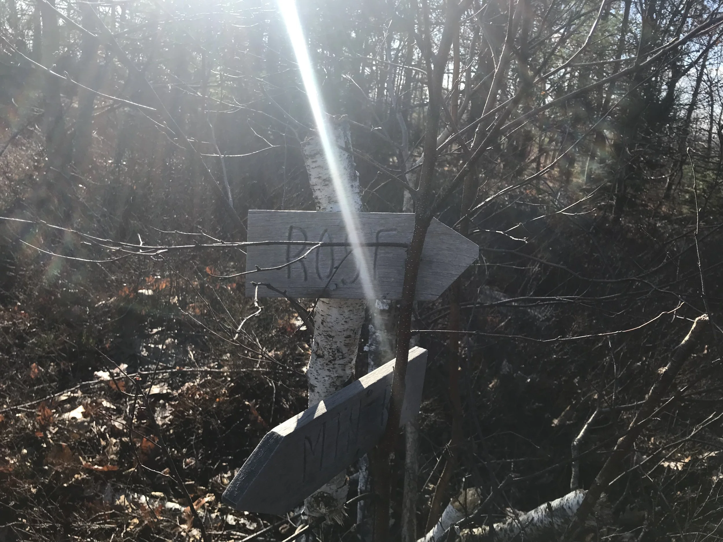
There is a small kiosk with maps to take with you. You can grab one, but the trail is well marked. There are two loops. The blue loop and the red loop. Both marked with trail markers of the color of the trail. If you do both loops it is about a total of two miles. Which is what I did the day I hiked it.

Like a lot of trails in New Hampshire there is an abundance of stone walls. Some of them seem very large. I always wonder how long it took the builder as I know most of them are very long. There is a book title, Exploring Stone Walls: A Field Guide to New England’s Stone Walls, that talks about the history of New Englands Stone Walls. I have not read the book myself, but have had people tell me they enjoyed the book.

IMAGE.JPG

When you get close to the pond there is a fairly large cellar hole. This was one of the biggest ones I have seen in the area. It make me curious to know what was here. The kids I was hiking with loved the cellar hole. I did notice a lot of beer bottles and cans so be cautious of broken glass if your kids are in the cellar hole. Also remember this is a part of New Hampshires history so make sure they are using caution not to disturb the rocks if they do go into the hole.

IMAGE.JPG

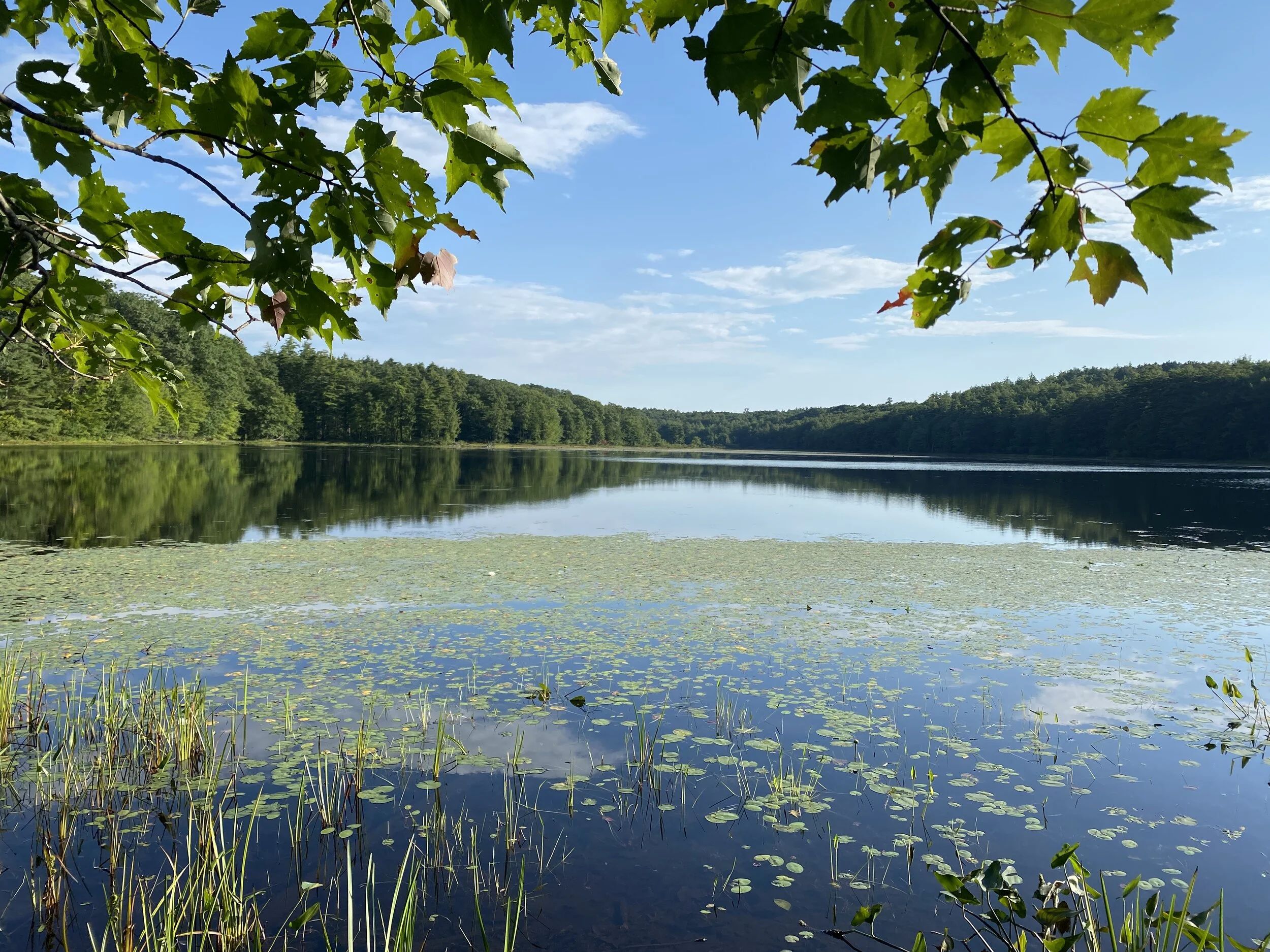
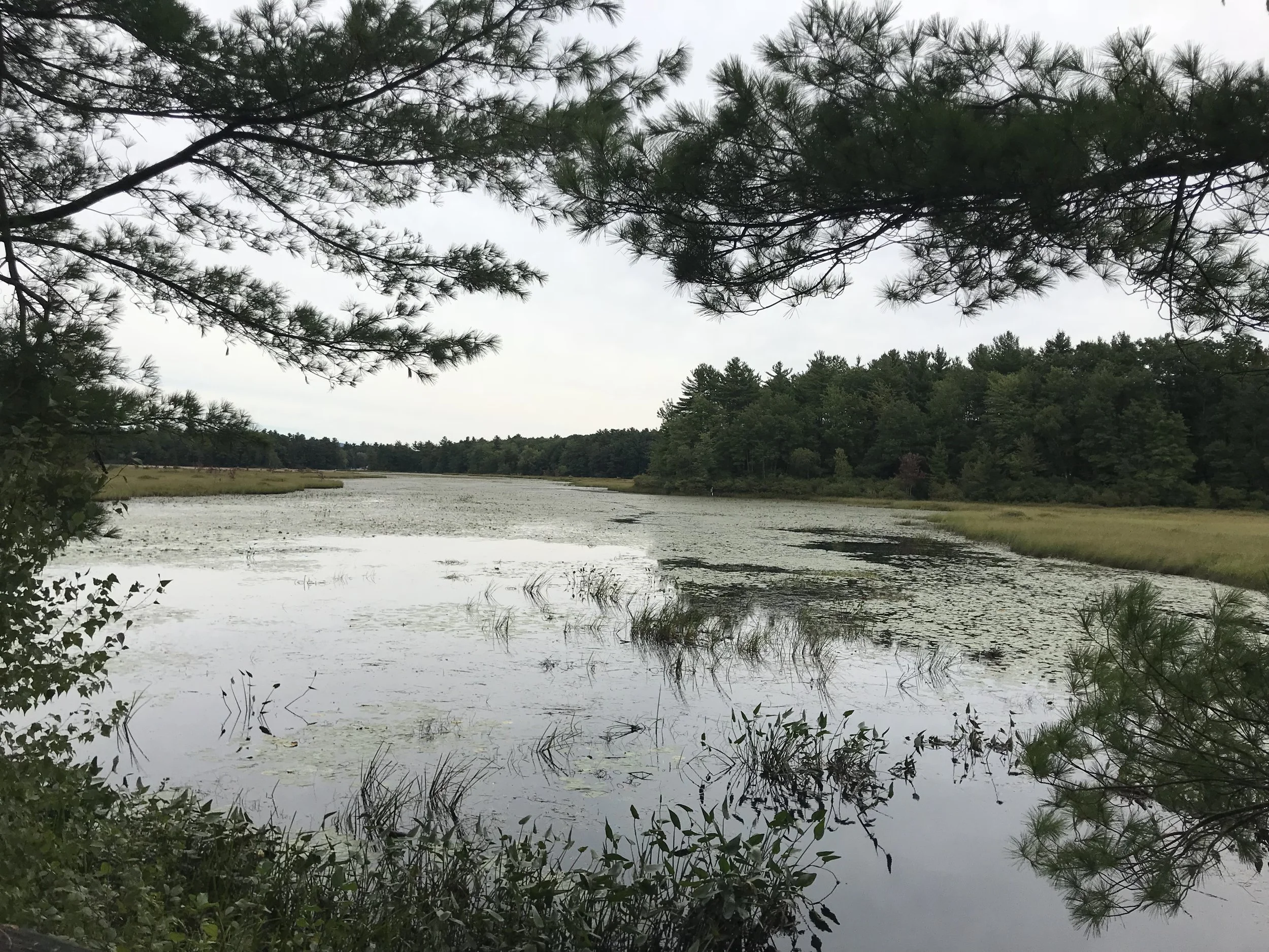
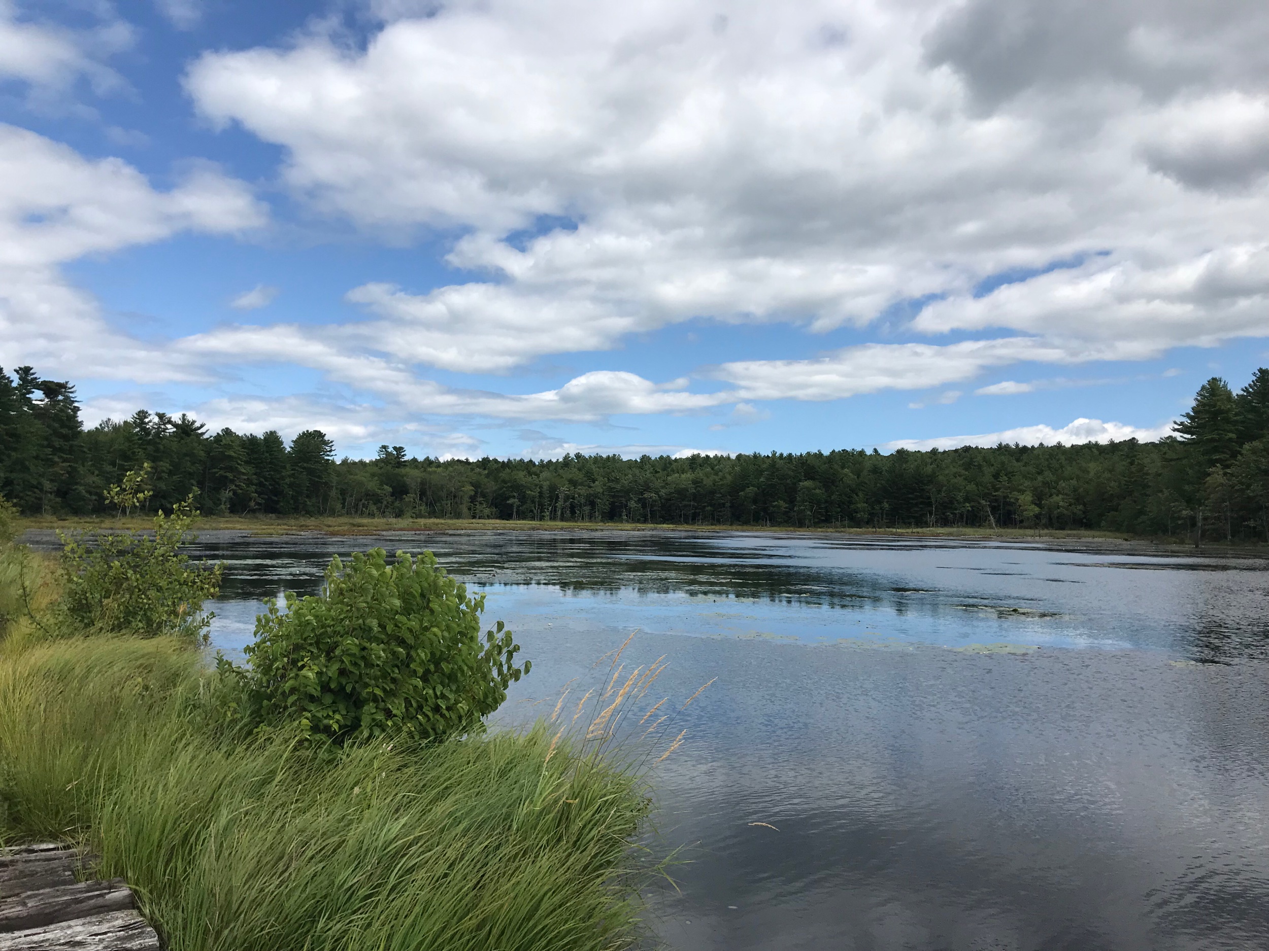
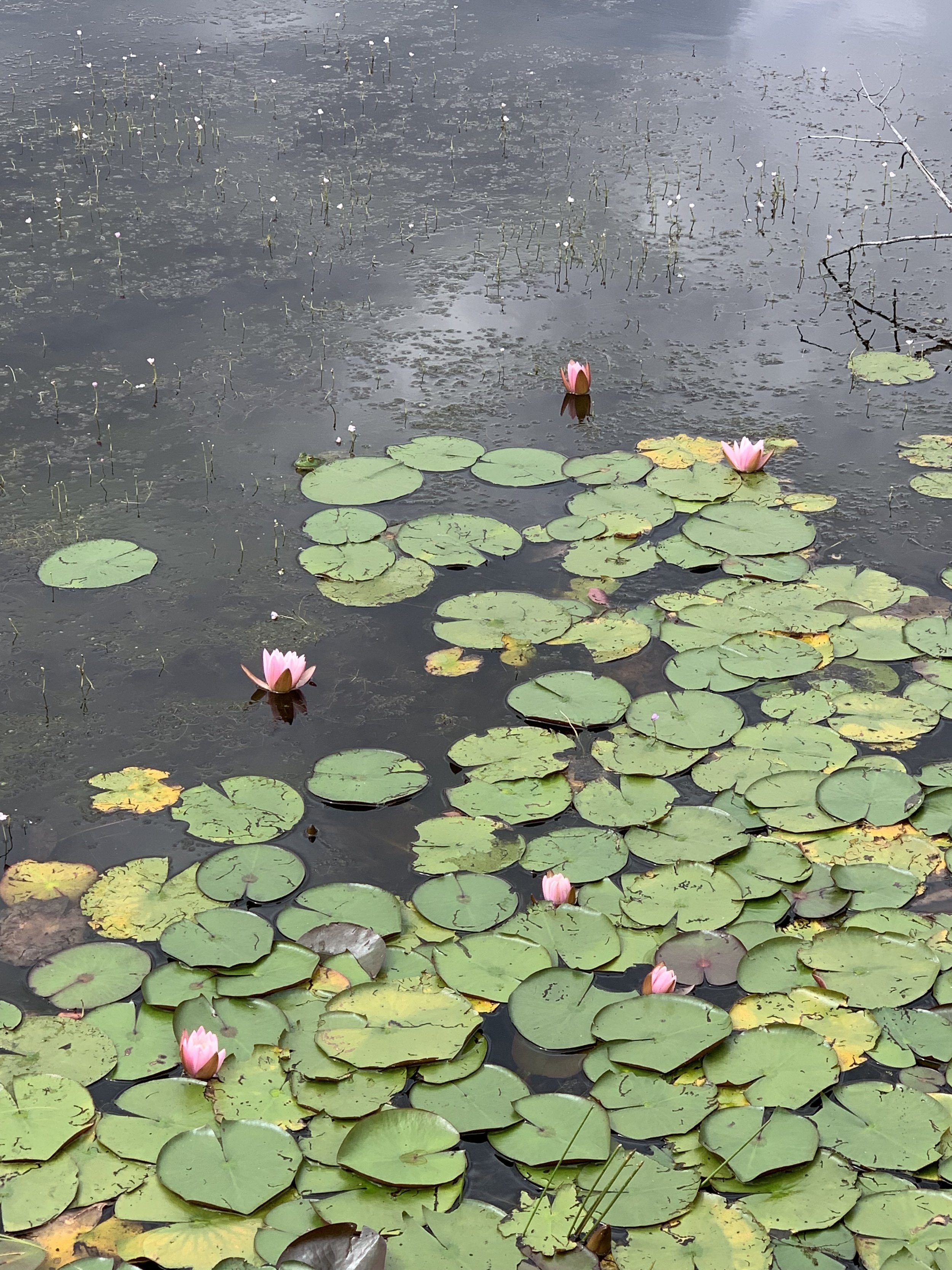
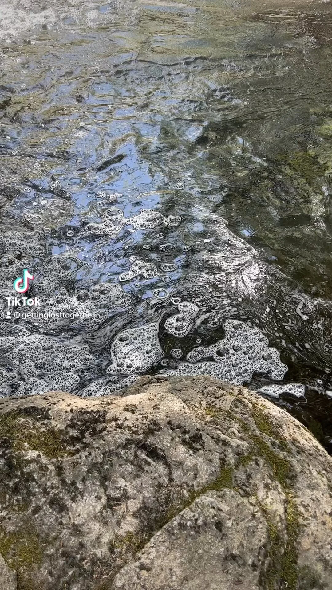
The last part of the loop before you head back to the parking lot is a beautiful views of a pond. I am not sure if this is always a pond or a swamp. It was hard to tell because of all the rain we have had lately.

IMAGE.JPG

There were a couple different view points of the pond.

IMAGE.JPG

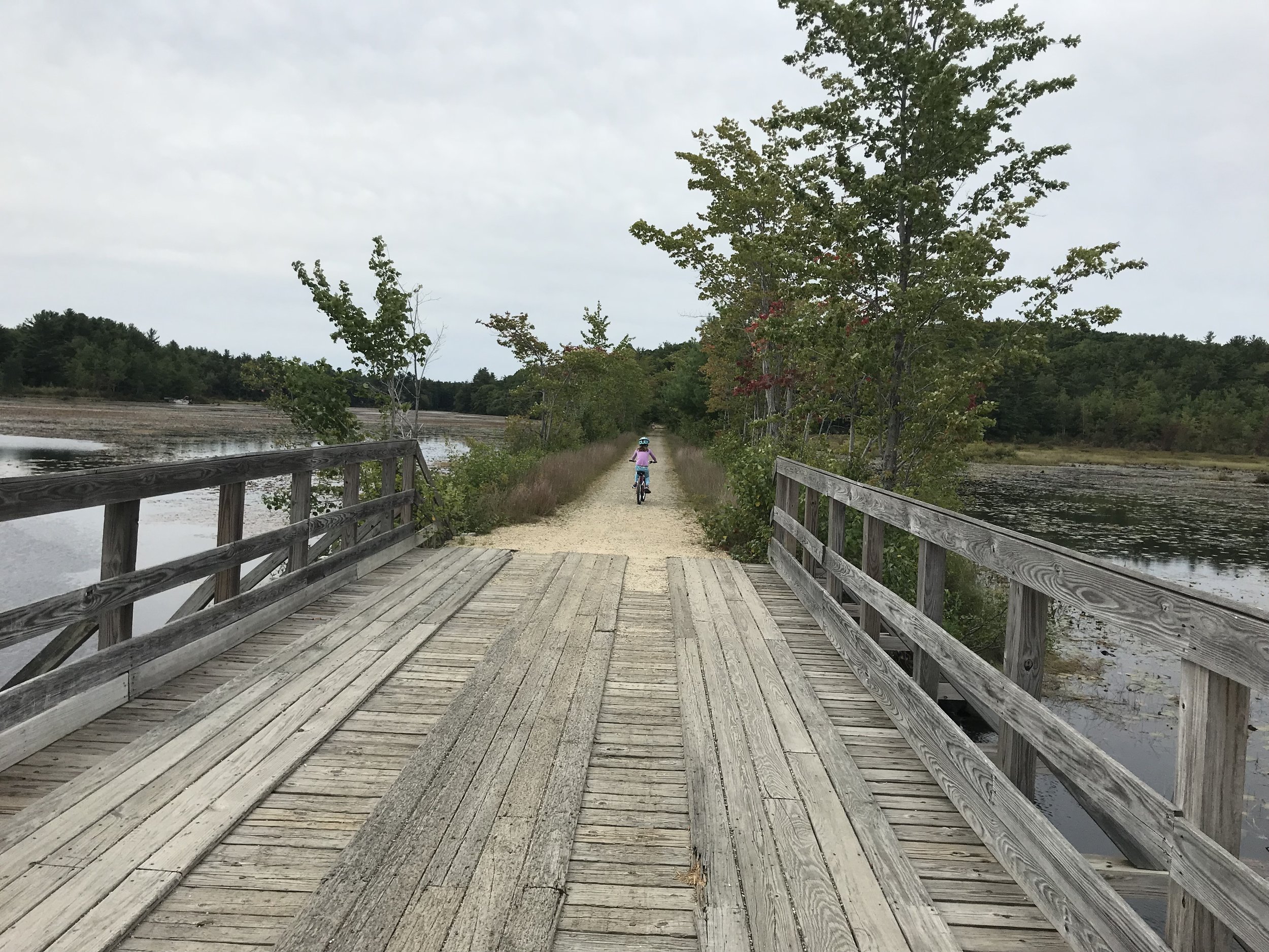
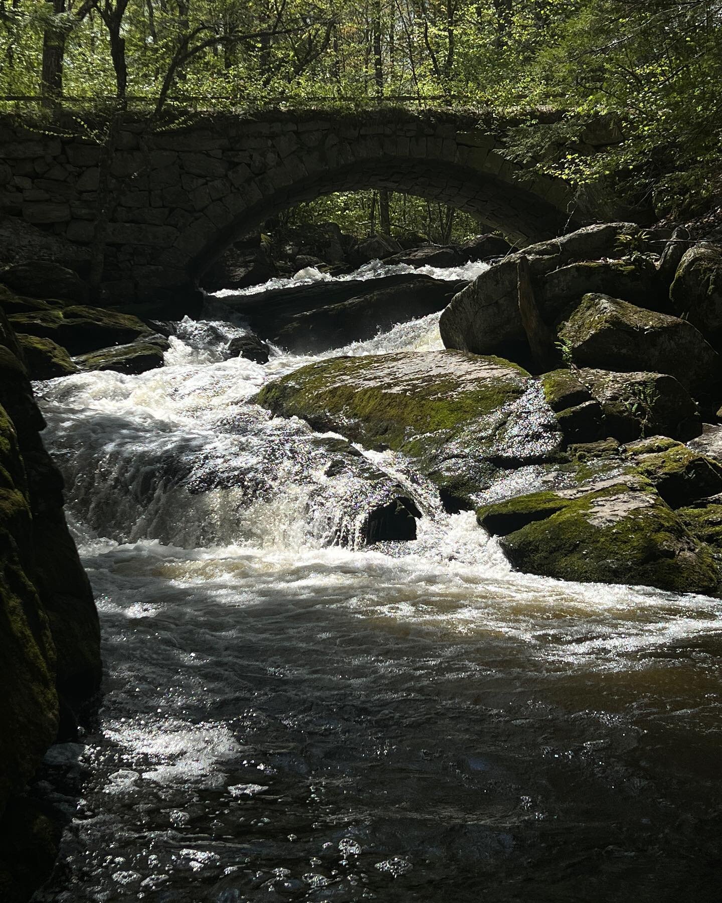
Overall, this is a great hike for beginners as the trail is easy to follow. There is minimal incline, more up and down small hills and some beautiful scenery. The kids that I had on the hike enjoyed exploring the various streams along the trail, again I do not know if they were just there because of the large amounts of rain we have had or if they are always there. Put this on your list of trails to check out.

This post contains affiliate links for which I may receive a small amount of compensation at no cost to you.

Pinnacle and Rose Mountain

Distance: 2.5 Miles to Rose Mountain

Difficulty: Easy side of Moderate

When I plan for a group hike, I try to plan the route the best that I can. Sometimes it is difficult as not all trails have a lot of information about them. I feel like I am always taking a chance when I am leading a group hike. This past weekend was no different as the trail I wanted to do had very minimal information about it, but that is what makes it an adventure, right.

Pinnacle and Rose Mountain are located in Lyndborough, NH. To access the trailhead you take Route 31 towards the center of Lyndborough to Center Road. Follow Center Road for a couple miles and then turn left onto Mountain Road. I found that if you are coming from Wilton you can put 444 Mountain Road Lyndeborough in your GPS and it will bring you to the trailhead. If you are coming west from Greenfield/Peterborough you cannot type the address into your GPS as it can send you in various directions to roads that are not passable. If you are coming for that direction make sure you follow RT 31 until you hit Center Road.

The trailhead is on the left hand side of the road, across the street from the mailbox marked 444. I did notice that the numbers were fading, but my GPS brought me really close to the trailhead and I was able to find it. There is no marking on the trailhead, but it is pretty wide opening with a stone wall nearby. You have to park on the side of the road, so make sure you park as far off to the side as you can. This may make it difficult for winter hiking.

I could only find one map on these trails. It is not the best, but it gives you an idea. Unfortunately the trails were not on All Trails either.

FullSizeRender.jpg

Once you leave the road you follow the trail up a slight incline and then down over a stream. A few hundred feet is a fork in the trail and a picture of the map of the trails, shown above. We chose to bare left. The trail has a good incline to it. It is only about 3/4 of mile to the first mountain top, Pinnacle Mountain.

IMAGE.JPG

From here you are looking towards Manchester and Concord, there are some pretty good views. Behind you is a small sign pointing to Rose Mountain.

IMAGE.JPG

We followed the trail to another lookout point towards Mt. Monadnock. This is where we got turned around. From the lookout we went back the way we came to what I thought was the trail, but I did not see any markers so we ended up turning around again. After wandering around for about ten minutes we finally discovered the trail continued from the look out that we were at.

From here I cannot give clear direction on how to get to Rose Mountain as I am not sure I went the correct way. I kept following the trail and looking at my All Trails Map. Below is the trail I marked. I forgot to turn it on until about a half mile into a our hike.

FullSizeRender.jpg

We were able to stop at Lyndeborough Mountain, which is a small side trail. There was not a view from here, I would not recommend taking this side trail.

There was a cool old car in the woods, we were a couple miles in the woods, so I wonder how it got there.

IMAGE.JPG

We did finally ended up at Rose Mountain which has many cairns and a beautiful view of Mt Monadnock. It is about two and half miles, therefore roughly a five mile roundtrip hike.

IMAGE.JPG

If you are going to hike this make sure you have a good map with you and have a good sense of directions. I did really enjoy the hike as it is very beautiful with good views. I would like to go back and try it again and hopefully not get turned around.

Hedgehog Mountain

Distance: 1 mile with options for longer

Difficulty: Easy side of Moderate

Located in Deering, NH near Hillsborough is a great trail that can be a short hike or if wished, a longer hike. The Hedgehog Mountain Trail is located on Hedgehog Mountain Road off of Old Country Road in Deering. The parking lot was recently redone with more parking and a kiosk with trail information.

From the parking lot walk .10 of a mile up the road to the trailhead.  The trail head is located on the left. Follow the yellow trail blazes through the woods.   

IMAGE.JPG

The trail meanders through the woods on a steady incline.

IMAGE.JPG

Since we have had a lot of rain the trail was like one big stream, making the leaves very slippery. If we have had a lot of rain use caution on the trail with your footing.

IMAGE.JPG

As the trail goes on it gets fairly steep with some spots that flatten out. Close to the top are a lot of loose rocks where you need to continue to use caution with your footing, especially if you have little ones with you.

Right before you summit you will see a sign for the Hedgehog Ridge Trail

IMAGE.JPG

This trail is about four miles to High Five Reservation if you are looking for a longer hike. The map is below and it looks like there are various view points along the way. I have never done this section of the trail.

IMAGE.JPG

From the trail intersection you are just a few hundred feed to the rock outcropping where you have beautiful views of Mt. Monadnock and looking west.

IMAGE.JPG

To this point it is only about a mile, making it very doable for beginner hikers and children. If you want a longer hike you can continue on to High Five Reservation which is about 4.5 miles.

IMAGE.JPG

Remember in the fall when the leaves on the ground trails with a lot of rocks can become very slippery.

Gap Mountain, South Trailhead

Distance: 1.4 Miles

Difficulty: Easy side of Moderate

Gap Mountain is one of my favorite hikes in the Monadnock Region. The hike is not too strenuous and provides a great view of Mt. Monadnock.

There are a couple trailheads for Gap Mountain, North Trailhead and South Trailhead. The South Trailhead is more popular and the route I usually take. The South Trailhead for Gap Mountain is located in Troy, New Hampshire off of Route 12. There are two Gap Mountain Roads, make sure you take the one that has a sign for Upper Gap Mountain Road. As you drive the down road there are signs for the trailhead. Follow the signs to the trailhead, which is on the left. One of the good things about this trailhead is there is plenty of parking, a porta potty and a kiosk with a map. In the winter months there is a gate closing off the parking lot. You may be able to fit one car off to the side, but you cannot park on the road. If you are hiking in the winter months know there may not be parking available.

IMAGE.JPG

When you start out on the Gap Mountain Trail it is fairly flat, meandering through the woods and over a couple streams. I feel like this trail is always muddy.

IMAGE.JPG

The second half of the trail starts to get a little steeper with the last quarter mile a rock scramble.

My daughters favorite part of the hike is the stairs and climbing over the rocks near the top.

IMAGE.JPG

Even though the last quarter mile is steep, the view from the top of Gap Mountain is worth it. I love how you get a direct view of Mt. Monadnock. Even on a cloudy day.

IMAGE.JPG

There is a nice 365 degree view of the north part of the Wapck Trail and looking towards Vermont.

IMAGE.JPG

The hike up Gap Mountain is about 1.4 miles to the top. This is a great hike if you want a little challenge with a great view. If you are visiting or live in the Monadnock area, put this hike on your to hike list.

Betty Arnold Forest/Upper Bicentennial Trail

Distance: 1.5 mile loop, but options for further

Difficulty: Easy

On Friday I celebrated my birthday. Every year I take the day off from work and pamper myself. This year my husband joined me for the day. After I enjoyed a facial and then a wine tasting I wanted to get a little hike in, because it would not be right if I did not get a hike in on my birthday. Since we were already in Amherst at Labelle Winery and we had a time crunch to pick up our daughter, I chose to explore a new trail in Amherst.

From the winery you head west on Route 101 towards Milford. Turn right onto Horace-Greeley Rd and take an immediate left onto Austin Road. About a half mile down the road, which turns to dirt, one the right is a nice parking area with a kiosk providing trail information.

IMAGE.JPG

This is actually quite an elaborate trail system. With what looks like to be several miles of trails. We did a quick mile and half loop up Cricket Hill and back to our car. The trails are very well marked with various signs at the different intersections.

IMAGE.JPG

There was no view on Cricket Hill, but the walk through the forest was very pretty. If you live in the area or are close by and want to get some time in the woods this is a perfect trail to check out. This trail is good for all abilities with minimal elevation gain with what we did.

IMAGE.JPG

I loved the various views throughout the woods. There is something peaceful about the smell of fresh fallen leaves and walking through them.

IMAGE.JPG

It was also really nice for my husband and I to get out on a hike by ourselves as this rarely happens anymore.

IMAGE.JPG

Monson Village Trails

Distance: 3 Miles but options for shorter or longer

Difficulty: Easy

I love exploring trails that have some history to them. Located on Federal Hill Road in Milford is Monson Village a step back in time.

From the Forest Society’s Website,

“Monson Center is considered by leading archeologists to be one of the most significant archeological sites in New England. Many of the original foundations of the homes that were built in this late 1700s village are preserved.

Visiting Monson Center, a historic gem, is literally a breath of fresh air, and a step back in time. This small portion of history is off the beaten path, but once you find it, you will never forget.”

IMAGE.JPG

The parking lot is located on Federal Hill Road on the Milford/Hollis Line. There is only room for less than 10 cars so if you are going with a group please plan accordingly. When you leave the parking lot to walk down an old road to a kiosk with trail information and then you walk into a field with various bird houses. When you reach the house there is a box with trail maps and I highly recommend picking one up as the trails are not well marked. This is where you you have the option to go straight past the house or take a left into the field.

We went straight and were able to loop around the outer trails while exploring various cellar holes and stone walls. There are some plaques that mark where old home were dating back to the 1700’s,

IMAGE.JPG

I heard there is a view point, but I was not able to find it. We did get the opportunity to enjoy a beautiful bog that still had some fall colors. My guess is that there are also various birds that visit here due to the nests in the trees.

IMAGE.JPG

We looped back around to view more cellar holes and popped out at the field. We did about 3 miles through the trails. There are other trails for a longer or shorter hike.

IMAGE.JPG

This hike is as easy hike, great for kids and families. I would saw a little difficult to navigate, I use the All Trails app and the map to figure out the loop I wanted to take. We saw a lot of people walking their dogs through the trails. This is a perfect destination for those looking for some New Hampshire history all while enjoying the great outdoors.

Gramwick Trail at Mountain Brook Reservoir

Distance: 1 Mile

Difficulty: Easy

Located off of Gilmore Pond Road on Peabody Hill Road in Jaffrey is a beautiful trail. The Gramwick Trail managed by the Monadnock Conservancy is a great place to get a short hike in by yourself or with your family. The Conservancy appears to be putting some work into the trail as there is a new parking lot with plenty of parking, a new sign and the start of a new kiosk. The parking lot is located on the left after you cross a small stream on Peabody Hill Road. When you turn off Gilmore Pond Road, Peabody Hill Road is dirt.

The trail is flat and meanders through the woods.

00AED6A7-AB35-440C-9551-194DE4C96EB6.jpeg

It follows along the Monadnock Brook Reservoir allowing for many opportunities for beautiful views and bridges over streams, which are always fun to walk across.. My daughter loved putting leaves in the water and watching them go down the stream.

IMG_0881.JPG

I have an obsession with leaf covered bridges.

IMG_0875.JPG

We also saw active signs of a beaver and my guess is there is a lot of wildlife here.

The trail is fairly easy to follow as it is marked with blue diamonds. Do take note on the way back you cannot see all of the trail makers so make sure you pay attention to where you are walking to ensure you stay on the trail.

IMG_0876.JPG

The trail meanders along the shore line and into the woods ending at a view point with beautiful views of the Reservoir.

F14EA2D5-14B2-4149-8FA0-7522741F5C3E.jpeg

If you have a dog who loves the water, I guarantee they will love this trail, just like my Golden Retriever did.

IMG_0885.JPG

It is almost a mile to the end. The trail does turn right up an old road, but I have never followed it to see where it goes. This is a perfect trail for all seasons from beginner hikers or those with young children or someone just wanting another beautiful view in the Monadnock Region.

IMG_0892.JPG


Spirit Falls


Across the border of New Hampshire into Massachusetts is another great waterfall worth checking out. Located in Royalston Massachusetts is Spirit Falls. This falls is special to me as it was the first hike we took our daughter on at just two weeks old. Of course I can not find any of the pictures, but I can assure you they were cute. Even though this was nine years ago, I can remember it just like yesterday. Putting her in the front carrier, feeling scared and excited to go out on our first hike. Some hikers gave us dirty looks, while others praised us.

Even if you have no special connection to this waterfall it is worth checking out. I had originally found this hike in one of my favorite hiking books, New England Waterfalls. The book helped us find and follow the trail. The trail is a little over a mile long and it is very steep at the end. Many people only go half walk thinking they are at the end, but if you are up to it, it is worth the scramble to the bottom of the falls to get the full effect. Make sure you watch the trail markers and wear appropriate footwear as it can be muddy and slippery.

The waterfall is very long, not what you would expect for this area of Massachusetts. I remember thinking that the waterfall never ended.

18739966_423538684697306_8980392918795428412_n.jpg


In my notes I have that there is a side trail to a lookout, but I cannot recall where it is on the trail. When looking at All Trails, it looks like it may be towards the beginning of the hike.

Due to the steepness of the trail I would not recommend this hike for young children who walk on their own, I can remember that my husband and I took turns going down to the bottom of the falls because we had our infant daughter and did not want to bring her down the steep section. I also do not recall any opportunity for swimming here. If you love waterfalls like I do, you need to put this one on your list.

Trap Falls


Located on Route 119 on the boarder of West Townsend and Ashby Massachusetts is a small, but beautiful waterfall. Trap Falls is located in Willard Brook State Forest where there is an array of activities from picnicking, hiking and my favorite, enjoying this small waterfall.

17796845_403234533394388_7518243981101953825_n.jpg

Trap falls is a great place for a picnic or enjoying the sound of rushing water. The falls are located just a few hundred feet off the road, so there is not much of a walk to get to enjoy natures beauty. There are picnic tables and fire pits allowing you to spend a few hours having a picnic, enjoying the falls and kids can explore the rocks surrounding the falls. A couple miles down the road is Damon Pond where there are more picnic tables and hiking trails. This is a great place for a family outing.

Chesterfield Gorge

Distance: .7 mile loop

Difficulty: Easy


Chesterfield Gorge, is located on Route 9 west of Keene in the town of Chesterfield. When driving through Keene on Route 9 it is five miles past the rotary on your right. There is a sign marking the area.

There is visitor center, restrooms and picnic tables. To the right of the visitor center is the trail that walks around the gorge. It is easy to follow.

You are walking downhill so know there is an incline as you loop back up to the parking lot. There are a couple bridges to cross.

E67CF384-EDFF-46B3-A1EC-A9E90EF655D5.jpeg

Along with a variety of spots you can stop to check out the gorge.

If are you in the Keene area I highly recommend stopping, especially if there recently has been some rain. It is such a pretty gorge.

18222363_413500995701075_1159563110220636246_n.jpg

Fox Forest

Located on at 309 Center Road in Hillsborough is a great series of trails at Fox Forest. I believe there are around 8-10 miles of trails. They also have a building that they hold various events. It reminded me of the Harris Center in Hancock or Beaver Brook in Hollis.

I did this hike with my Hike Like a Woman Monadnock Hiking Group. There are several trails to pick from, but I had read in my The New Hiking the Monadnock Region book (link below) that there was a lookout platform with views of Crotched Mountain, Mount Monadnock and the Contoocook River Fall. I was set out to find this.

Little Monadnock

Milage: 2

Difficult: Easy side of Moderate

Little Monadnock Mountain outside of Rhododendron State Park is a great moderate hike. The hike is about two miles up. The first mile is easy and you walk under the wild Rhododendron. The second mile is fairly steep with a lot of rocks and exposed roots.

14470425_294156980968811_334713811880154457_n.jpg

There is not much of a view at the top as the trees are blocking the view, but you can get a beautiful glimpse of Mt. Monadnock. Once at the top the trail connects with the Metacomet-Monadnock Trail that is 117 miles from Meriden CT to Mt. Monadnock.

14484817_294157017635474_5712794840328989065_n.jpg

To get to this trail you have to park in Rhododendron State Forrest which is located on Rhododendron Road in the northwest corner of Fitzwilliam. The trail is off the Loop Trail. I have never been when the flowers are in bloom, but would love to go in July when they show their beautiful colors. This is a great hike for people looking for a small challenge. I also saw other kids in the trail, my daughter was seven when she hiked the trail.

West Island

Distance: A little over a mile

Difficulty: Easy

If you have not noticed yet from my reviews and blog posts, I love exploring New England and finding off the beaten path places. On a recent trip to Roger Williams Park we were driving home and wanted to check out a beach. We did not want to pay anything or have to deal with crowds. Once again I started googling to see what I could find. Thanks to All Trails I found the cutest beach. This is not your typical beach, it is defiantly off the beaten path and takes a little work and navigation to get to, but it is well worth it. West Island is located on Buzzards Bay in Fairhaven MA. There are a few miles of trails, one that leads to a secluded beach, which was my favorite part. I recommended using either the trail map on All Trails (which you need a login for) or this one as the trails are not well marked.

IMAGE.JPG

The trailhead is located on Fir Street in Fairhaven, outside of New Bedford MA. This is a residential area with limited parking. There is a kiosk to mark the trailhead . We followed what looked like an old road for almost a mile until we got to the bay. From there we followed a sandy trail to the right and came upon a beautiful secluded beach. I was a little surprised at how peaceful and beautiful it was. There were two other couples there, one that looked like they brought their boat there and another that must have walked in. My guess is the beach is dog friendly as we saw a couple there.

IMAGE.JPG

The sand was white and soft, the water was clear and very blue. There was a beautiful view looking wards the Cape. There were plenty of rocks, seashells and snails to keep kids entertain. The beach is very small, which is part of it’s charm.


IMAGE.JPG

We tried to walk past the beach through the marsh, but lost the trail and ended up circling back to the beach. We also observed that when the trail got to the bay there was a large trash can overflowing with trash and smelled pretty bad. There was no trash on the beach or anywhere else.

IMAGE.JPG

If you are looking for a little hike and/or some beach time and like to have some peace and quiet, I highly recommend you checking out West Island. It is an absolute gem.

Jaffrey Rindge Rail Trail

Distance: 7.5 Miles

Difficulty: Easy

Our family are not big bike riders. One year for my daughters birthday she asked for a mountain bike. We have slowly been exploring local trails. We have walked the Jaffrey Rindge Rail Trail a few times mostly when our daughter was still in a stroller. Since this trail is close we have done it a few times.

IMAGE.JPG

The trail starts in Jaffrey, New Hampshire. There is a small parking lot behind Jaffrey Pizza Barn on Blake Street in Jaffrey. The trail is 7.5 miles one way to Winchendon, MA, a total of 15 miles if you do a roundtrip ride. There are various parking lots along the way if you do not want to park in Jaffrey. I like this trail because it is flat, well maintained and has some pretty views. If you are walking, I did see some benches along the way if you want to stop and take a break. I also saw some walking trails that veered of the bike path, I’m not sure if they go to peoples homes or other lookout areas.

IMAGE.JPG

At times the trail can be busy. We have gone from the start of the trail to Rt 119 in Rindge which is a little under four miles one way.

Another time we park on Rt 202 in Rindge just part Market Basket and rode to the Massachusetts Border. This trail is about the same. The trail is pretty much the same as in Jaffrey, but there is more grass in the trail. I’m guessing this trail is not used as much.

public.jpeg

When you cross the border into Winchendon Massachusetts there is a beautiful bog area.

public.jpeg

With lots of beautiful water flowers.

IMG_3021.JPG

The trail was flooded so we did not go further. We did see a large solar farm on the other side of the bog.

From Rt 202 to the state line is 3 miles. If you and your family live or are visiting the Monadnock Region and have your bikes, make sure you check out this trail.

Clough State Park

On a day trip adventure this summer we stop at a cute little state park, Clough State Park.  We had done a hike not too far away at the Manchester Cedar Swamp Trail and were looking for a way to cool down.  We pulled into the nice little park.  The Gate Attendant was very friendly and helpful as we had never been there before.  By the time we had arrived it had gotten cloudy and cooler, therefore we decided not to swim, but wanted to check to the park anyway.  There was a fairly big sand beach, a lot of picnic tables, opportunity to bring your own kayak, paddle board or canoe for paddling around the lake.  

IMG_0833.JPG


Lincoln/Woodstock KOA Campground

I am a little embarrassed to admit that we only went camping once this year.  The trip that we did take was done with last minute planning.  For my daughters birthday she wanted to go camping.  We had rain checks for Whales Tail and wanted to do Santa's Village.  When planning a camping trip in August it can be hard to find available sites that do not cost a lot of money.  Since it was my daughters birthday weekend she requested a campground with a pool and some activities. After much looking we ended up booking a couple nights at the KOA Campground in Lincoln/Woodstock.  I am not going to lie I was a little hesitant to stay here.  I do not why, but I had in my mind that the KOA's were not the nicest campgrounds and had a lot of people who partied.  

Well I have to say I was more than pleasantly surprised and I am regretful of the thoughts I had.  From the moment we arrived the staff was very nice and helpful whenever needed.  The grounds were very clean.  The campsites were a little close together where we stayed, but there are other sites that gave you a little more privacy. My favorite part was they had staff driving around in golf carts to make sure everyone was quiet at quiet hours.  Despite the campground being very full, it was very relaxing.  The first night we were there we sat in front of the fire watching shoot starts above us.  We had a perfect few of the night sky. 

IMAGE.JPG

This was a great family campground with plenty of activities to keep everyone entertained from a pool, large bounce mat, playground, basketball court, mini golf, fishing pond, walking paths, various lawn games and a general store with many items and homemade pizza which smelled very good.  On the weekends they have various activities and a ride on a older fire engine.  

IMAGE.JPG

The was also a great area to be in as we were close to Lincoln and Whales Tail to use our Rain Check and we were only about an hour away from Santa's Village. Just down the road from the campground was a really cool swimming hole with a water fall and crystal clear mountain water. 

As I am writing this post I realize we must have had a great time because the only two pictures I have from camping are the ones my daughter took with my phone.  When planning our next camping trip I will absolutely consider either this KOA or other KOA's.