Katie Metzger Town Forest Walking Trail

Distance: 2 Mile Loop

Difficulty Easy

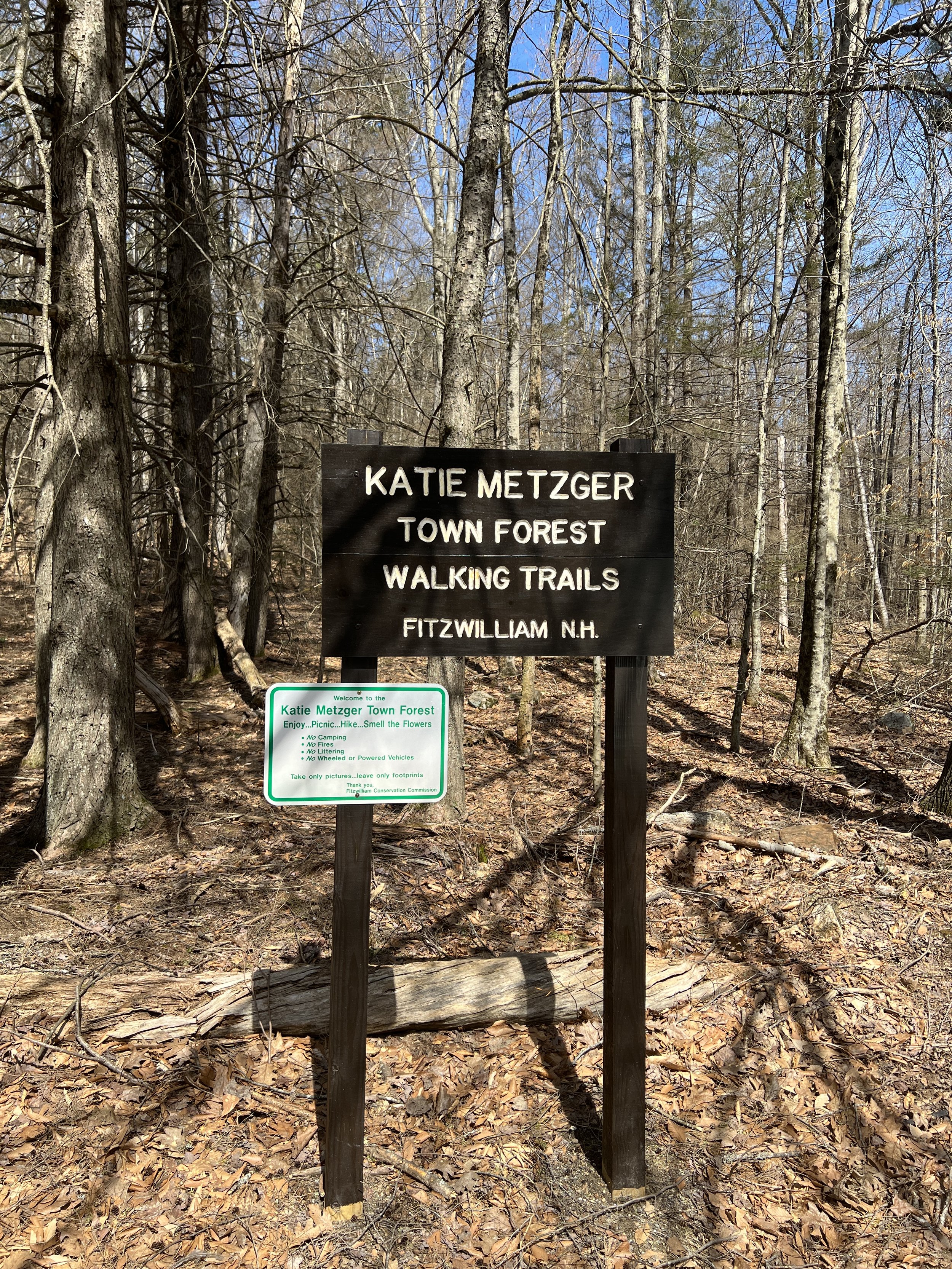
Katie Metzger Town Forest Walking Trail is a fairly new hiking trail located on Rt 119 in Fitzwilliam. There is a small pullout for parking with a sign marking the trail head.

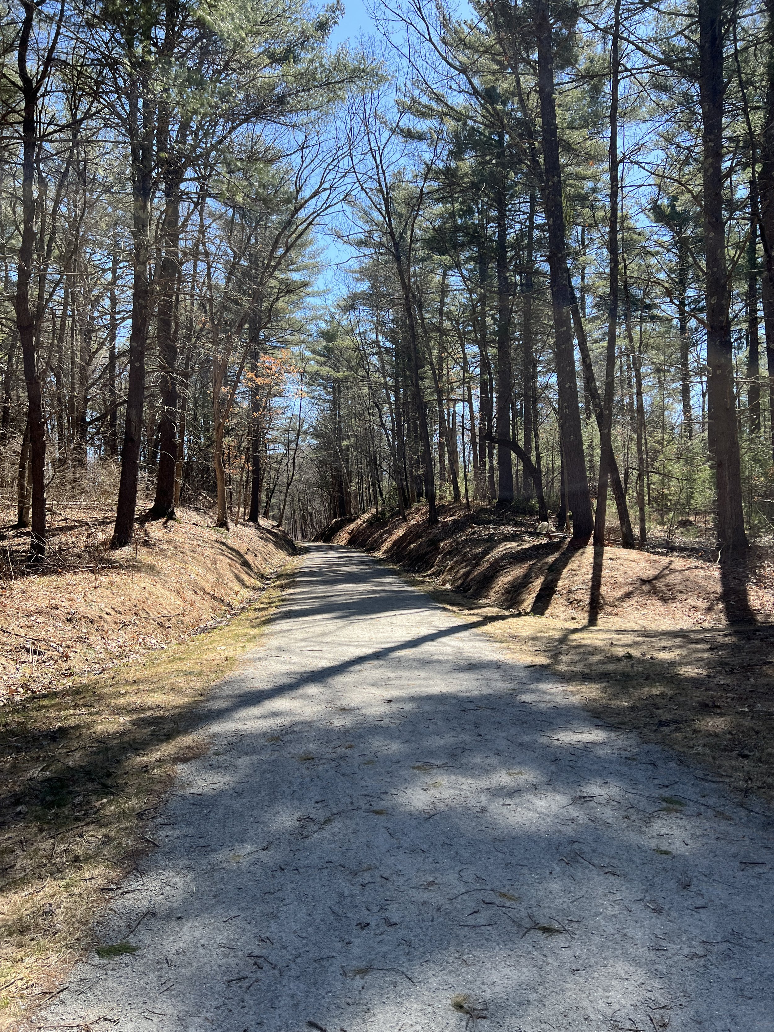
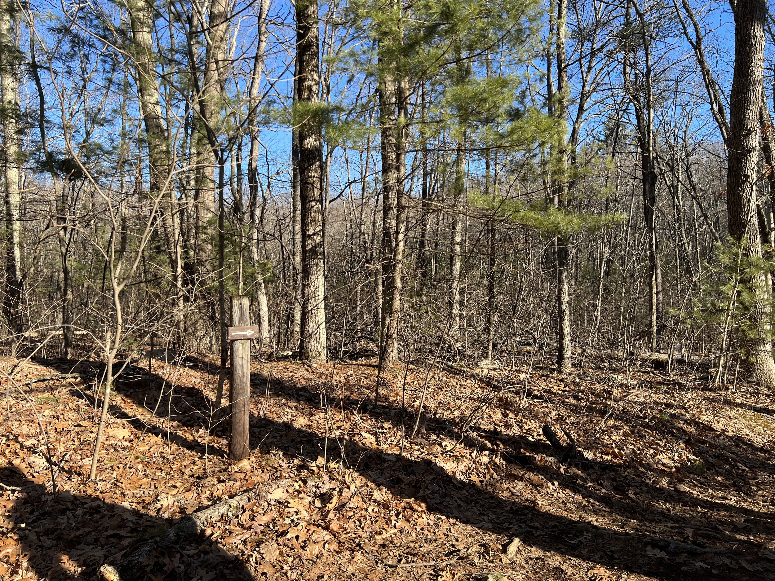
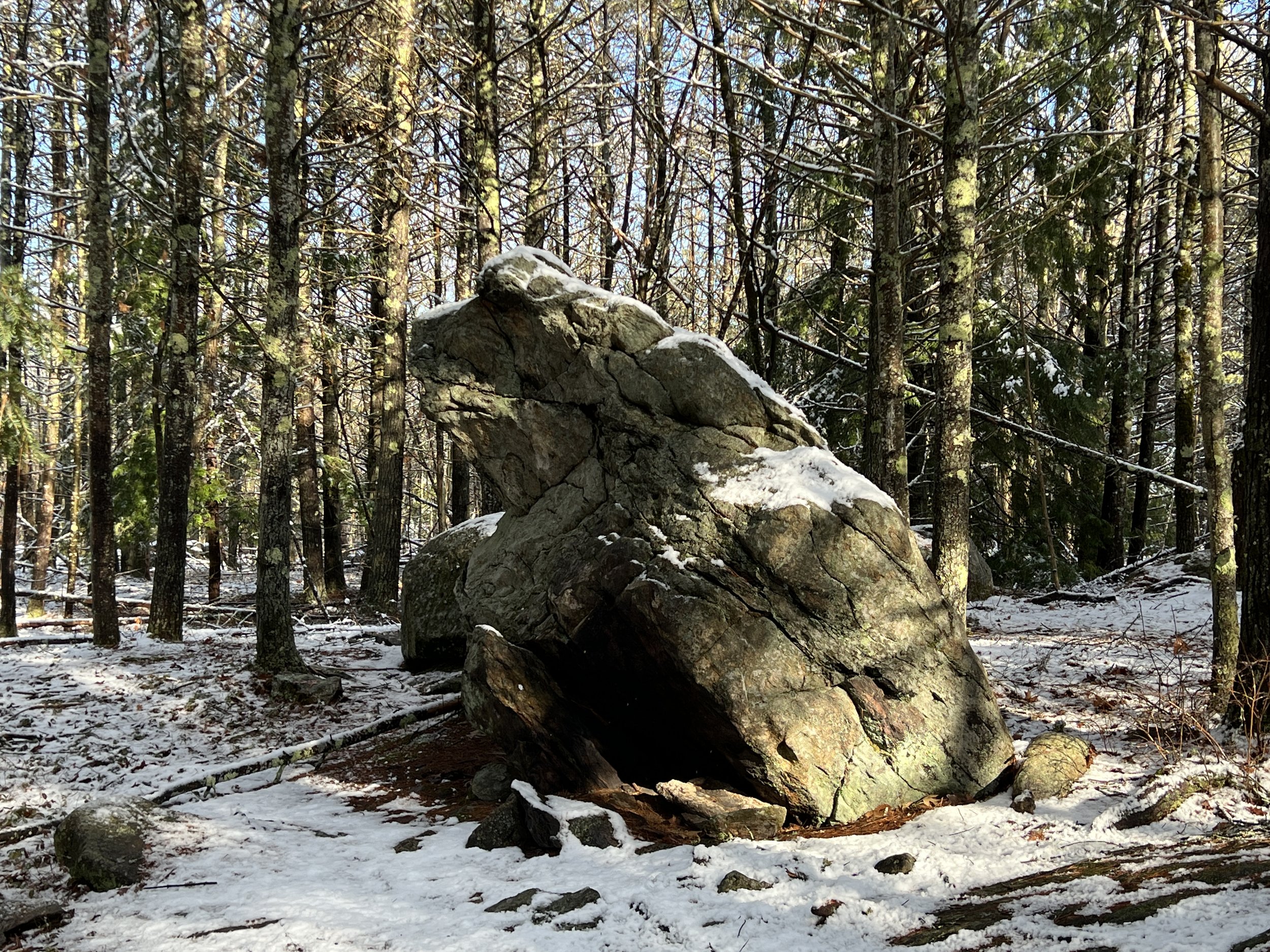
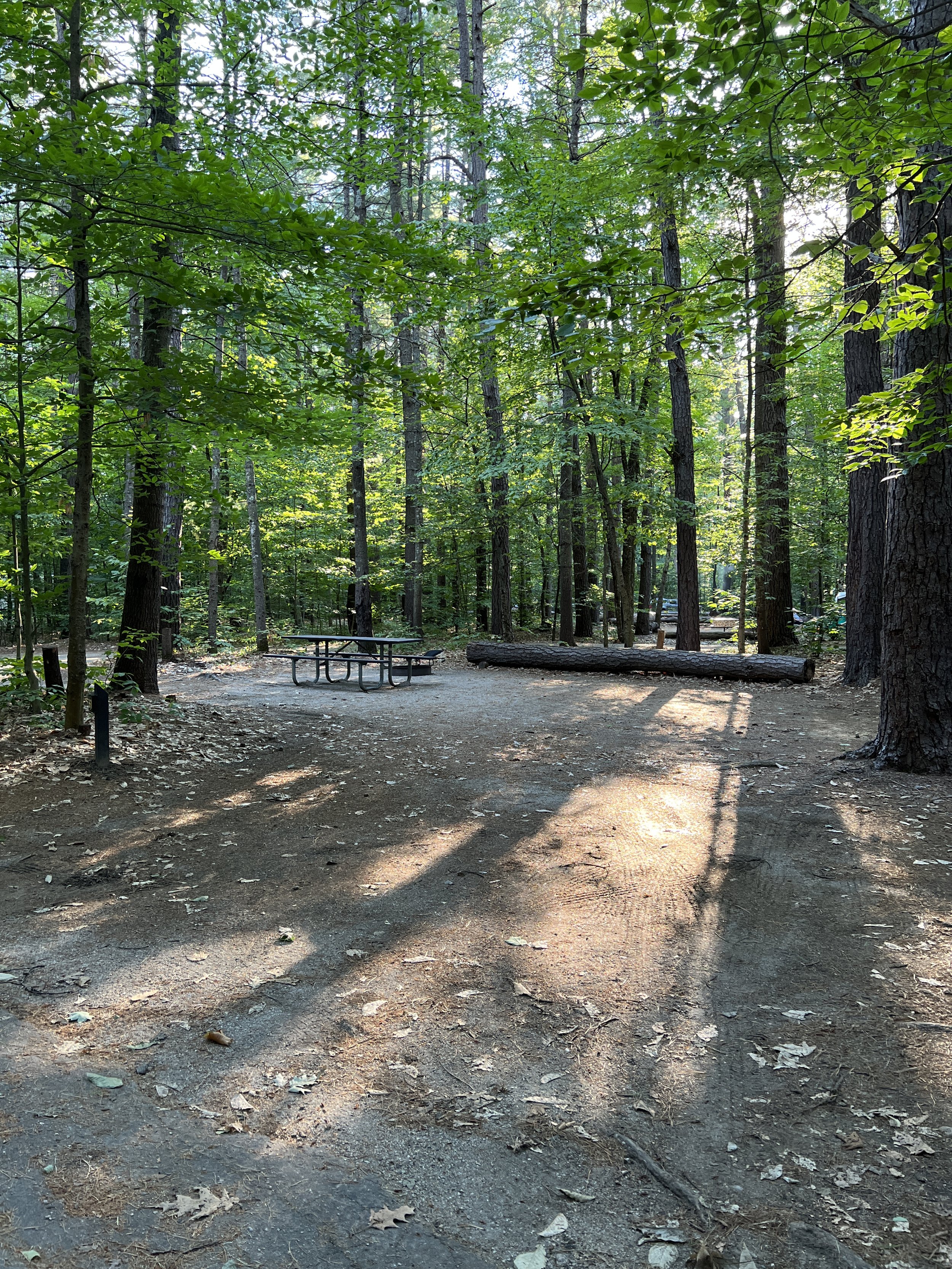
From the parking lot you walk into the woods where the trail is very easy to follow with different colored trail markers, marking different loops. As you start out there is a small loop off to your left. I did not take this loop as it was a small loop and did not make a difference in my hike.

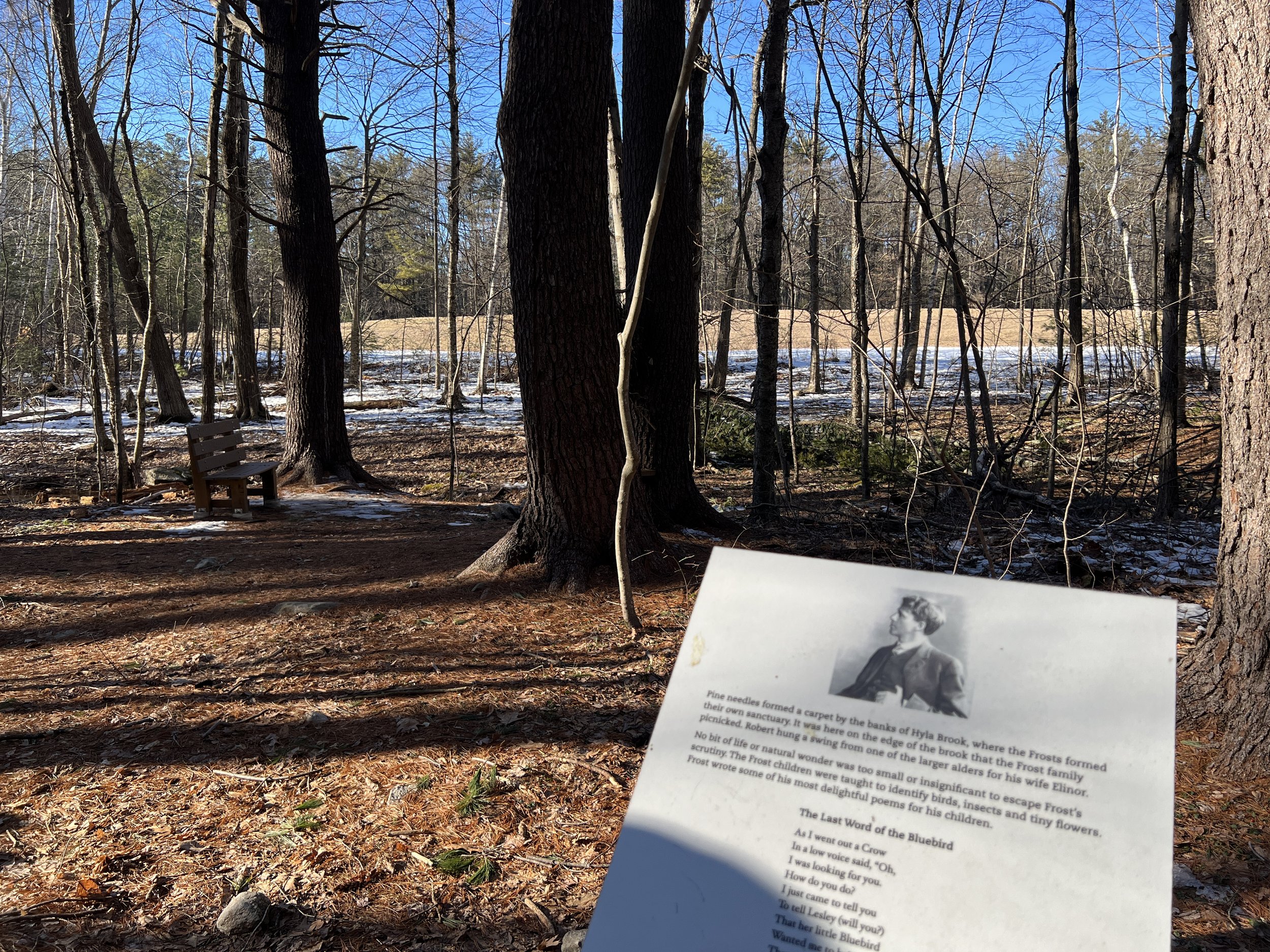
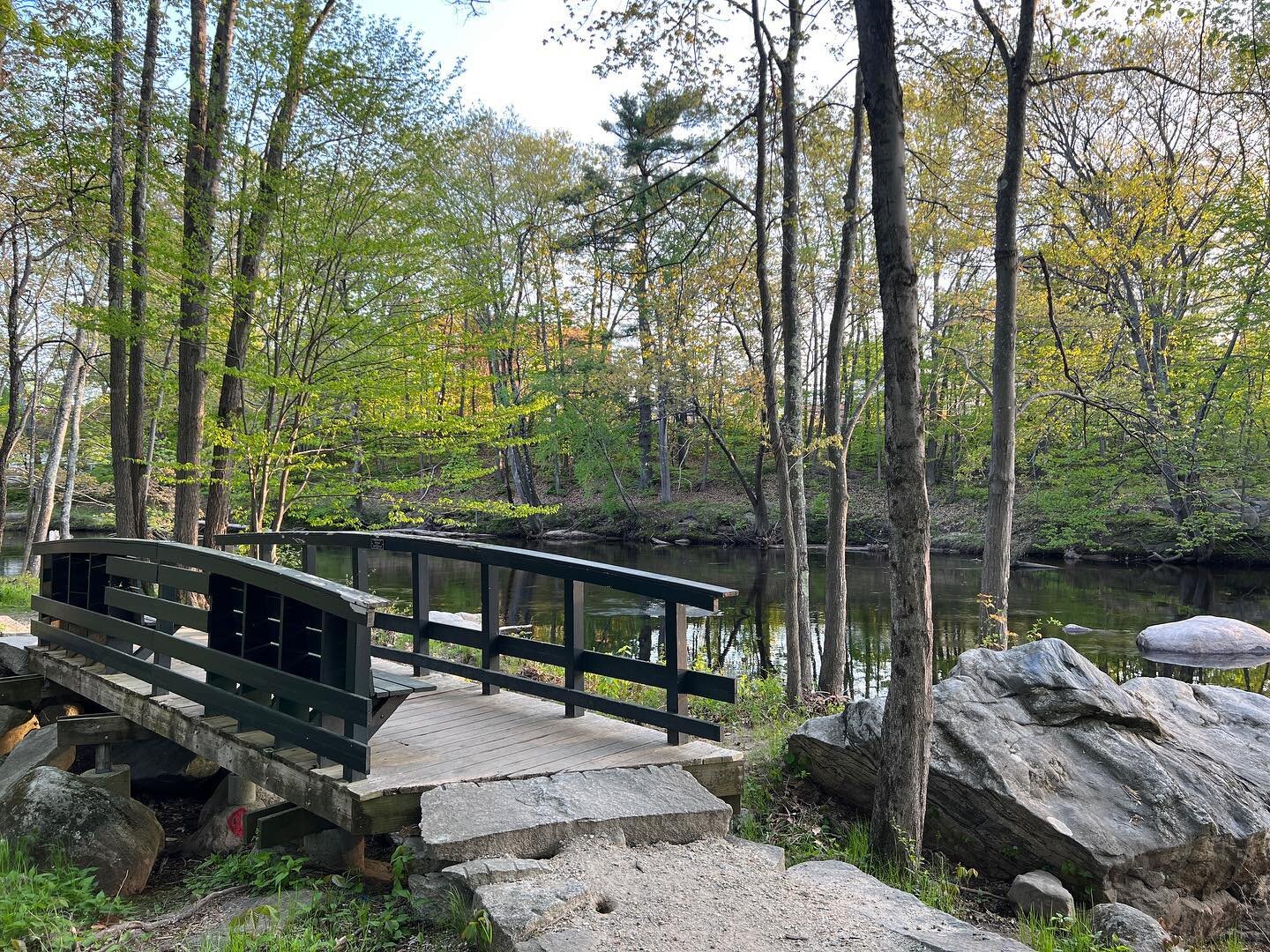
The next loop is the Laurel Loop, which is a short loop overlooking a bog and some Laurel. There is a small trail sign marking this loop and the trail markers are white along with a bench to enjoy the view. As you are looping back it is sharp turn to the left back to the main trail.

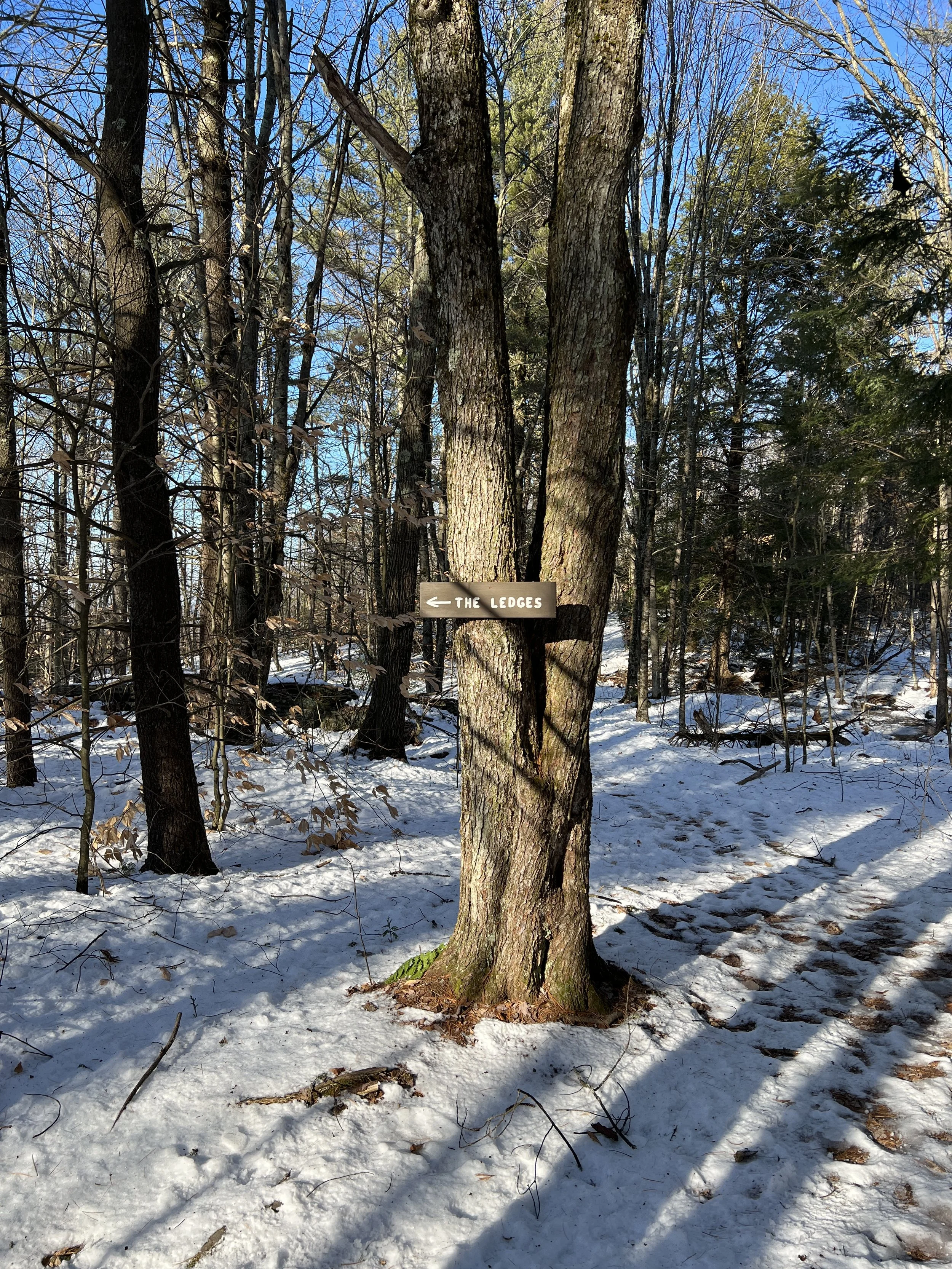
I forgot to clock each loop, but this one was very short. The next loop is the larger of them. You meander through the forest and watch for signs for Pond View.

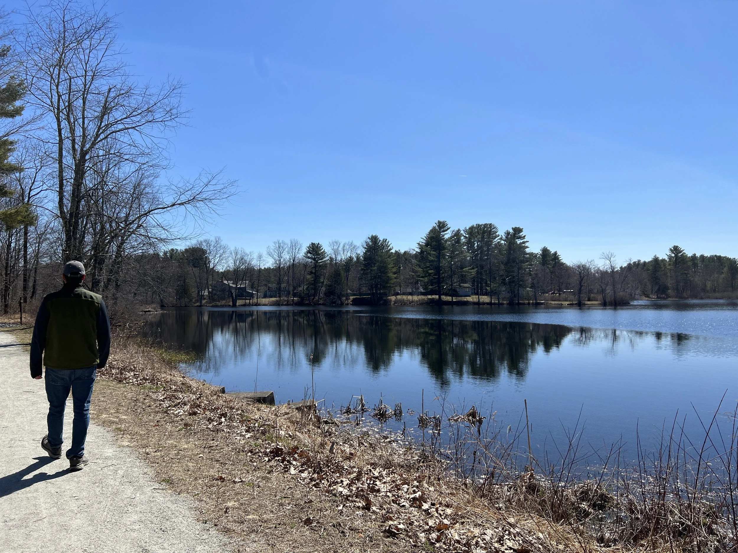
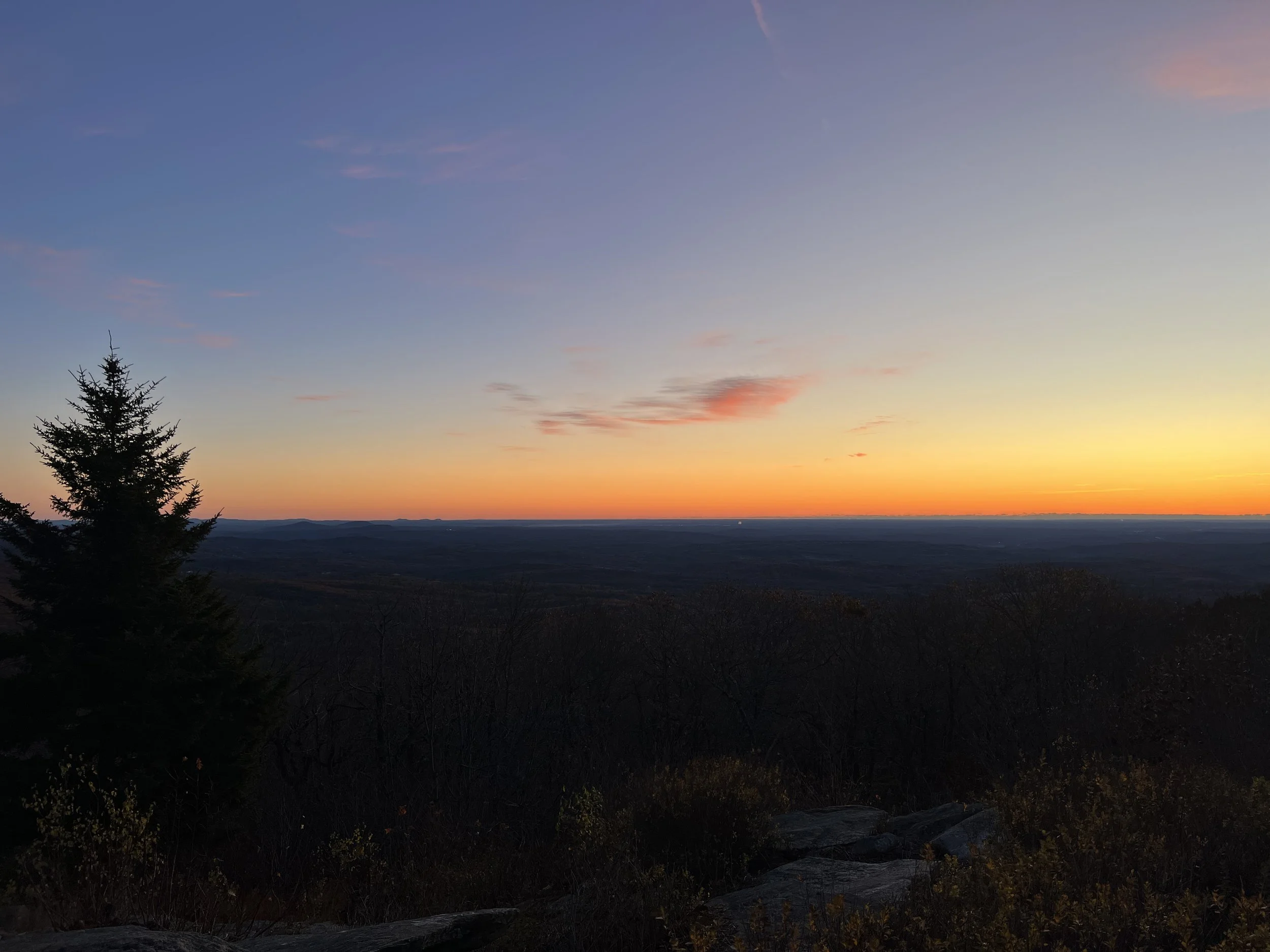
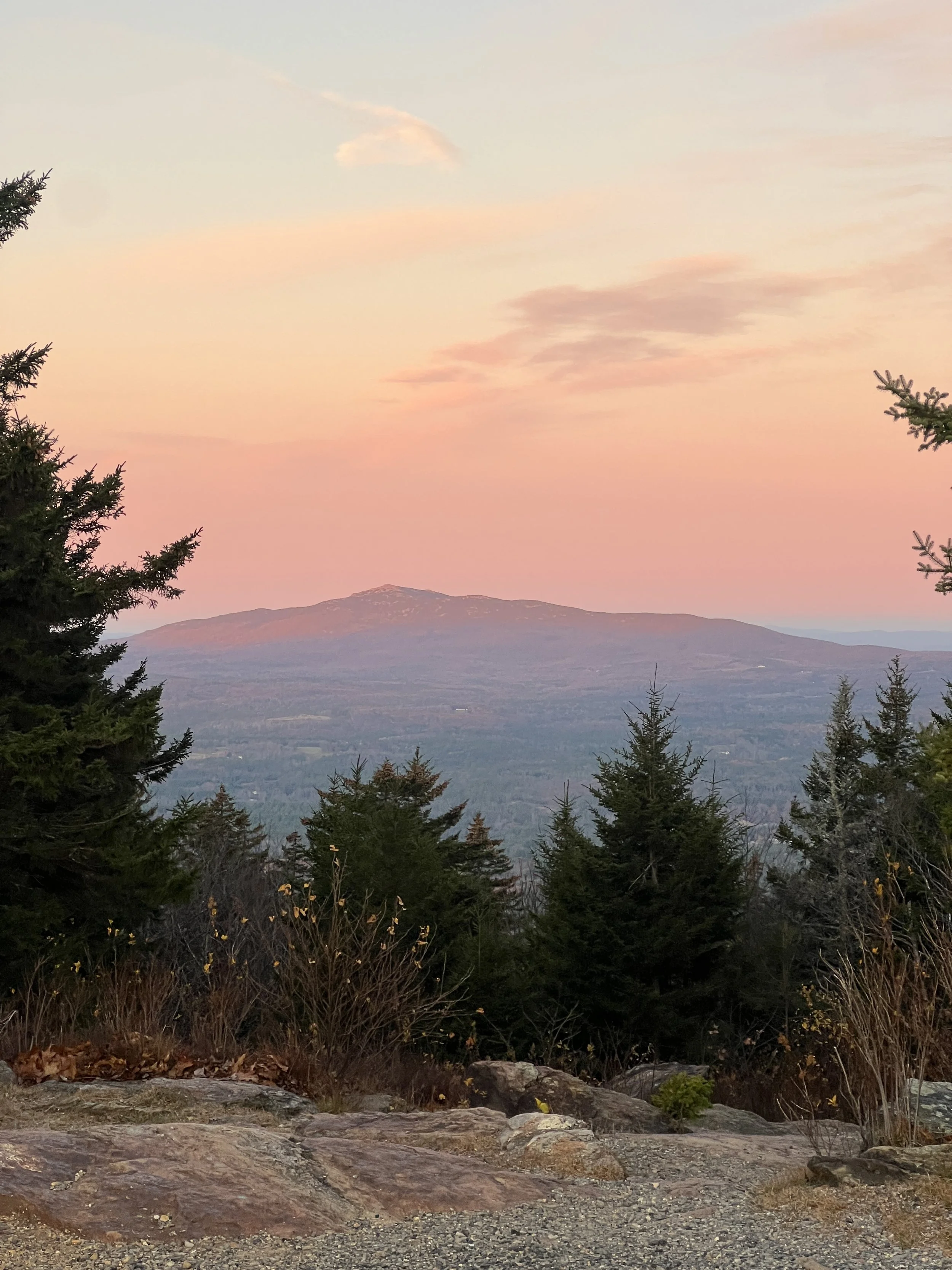
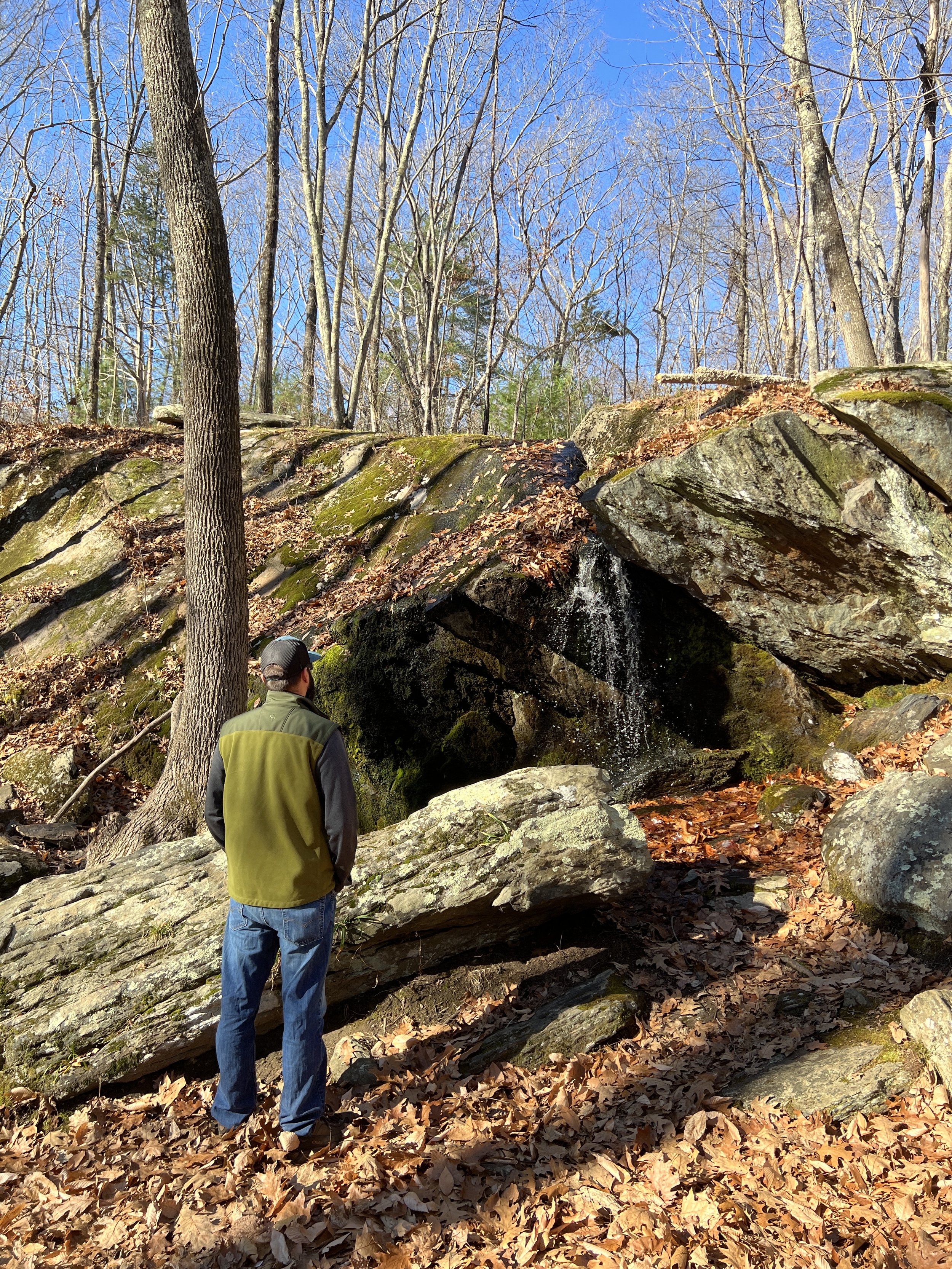
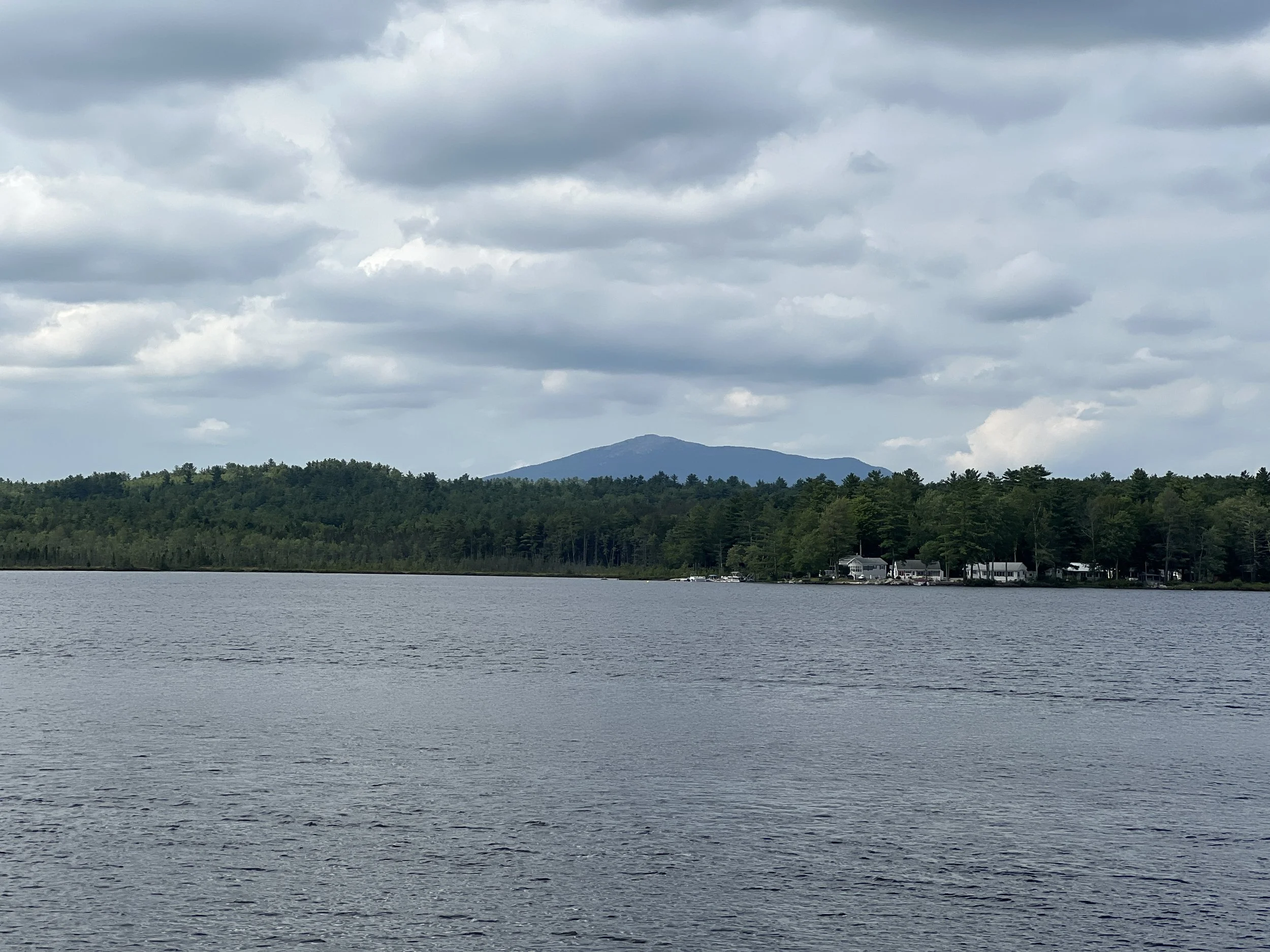
This is an out and back trail, not a loop. There is a bench with a beautiful view of a small pond. It was a perfect spot to sit and catch up with a friend.

After enjoying the pond you finish the loop and walk back towards the parking area. The Katie Metzger Town Forest Walking Trail was two miles and an easy walk through the woods. I apologize as I did not get as much detailed information as normal. I was hiking with a friend and we got lost in conversation, which is a great way to explore a new trail.

My All Trails Map of the hike.

Squannacook River Rail Trail

The Squannacook River Rail Trail is located on Depot Street in Townsend, MA. This Rail Trail is short, but well maintained and a perfect spot to get in a good walk or short bike ride. There is a small parking lot on Depot Road, which is the start of the rail trail. The trail walks behind the business of Townsend, so feels more urban than rural.

There are some sections where you are in the woods.

From Depot Street to the boat launch is about 1.75 miles. From here the well maintained trail stops, but it looked like you could continue walking down the old railroad bed. We stopped and enjoyed the water views before returning back to our car.

Overall I liked how flat and level this rail trail was. I do not think I would bikes here due to the short distance of the trail, but it would be a perfect spot for younger kids to bike.

Meadow Marsh Trail

Distance: 1 Mile Loop

Difficulty: Easy

Located near Greg Lake in Antrim, New Hampshire is the easy and short loop hiking trail. Meadow Marsh Trail is located on Craig Road just pasted the public beach area for Gregg Lake.. We visited in the winter and snowshoed. Park at the public beach area on Greg Lake Road and walk about a quarter of a mile up to Craig Road. My guess is in the warmer months you can park on the side of Craig Road. Once at Craig Road walk across the bridge and enjoy the beautiful views.

Continue up the dirt road a few hundred feet until you see the trail sign on your right for the Marsh Meadow Trail. This is the start of the loop.

The trail meanders through the woods a short distance until you come to spot with a water view.

Continue through the woods, which is easy to follow thanks to white trail blazes.

The trail crosses an old dirt road and goes back into the woods past some large rocks and then crosses another dirt road before coming to another beautiful water view.

After enjoying the views over the pond the trail loops back to the start. Meadow Marsh Trail is only .7 miles, but with the walk from the parking area it is one mile. Not a long hike, but very pretty and great for those who cannot go far or have children with them.

Skiing at Shattuck Golf Course

My family and I love to cross country ski. Living in the Monadnock Region we do not have a ton of options for groomed trails. When Shattuck Golf Course opened their course to cross country skiers we were pretty excited.

Located on Dublin Road in Jaffrey, New Hampshire is Shattuck Golf Course. The owners offer free groomed trails to cross county skiers in the Monadnock Region. There are no rentals or lessons. So you need to bring your own equipment. The trails start in front of the pro-shop.

There are three trails. Green, a quarter mile loop. Blue a 3 mile loop and Black a 3.5 mile loop. The day we went the trails were the not the best due to lack of snow this winter and some recent ice, but we were itching to get out. We chose do to the Blue Loop. The left hand side of the trail is groomed for skiers and the right is for snowshoers.

The first half of mile or so are some decent downhills before getting into the woods. The scenery is absolutely beautiful with some bridges and streams.

The trail loops around the edge of the different holes and in and out of the woods. There are some areas to get great views of Mt. Monadnock.

As you are heading back to the parking lot the hill is pretty steep. With some decent snow these are perfect trails for cross country skiers.

Before leaving make sure you stop at the Dublin Taproom, on-site, for a cold beer and some yummy food.

Mulpus Brook Loop

Distance: 1.5 Mile Loop

Difficulty: Easy

Mulpus Brook Trail is located within Town Forest in Lunenburg, Massachusetts. To access the trail navigate to Holman Street off of Northfield Road. If you take Holman Road directly from Route 13 you won’t be able to get to the trailhead due to a bridge being out. Once on Holman Street drive until you see a bridge, which is currently out. The large parking lot is on your right with a kiosk.

There are several trails in Town Forest, but our goal was to hike the Mulpus Brook Trail. From the parking lot follow the trail into the woods for about a tenth of a mile. This is where the loop starts and stops. We went right. The trails is well marked with trail blazers and maps.

We continued walking on relatively flat ground until we came to a four way intersection. Here we went left and continued walking through the woods. We walked roughly four tenths of a mile until the trail went left, which was marked with a red arrow.

Walk until you come to a bridge. Before the bridge take a left and follow the trail along the stream.

The trail follows the stream and over a couple bridges until it veers away from the stream and connects to the end of the loop. From here go left back to the parking lot.

The trail was 1.5 miles and easy to walk and navigate. I love a good hike along a stream and Mulpus Brook was beautiful.

Robert Frost Farm

Distance: .5 Miles

Difficulty: Easy

Located on Route 28 in Derry, NH was home to the late Poet Robert Frost in the early 1900’s. From May to October you can take a tour of the home. Year round there is access to the nature/poetry trail.

Park in the parking lot behind the house and follow the trail along the left side of the field. You will observe signs with history and some of Robert Frosts Poems.

Continue along the edge of the field until you come to the woods with a small sign with an arrow directing you to the right.

The trail goes through the woods and over a bridge to a small seating area overlooking a small brook.

As you are walking the trail there continues to be several signs with history and Robert Frost Poems.

The trail continues through the woods over another bridge and then back out onto the field back to the house.

This short trail is only a half mile long. This is perfect for the little hikers in your life or if you enjoy Robert Frost Poems. This trail was similar to the Robert Frost Interpretive Trail we did in Vermont a few summers ago.

Pack Monadnock Auto Road

Distance:1.3 Miles Oneway

Difficulty: Moderate

Pack Monadnock located in Miller State Park in Peterborough, New Hampshire is a popular hiking spot and scenic drive in the Monadnock Region. A fun fact is that Miller State Park is New Hampshire’s First State Park.

There are a few different ways to reach the summit. From the parking lot off of Route 101 are two trailheads. To the left is the Wapack Trail and to the right the Marion Davis Trail. From Old Mountain Road is the Raymond Trail that also connects to the Cranberry Meadow Pond Trail. Lastly is the Auto Road.

We have hiked the different trails up Pack Monadnock and driven the Auto Road, but have never walked the Auto Road. This 1.3 mile road is a great alternative to hiking the trails up Pack Monadnock. In the off season cars are not allowed up the road. We hiked the auto road after a snow storm and it was absolutely beautiful.

The road is a steady incline up the mountain with some switchbacks.

About halfway up the mountain is an outlook looking towards Temple Mountain.

The road flattens out before one last steep section to the summit. At the top is a picnic area, fire tower and park store which is open seasonally. Unfortunately the summit was covered in clouds, but it was still beautiful with the snow covered trees.

We saw people snowshoeing, cross country skiing and hiking the auto road. This is a popular spot to hike to watch the sunrise. If you are hiking it in the winter make sure you wear appropriate footwear either snowshoes or microspikes depending on the trail condition. With the steady incline of the road I would say this is a moderate hike.

This page contains affiliate links for which I may receive a small amount of compensation at no cost to you.

Frog Rock

Distance: .4 miles oneway

Difficulty: Easy, good for young kids

Located in New Boston is Frog Rock, a large granite boulder which was a popular summer attraction in the early 1900’s. Today you can take a short hike to check out this fun rock formation.

The trailhead is not marked and can be a little difficult to find. If you are coming from Mount Vernon head northwest on 2nd NH Turnpike South. The trailhead is a logging road on your right. It is between Hazel Road and Hopkins Road, which are on the left. Park along the edge of road and walk down the logging road.

As you are walking down the logging road there is a sign for the New England Forestry Foundation.

About .3 mile down the logging road is a side trail on your right that is not marked.

Walk .1 miles until you reach Frog Rock.

This short and easy hike is perfect for young children. While you are in the area make sure you check out Senter Falls.

High Blue

Distance: 1.75 Mile Loop

Difficulty Easy with some small hills

High Blue hiking trail is an easy hike with a good view located in Walpole, New Hampshire. I found this trail thanks to my The New Hiking the Monadnock Region book. To access the trailhead drive to Scovill Road, which is dirt. Once there drive about a half mile where you come to a junction of three roads. On the right is a private driveway, straight ahead is a radio tower and on the left is the start of the trail. The parking area is to the left of the trailhead and only fits one or two cars.

Walk down the dirt road past a bog and you will come to a green gate and a sign for High Blue. It is about a quarter of a mile from the parking lot.

Walk around the gate and follow the trail up through a field until you come to another gate on your left. This one is aluminum. Walk around the gate and continue up the trail.

There are no trail markers, but the trail is pretty easy to follow. Continue on the trail until you come to a sign for The Ledges on your left.

This is a short side trail to a ledge outcropping. With all the leaves gone there was a little view, but not great.

Return to the main trail and continue a few hundred feet until you are at the top of High Blue. There is a bench and a beautiful view of the Connecticut River Valley looking into Vermont.

From here you can return the way you came or you continue on a loop, which is what we did. After the lookout the trail is marked by yellow trail markers.

The trail meanders through the woods, up and down little hills and over a small stream. The trail comes out to an old dirt road. Where there is a sign marking the High Blue Vista Loop trail behind you.

Take a right and the old road goes back to the parking lot. The loop was about 1.75 miles and fairly easy with a few gradual inclines. We hiked this in late December and microspikes were needed. Overall, we really enjoyed this hike. For not a lot of effort there was a beautiful view.

This page contains affiliate links for which I may receive a small amount of compensation at no cost to you.

Cascade Brook Falls

Cascade Brook Falls in a small waterfall located in Smithfield, Rhode Island. The trailhead to this waterfall is located at the end of Mapleville Rd at the sign for Ken Weber Conservation Area. There is no parking lot, but plenty of room to park on the side of the road.

Follow the trail into the woods following blue trail markers. Once you cross over a stone wall you follow the trail over ledges and rock scrambles.

After walking about a tenth of a mile you come to a small stream that you can walk over and walk down the ledges to the bottom of Cascade Brook Falls. This is not an impressive waterfalls, but is still pretty. With the limited water flow my guess is this can dry up for several months of the year. As someone who loves waterfalls like I do, it is worth the visit if you are in the area.

You can continue on the trail that is about a mile loop back to the trailhead. Due to time constraints we did not do the loop, just to the falls and back.

Education Farm at Joppa Hill

Distance: 2 Miles with option for more.

Difficulty: Easy with a couple hills.

Dogs are allowed on leash

I wish I knew about the Education Farm at Joppa Hill when my daughter was younger. This would have been a great place for her to play and explore. Located at 174 Joppa Hill Road in Bedford, New Hampshire is this educational farm with farm animals, a farm store, hiking trails and more. It is free to visit the farm, but there is a box for donations.

The farm has several farm animals such pigs, horses, an emu, chickens, alpaca’s, goats, sheep, rabbits and horses. We had a lot of fun visiting with the animals.

After enjoying the farm animals we took a walk on one of the trails. We did a loop walking past the animals baring left into the woods.

We walked through the woods coming to an intersection in the trail. If you went straight you continued onto the Pulpit Brook Trail. We went right, which is also part of the Pulpit Brook Trail. The trail continued through the woods crossing a couple small bridges.

There was another intersection in the trail and we went right continuing on our loop back in the Joppa Hill Trail.

Here was the steepest section of the trail, which was only a few hundred feet. The trail continued through the woods and a couple fields before returning to the farm. We enjoyed the animals a little longer, there is food to buy if you want to feed some of them.

The loop was about 2 miles long. There were some inclines, but overall a pretty easy trail to walk and follow. We also enjoyed visiting with the animals. If you have young children or are just an animal lover this is a great place to visit.

Fisherville Brooks Wildlife Refuge

Distance: Up to 5 miles

Difficulty: Easy

Fisherville Brooks Wildlife Refuge is an easy hiking trail located in Exeter, Rhode Island. The trailhead is located at 99 Pardon Joslin Road, which is a dirt road. There is a sign marking the parking lot.

There is a good size parking lot, with a porta potty and a kiosk with trail information. There are two trails one on each side of the road. Since we had limited time we did a short loop on the Blue Trail, which goes around Upper Pond. The Blue Trail starts beside the kiosk and was well marked.

The trail meanders through the woods, which was very pretty.

We came to a small bridge that provided some beautiful water views. I read that this is a popular place for bird watching.

As we continued around the pond there was a short side trail to an old cemetery that was interesting to see.

We continued around the pond and came to a dam with a bridge over it and more views of Upper Pond.

After crossing the bridge we looped back around through the woods to the parking lot. It was a little less than a mile and half around the Blue Loop. There were options off this trail to extent your hike if you wish. The Fisherville Brooks Trail was an easy walk and easy to navigate. It was a perfect stop for us after we had done some exploring around Rhode Island.

Whales Rock trail

Distance: 2 Miles Roundtrip

Difficulty: Easy

No Dogs Allowed

Located near Narragansett, Rhode Island is a beautiful easy hike through the woods to sweeping ocean views.

To access the trailhead navigate to 33 Cormorant Road South Kingston RI. The parking lot is down this driveway, which is hidden from the main road. There is an entrance to a National Guard Property and the driveway is off to the left. Drive down the driveway and there is a small parking lot on your right.

Follow the dirt driveway past a private residence to a grass path that leads into the woods and onto some boardwalks.

Much of the trail follows a large fence for the National Guard property. If you have young children use caution as there are many old pole holes in the ground on the trail with rough edges that could hurt if fallen on.

After walking the boardwalks and through the woods, the trail opens up to beautiful ocean views.

Walk along the edge of the ocean and fence line for more beautiful views. The trails comes to an end at a sign and a small beach you can explore on.

It is one mile to the beach. From here you turn around and return to the parking lot. This is an easy and beautiful trail. I am not sure I would recommend this trail for young kids just starting out hiking due to the old pole holes in the middle of the trail and risk if injury if they fall on them.

Acton Arboretum

Distance: Up to 2 miles

Difficulty: Easy

Acton Arboretum is a beautiful garden with walking paths located on Taylor Road in Acton. Make sure you check out the map before going.

We visited the Arboretum in late October when there was not much in bloom, but it is still a beautiful area to explore. There are walking paths winding around the gardens with benches to sit and relax if you wish.

If you want a longer walk there are a few paths. We walked the Bog Loop which meanders through the woods and crossed boardwalks over a bog.

It was not a long walk around the trails and gardens, but we were able to get almost 2 miles in. This would be a perfect place to bring a picnic and enjoy the beautiful gardens and natures trails.

Since you are in the area I highly recommend checking out deCordova Sculpture Park and Museum in Lincoln.

Dorset Quarry

Dorset Quarry has been on my to visit list for a while. I discovered this popular swimming hole in my Take The Plunge book. Located on Route 30 in Dorset, Vermont is this fun swimming hole. The swimming hole is on private property so please be respectful when visiting.

The day we visited it was rainy and cloudy so we were fortunate that it was not very busy. From the parking lot you walk onto a grassy area with various rocks scattered throughout.

Once at the quarry there are a variety of ares to sit and enjoy the quarry or all size rocks to jump from depending on your comfort level. I am not sure exactly how deep it is, but from what I read on various websites it is very deep.

As the afternoon went on the sun came out and we ended up spending several hours jumping off the rocks and swimming. Dorset Quarry is now one of our favorite swimming holes we have discovered in Vermont.

A couple notes: There is a $15 fee to park and you have to sign a waiver to swim. There are portable potties, a large packing lot and trash cans. They closed the parking lot at 6pm. As a reminder it is private property so please be respectful. Make sure you do not have anything on that you do not want to lose such as watch, go pro’s ect. If you drop them in the water you are not be getting them back. I heard that drivers come in a few times a year to clean out the bottom of various things people drop in the quarry. Overall this is a great place to spend a couple hours or the day.

This page contains affiliate links for which I may receive a small amount of compensation at no cost to you.

Sip Pond Peninsula Trail

Distance: 1.6 Miles Roundtrip, option for longer

Difficulty: Easy

Located in Fitzwilliam, New Hampshire is this easy hiking trail to Sip Pond. The trailhead is located off a Old Turnpike Road. From Route 12 turn onto this dirt road and drive about .6 miles until you see a conservation sign on your right. Park along the edge and walk towards the kiosk at the back of the parking lot.

You walk down a short path that connects to the Monadnock Recreation Trail which is a multipurpose trail. Turn right and follow the recreation trail.

Continue down the trail a half mile until you see a trail sign on your right for Sip Pond.

Follow this well maintained path another third of a mile until you get to the end where you have beautiful views of Sip Pond and Mt Monadnock.

From here you can walk back to the Monadnock Recreational Trail and continue down the trail, which I believe the trail goes all the way to Keene. Or you can head back to the parking lot. If you head back to your car the total length of the trip is 1.6 miles. With this trails being around a swamp, my thoughts are it is going to be beautiful when the fall colors start changing.

Granite Town Railtrail

Distance: A little over 6 Miles one way. Options for more or less.

Difficulty: Easy for walkers, if riding a bike there is a small ridge line with rocks and roots.

Located along Route 13 in Milford, New Hampshire is the Granite Town Rail trail. This is a popular trail for walking, running and bike riding. The start of the trail is located south of the Milford Oval at the Department of Public Works building. There is a small parking lot off to the right of the building.

There are two small bridges to get over before you get to the trail. The trail provides a beautiful ride through the woods.

There is a small narrow tunnel that the trail goes through. My 6ft 2in tall husband had to duck while riding through it. It was kind of cool to ride through.

A little over a mile from the parking lot the trail starts to get a little technical. For about a half mile the trail went up and over a ridge with several rocks and roots. My husband was able to ride over them no problem with his fat tire bike, but my daughter and I had to walk our bikes which was a little more challenging for us.

After getting around the ridge the trail was flat and smooth and perfect for bike riding.

There is a parking lot at Melendy Road, if we were to ride bikes here again I would park there to avoid the hill. From Melendy Road in Milford the trail is flat with some pretty views of bogs.

There is another parking lot at Palmer-Bartell Forrest Trailhead. The trail goes all the way to Lake Potanpio in Brookline. Oneway the trail is a little over six miles. This is a perfect trail to get out on for a few hours for biking, walking or running.

White Lake State Park

White Lake State Park is located along Route 16 in Tamworth. This New Hampshire State Park is a great place to spend the day or for a camping trip. Located near the Lakes Region and the White Mountains this state park provides a great place to spend the day enjoying the lake.

White Lake State Park has a beautiful lake beach with mountain views. There is a small fee to enter the state park. This popular picnic area has several picnic table, trees for shade, a playground and canoe and paddle boat rentals. There is a sandy beach that extents into the lake giving you a large shallow sandy area to play in. We were impressed with how clear the water was.

We throughly enjoyed the beautiful views of the surrounding mountains.

We did not camp here, but drove through part of the campground. There are two sections to camp in, one with some lake views and other sites in the woods. The campsites were spacious and clean. There is no electricity or water hooks ups. It looked like the bathroom facilities were outhouses.

We loved spending the afternoon enjoying the lake. We swam, threw a frisbee around, played in the sun and read. White Lake State Park has become one of our favorite state parks to visit for swimming.

Dorrs Pond Loop

Distance 1.1 Mile Loop

Difficulty: Easy

Located in Livingston Park in Manchester, New Hampshire is Dorrs Pond Loop Trail. This easy hiking loop is a perfect short hike if you need to kill some time in Manchester like we did. The entrance to Livingston Park is across from Puritan Back room on Hooksett Road in Manchester.

There is a large parking lot with bathrooms at the trailhead. We started our walk by going right from the parking lot that follows a wide path around the pond. The first part of the trail has a series of boardwalks, which are always fun to walk on.

The second part of the trail continues as the wide dirt path back to the parking lot. .

The loop is 1.1 miles around Dorrs Pond. The trail is flat and a popular spot for walking, running and dog walking. It was the perfect spot for us to get a little walk in while being in the middle of Manchester. Livingston Park also has a playground, ball fields and a swimming pool.

Wallis Sands State Park

Wallis Sands State Park is located in Rye, New Hampshire. This is a smaller state park and ocean beach. With New Hampshire having a short coast line there are not a lot of ocean beaches, but this is one of my favorite to visit.

There is a large parking lot, large grass area, bathroom and changing facility and beautiful beach area. On a busy day, the parking lot can fill up. If you go in the evening the changing room does close down. We learned the hard way when we went to go change back into our clothes and the doors were locked. I think I am ready to invest in a portable changing room.

The beach has soft sand, great waves and is a perfect place to spend an hour or the day. The swimming area also has soft sand, which is great for swimming and wading.

The beach is long enough if you want to take a walk and enjoy the sand and waves. If not there is plenty of opportunity to sit and relax with your favorite book or enjoy the cool water and waves.

This page contains affiliate links for which I may receive a small amount of compensation at no cost to you.